Lukomir
Hike to Lukomir, Bosnia's highest permanently inhabited village at 1,469 m, perched above dramatic Rakitnica canyon near Sarajevo.
From Sarajevo: Lukomir Village Hiking Tour with Guide
Quick facts
- Region
- Sarajevo Canton
- Altitude
- 1,469 m
- Distance from Sarajevo
- 35 km (1.5 h drive)
- Currency
- BAM (1 EUR = 1.95583 KM)
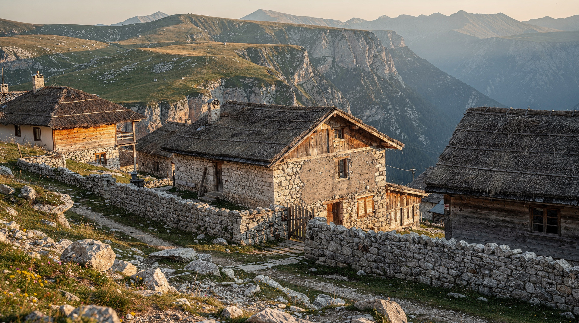
Lukomir is the village that time appears to have half-forgotten. Perched at 1,469 metres on the edge of Bjelašnica plateau, it overlooks the sheer walls of the Rakitnica canyon and has been continuously inhabited since the medieval period. The stone houses with their steeply pitched roofs, the resident flock of sheep and the women in traditional dress who still spend summers here make it one of the most photographed — and most genuinely atmospheric — communities in Bosnia. Getting there is an adventure in itself, which keeps the crowds manageable and ensures those who do arrive feel they have earned it.
| At a glance | |
|---|---|
| Where | Bjelašnica plateau, Sarajevo Canton, edge of Rakitnica canyon |
| Cost | Free to visit the village itself; guided hikes and 4x4 transport vary by operator, and a simple village lunch runs around 10-15 BAM |
| Time needed | A full day from Sarajevo, including travel |
| Getting there | Guided tour, self-drive to Umoljani then gravel track, or hike from Bjelašnica plateau |
| Best time | June to early October, when the road is open and villagers are in residence |
Is Lukomir open year-round?
No. Lukomir is a seasonal village. Most families leave before the first heavy snowfall, usually in October, and return in May when the plateau road reopens. Winter visits are theoretically possible with a 4x4 and good winter tyres, but you will find no services and very few people. The ideal window is June through early October: the plateau is green, the canyon views are spectacular, and at least some villagers are in residence.
Getting to Lukomir from Sarajevo
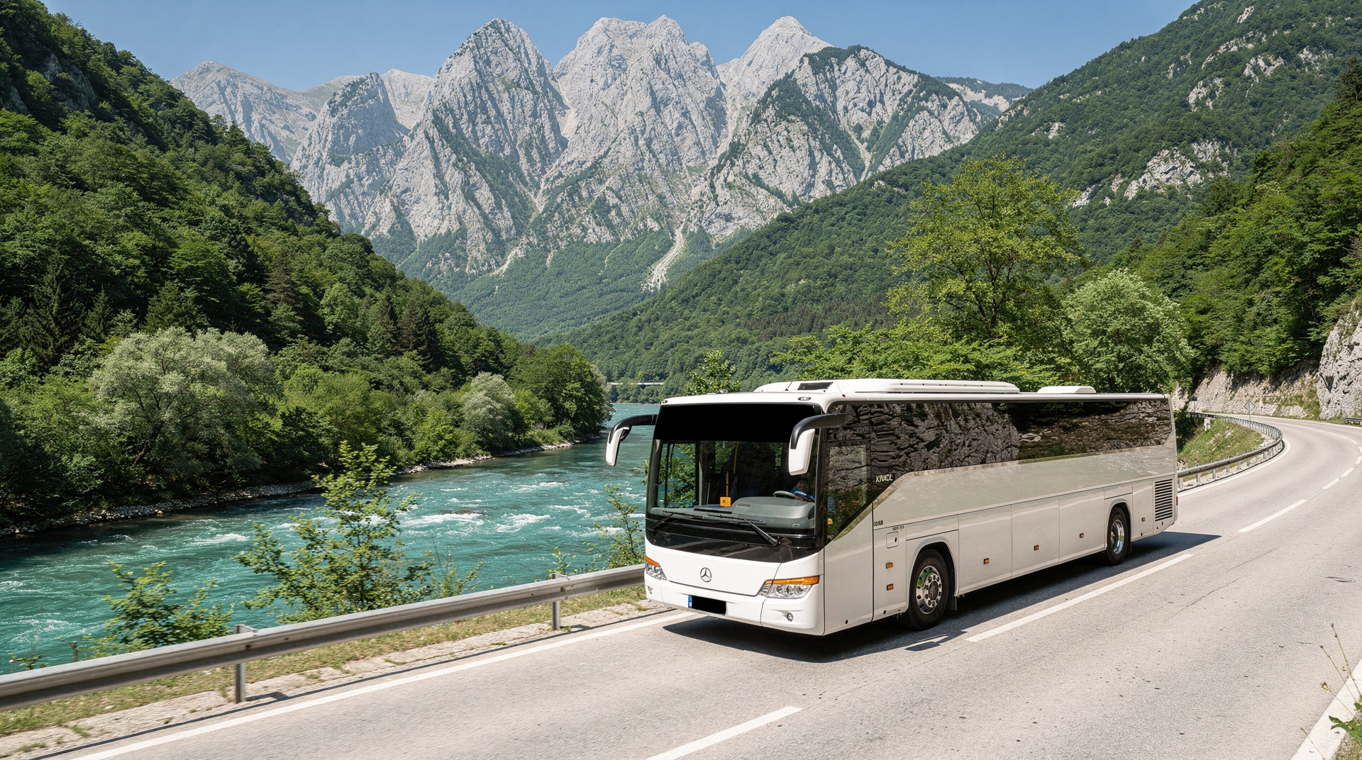
By guided tour: The easiest and most informative option. A full-day guided hike to Lukomir from Sarajevo handles transport, provides historical and cultural context from a local guide, and typically includes a home-cooked lunch in the village. Most tours depart Sarajevo at 08:00-09:00, reach the trailhead by 10:00-10:30, and return to the city by early evening.
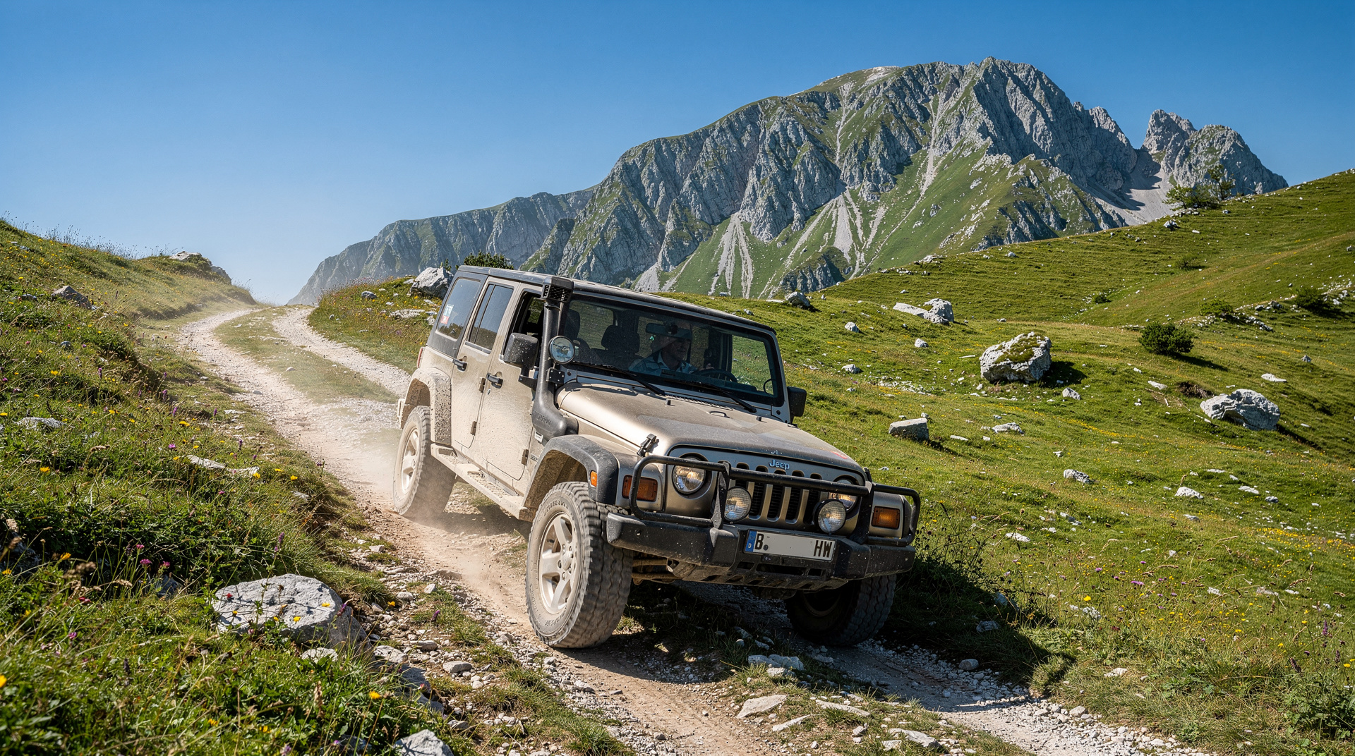
By car: Drive southwest from Sarajevo on the Bjelašnica road. At Umoljani (26 km from the city centre), the tarmac ends and a rough gravel track continues 9 km to Lukomir. A standard car can usually manage this in dry summer conditions if you drive slowly; after rain or in early June the track can be muddy enough to require a higher clearance vehicle. Allow 1.5 hours total from central Sarajevo to the village.
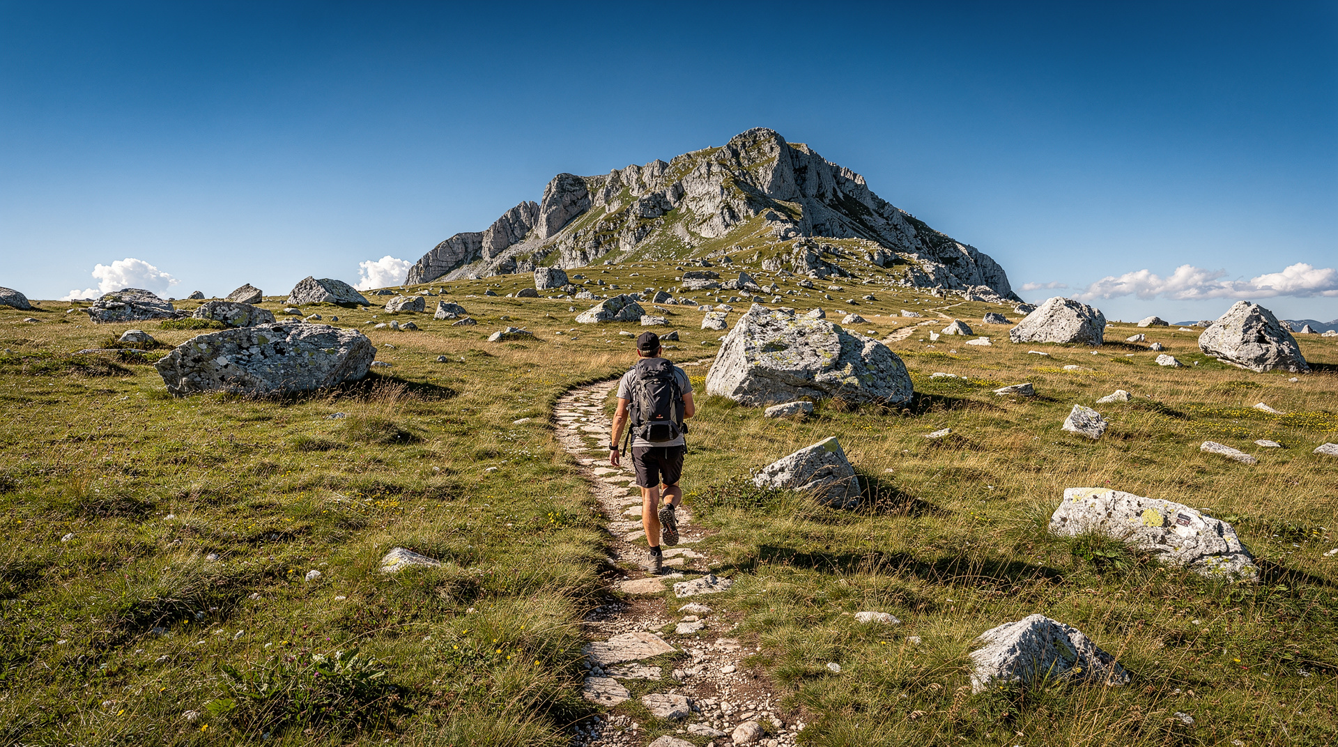
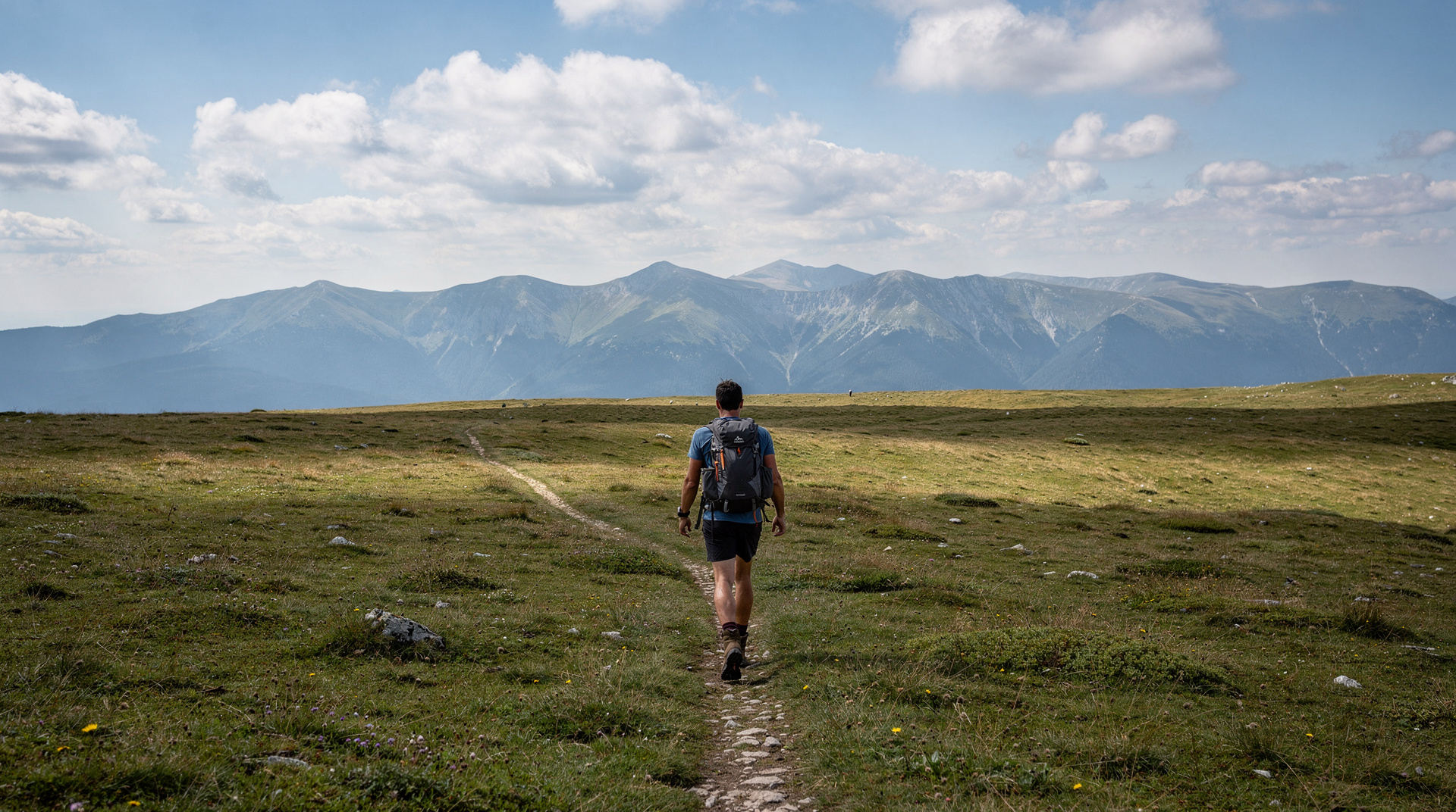
On foot from Bjelašnica: From the ski resort plateau, a marked trail runs southwest across open grassland to Lukomir in about 2.5 hours (9 km, modest ascent). This is the most scenic approach, passing through true alpine landscape with views east to Trebević and north across the Sarajevo valley.
The hike from Umoljani
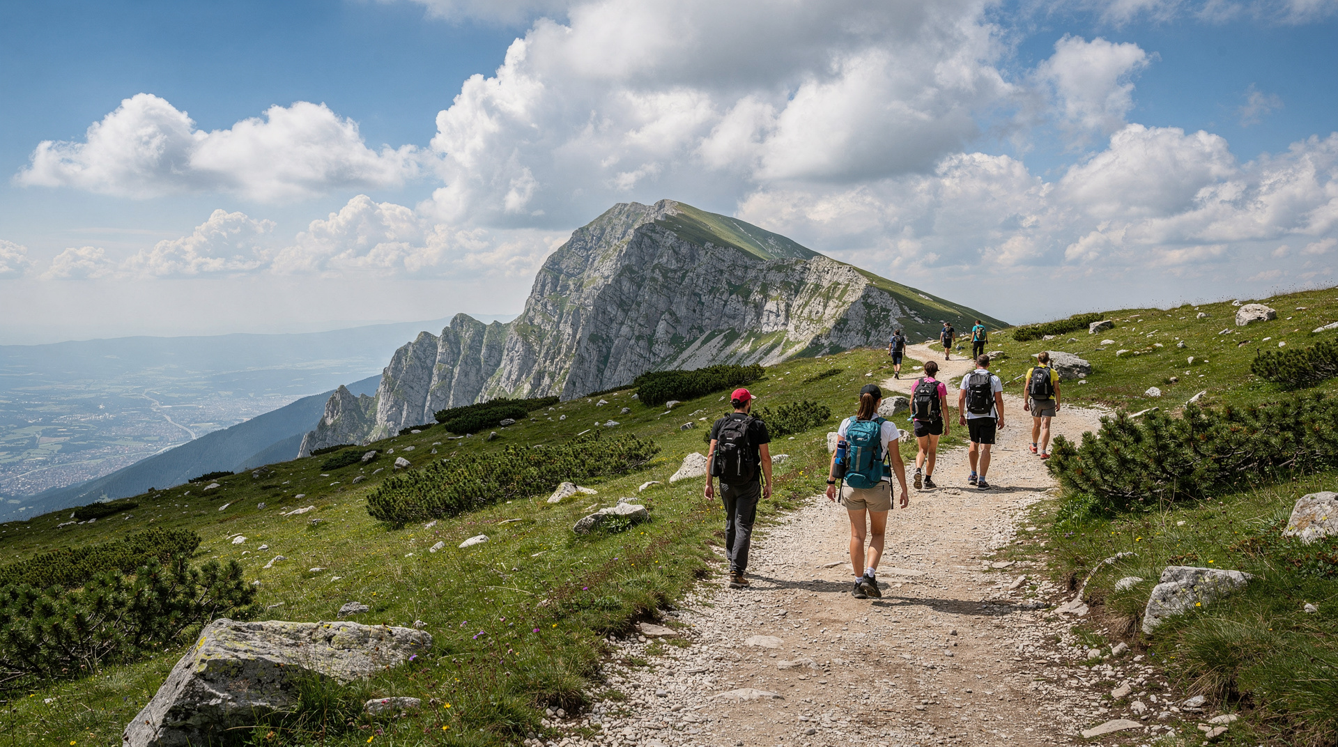
The most popular self-guided approach starts from the village of Umoljani (1,100 m), where there is a small car park and a marked trailhead. The path climbs steadily through beech and fir forest for about 45 minutes before emerging onto the plateau, with Lukomir’s stone rooftops becoming visible across a shallow bowl. Total walking time from Umoljani to the canyon viewpoint above the village is about 1.5-2 hours each way. The trail is signed with red-and-white mountain markers and is manageable for anyone reasonably fit — there are no technical sections, but the final descent to the village edge is steep and loose underfoot.
A small-group hike to Lukomir uses this same Umoljani approach in a smaller, more personal format than the larger full-day tours.
What to do in the village
Lukomir itself is small — under 50 houses, with a permanent population of fewer than 20 elderly families. There is a simple café that serves coffee and home-made cheese in summer, and a few residents sell hand-knitted wool socks and small crafts. The main draw is the combination of the architecture, the pastoral setting and the views into Rakitnica canyon, which drops nearly 800 metres from the plateau edge to the river below.
The canyon rim trail, which continues east from the village along the cliff edge, is one of the most dramatic short walks in Bosnia — even 20 minutes of walking it gives a visceral sense of the scale of the gorge. Via Dinarica, the long-distance trail traversing the western Balkans, passes through Lukomir; see our Via Dinarica guide for context.
For those who want to explore on four wheels, a 4x4 safari to Lukomir reaches the village faster and covers more of the plateau track, suitable for travellers with limited time on foot.
Lunch and local culture
Several villagers offer a simple plate of homemade food — usually bread, cheese, cream and cold cuts — for around 10-15 BAM. Ask at the café or enquire with your guide beforehand if you want to arrange this. Do not expect a full restaurant menu. Bring your own water from Sarajevo; the plateau water sources are generally safe but untested for visitors.
The women of Lukomir are known for their traditional costume — distinctive striped aprons and headscarves — which is still worn during the summer months. Photographing people: always ask first, and be prepared for a polite refusal. A small purchase from the craft sellers is a fair exchange for the hospitality.
Safety on the plateau
The Lukomir area is outside the post-war mine contamination zones that affect lower forested terrain closer to the wartime frontlines. However, the canyon rim trail and open plateau carry standard mountain risks — sudden weather changes, limited phone signal and no rescue infrastructure. Always carry a warm layer, waterproof jacket and enough food and water for the full day. In June, afternoon thunderstorms are common on the plateau; start early and aim to be heading back by 14:00 if clouds are building.
Lukomir rewards the effort of reaching it more than almost anywhere else near Sarajevo. The combination of ancient mountain village, canyon views and the knowledge that this community has survived Ottoman raids, the Second World War and the 1990s siege on this improbable plateau is quietly extraordinary.
Combining Lukomir with other Bjelašnica sights
Most visitors treat Lukomir as the highlight of a broader Bjelašnica day rather than a standalone trip. The 1984 Winter Olympics bobsled track and the ski infrastructure on the plateau are worth a look on the way — see the Bjelašnica hiking guide for routes that combine the two. For travellers weighing up which mountain day trip suits them best, our roundup of the best day hikes from Sarajevo puts Lukomir alongside Trebević and other options, and the broader hiking in Bosnia guide covers trail difficulty and gear across the country.
Choosing how to go
The three ways of reaching Lukomir suit different travellers, and the right one depends less on fitness than on what you want from the day. A guided hike takes away every logistical decision and adds stories you would not otherwise hear. Driving yourself gives control over timing, which matters if you want to be in the village before the day-trippers or stay for the soft evening light. Walking in from the plateau is the choice for people who want the landscape to do most of the talking. If you are unsure, our Lukomir village hike guide lays the options out side by side, and the getting around Bosnia guide explains why public transport alone will not get you to the trailhead.
Anyone planning to drive should read the advice on renting a car in Bosnia and the notes on driving in Bosnia first. Mountain tracks behave differently from the main roads, and a rental agreement may have its own views about gravel surfaces. Check the terms before you commit to the Umoljani track.
When to go, and what changes through the season
Lukomir is not the same place in June as it is in September. Early in the season the plateau is at its greenest, wildflowers cover the meadows and the villagers are only just returning, so some houses are still shuttered. Midsummer brings the most life: flocks on the hillsides, hay being cut and stacked, and the café more likely to be open. Early autumn is quieter and the air is often clearer, which helps the canyon views, but each week closer to October means fewer people in residence and a greater chance of a cold, wet day on the plateau.
For a wider view of the calendar, see our guides to the best time to visit Bosnia, Bosnia in summer and Bosnia in autumn. Whichever month you choose, look at the forecast for the plateau rather than the city, since conditions on Bjelašnica can differ a great deal from those in the valley.
Reading the landscape
It helps to know a little of what you are looking at. The village sits on open high pasture rather than in a forested valley, and that shapes everything about how it works. Livestock is the traditional economy, the houses were built with local stone and steep roofs to shed heavy snow, and the settlement is spread out so that each household has room for animals and winter fodder. The seasonal rhythm, with families moving up in late spring and down before winter, is an old pattern of mountain life in this part of the Balkans, and Lukomir is one of the places where you can still see it in practice.
The Rakitnica canyon, meanwhile, is a reminder of how much of Bosnia remains wild and lightly visited. Looking down from the rim, with the river far below and the walls falling away, you are seeing the kind of terrain that makes the country attractive to serious walkers. If the view makes you want more, the Prenj mountain guide and the Via Dinarica guide point towards longer routes, and the Via Dinarica thru-hike diary gives a personal account of what walking these mountains for days feels like.
Respecting the village
Lukomir is a home first and an attraction second. A few habits go a long way. Keep to paths and avoid walking through fenced meadows, since the grass is winter feed for the animals. Close any gate you open. Take your rubbish back down with you, because there is no collection on the plateau. Keep your voice low near houses, and do not wander into yards or look through doors. When you do buy something, whether a pair of socks or a plate of lunch, say thank you properly; the money matters here, and so does the courtesy.
If you want to read how other travellers experienced the place, our blog piece on Lukomir, the last highland village is a more personal companion to this page.
Building Lukomir into a longer trip
Because the trip takes a full day, Lukomir fits best into a stay in the capital of three or four days or more. Base yourself in Sarajevo, keep the hike for a day with settled weather, and use the other days for the city’s history and food. Travellers heading south often pair it with Konjic and the Neretva valley, while those who prefer the high ground can look at Bjelašnica and Igman for more time on the mountain. The Bosnia adventure itinerary shows how a hike like this can sit alongside rafting and other outdoor days, and the Bosnia travel guide is a good starting point if you are still shaping the wider route.
Whatever you decide, give the day room. The best moments in Lukomir tend to be unplanned: a conversation at the café, a slow walk along the rim, or an hour sitting in the grass watching the weather move across the canyon. Rushing the visit to fit another stop into the afternoon is the surest way to miss what makes the village worth the journey.
What to pack for a Lukomir day trip
Even in July the plateau can be 10°C cooler than Sarajevo in the valley below, and weather changes fast at altitude. Bring a warm layer and a light waterproof regardless of the forecast, sturdy shoes with grip for the loose final descent into the village, cash in BAM (there are no ATMs or card machines), and enough water and snacks for the full day — the village café is basic and not guaranteed to be open. Sun protection matters too: there is little shade on the open plateau.
Frequently asked questions about Lukomir
Is Lukomir difficult to reach without a guide? It is manageable independently with a car (to Umoljani, then the gravel track) or on foot from Bjelašnica plateau, but a guided hike adds cultural context — including the village’s history and the significance of the traditional dress — that is easy to miss on your own. See the Lukomir village hike guide for a full independent-hiking breakdown.
Can I visit Lukomir as a half-day trip? It is tight. Between the drive from Sarajevo, the walk from Umoljani or the plateau, and time in the village, most visitors need the better part of a day, especially if self-driving.
Top experiences
Bookable activities with verified prices and instant confirmation on GetYourGuide.