Via Dinarica White Trail Bosnia guide
From Sarajevo: Lukomir Village Hiking Tour with Guide
What does the Via Dinarica White Trail cover in Bosnia?
The Via Dinarica White Trail crosses central Bosnia on a 2,000-km route through the Dinaric Alps (Slovenia to Albania). The Bosnia section includes Prenj massif, Bjelašnica plateau and Lukomir village, Bjelimići, Visočica and Zelengora mountains. Suitable for experienced trekkers; section-hiking available.
The Via Dinarica is Europe’s most ambitious new long-distance hiking trail — 2,000 kilometres through the Dinaric Alps from Slovenia to Albania, traversing wild mountain terrain that has no equivalent in Western Europe for remoteness, scenery and genuine wilderness character. Bosnia-Herzegovina occupies the trail’s central and arguably finest section, with mountain massifs that alternate between lush highland meadows, dramatic limestone ridgelines and forested canyon country.
| At a glance | |
|---|---|
| Where | Central Bosnia — Prenj, Bjelašnica, Lukomir, Bjelimići, Visočica and Zelengora |
| Cost | Free to hike independently; guided day hikes from Sarajevo run around 50-90 EUR, multi-day treks more |
| Time needed | 2-3 days for the accessible Bjelašnica-Lukomir section, up to 14-21 days for the full Bosnia route |
| Getting there | Section trailheads reachable from Sarajevo or Konjic by car or guided transfer |
| Best time | June to September, avoiding afternoon thunderstorms on exposed ridges |
What is the Via Dinarica?
The Via Dinarica was developed in the 2010s as a collaborative trail project linking the national hiking federations and mountain clubs of Slovenia, Croatia, Bosnia-Herzegovina, Serbia, Montenegro, Kosovo, Albania and North Macedonia. The White Trail — the high-altitude ridge route — forms the most demanding and most scenic of its three variants (White for high ridge, Green for forest paths, Blue for coastal).
The project was partly inspired by the need to open up post-war Balkan mountain territory to responsible tourism and to generate rural economic activity in areas that suffered most during the 1990s conflicts. Today, with GPS tracks, digital guides and a growing network of hut accommodations, the Via Dinarica Bosnia section offers some of the best section-hiking in Europe.
Key sections through Bosnia
Section 1: Prenj massif
Prenj is the first major Bosnian mountain range the Via Dinarica encounters coming from Croatia, south of Konjic. Often called the “Bosnian Himalaya” by locals, Prenj is a jagged limestone massif with several peaks above 2,000m. The Prenj traverse is the most technically demanding section of the Bosnia Via Dinarica — exposure on ridges, difficult terrain and limited water sources require experience and preparation.
See the dedicated Prenj mountain guide for detailed Prenj information.
Section 2: Bjelašnica and Lukomir
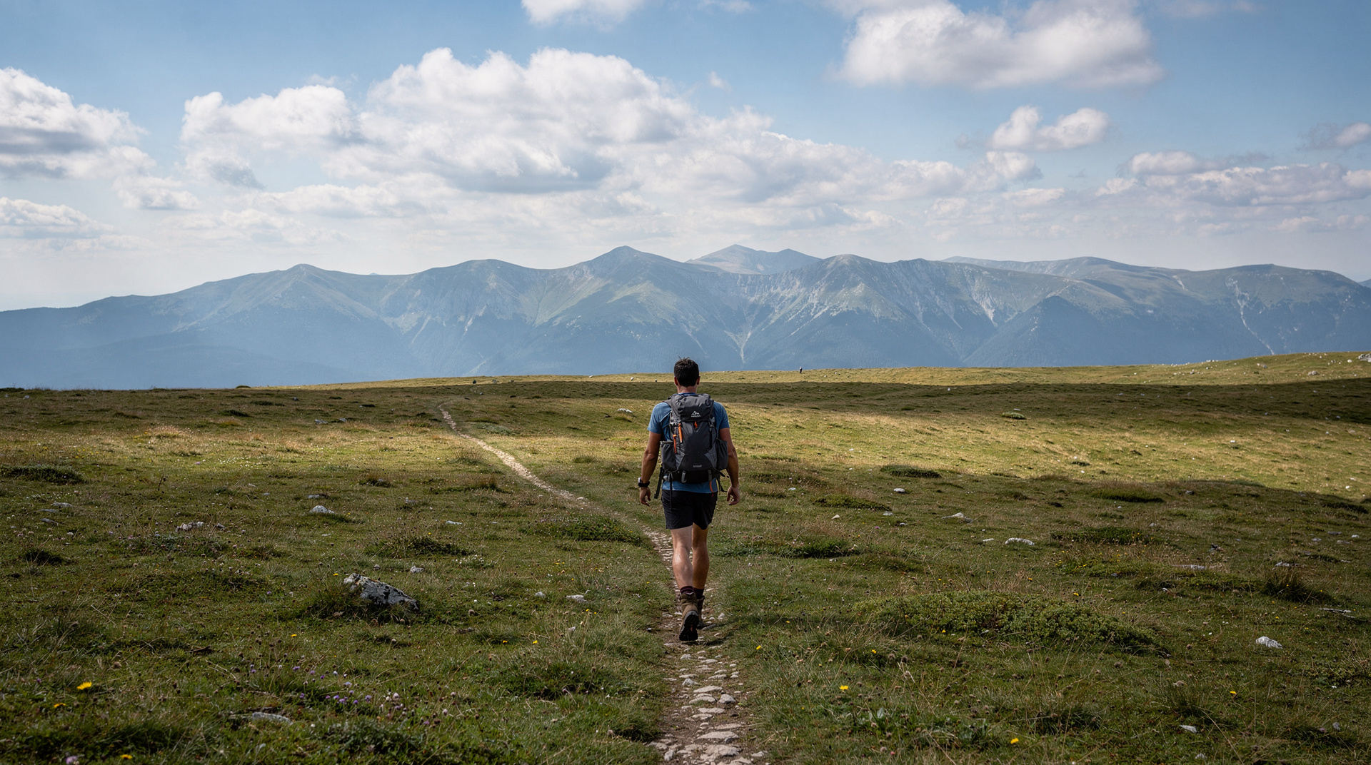
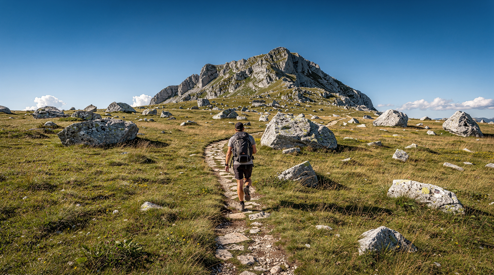
The Bjelašnica section is the most accessible and best-marked of the Bosnia Via Dinarica segments, making it ideal for first-time hikers on this route. The plateau terrain is open and rolling, offering long sightlines and relatively easy navigation. The section includes:
- Bjelašnica plateau summit area (2,067m)
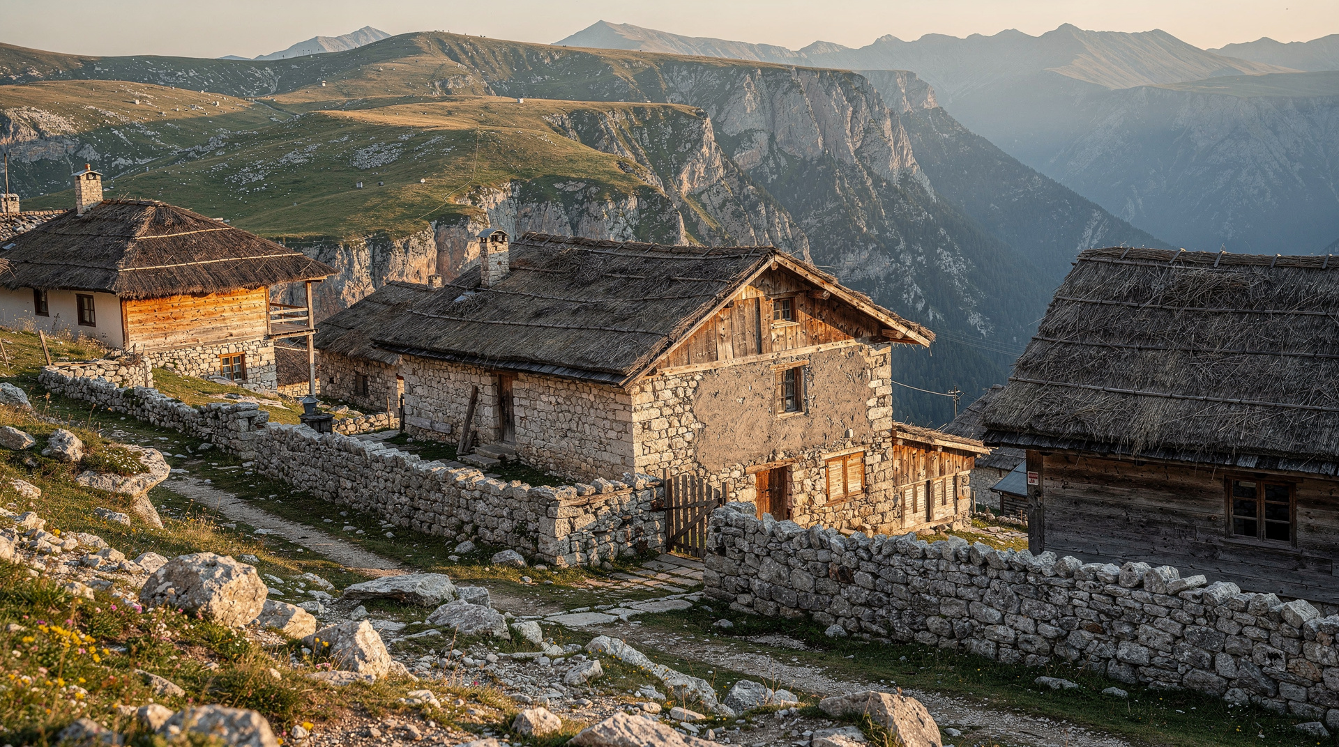
- Lukomir village — the Via Dinarica’s cultural highlight in Bosnia, an authentic highland village at 1,469m that the trail passes directly through
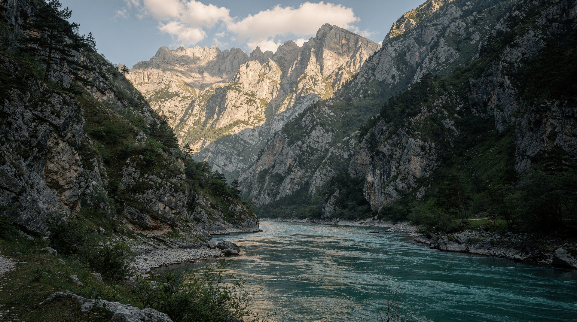
- Rakitnica canyon rim — dramatic views into the gorge
- Umoljani village — possible resupply and accommodation point
Guided day hike from Sarajevo to Lukomir covers the Via Dinarica’s most iconic Bosnia section as an accessible day trip.
Duration: 2-3 days for this section as part of the through-trail; 1 day for the Lukomir day-hike version from Sarajevo.
Section 3: Bjelimići plateau and Visočica
Between Bjelašnica and Zelengora, the trail crosses the less-visited Bjelimići plateau and Visočica mountain. This section rewards solitude — few trekkers make it this far and the villages you pass through rarely see foreign visitors. The landscape is gentler than Prenj but the remoteness is greater.
Trail marking is inconsistent here; GPS is essential.
Section 4: Zelengora
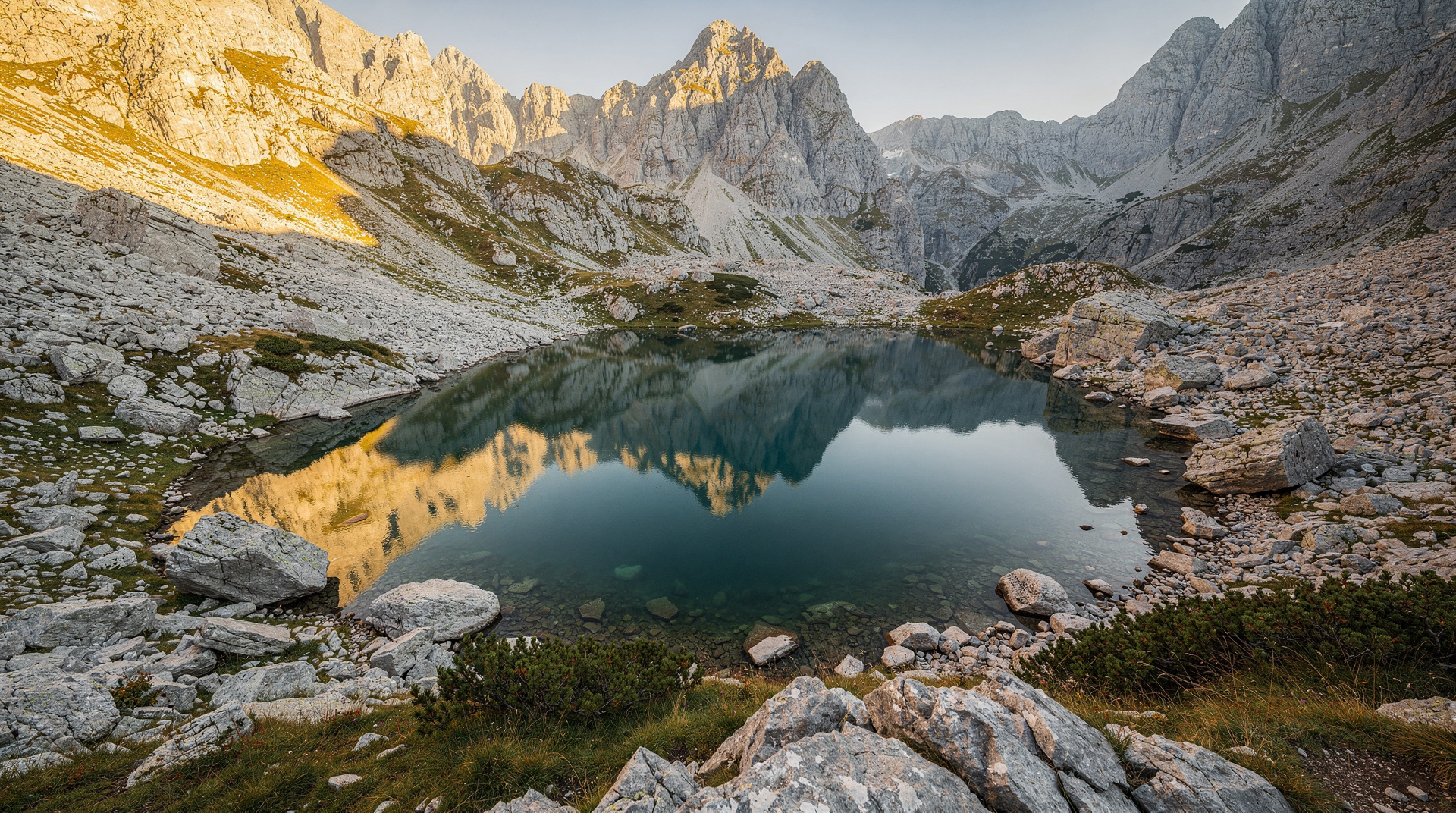
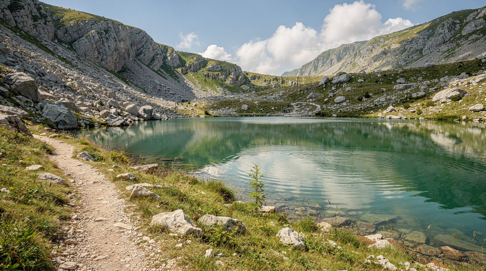
Zelengora is a long mountain massif in Sutjeska National Park with a chain of glacial lakes (Donje Bare, Gornje Bare, Orlovačko jezero) scattered across a high plateau above 1,600m. The Zelengora section offers the best lake-to-lake traverse in the country and some of the finest camp spots on the entire Via Dinarica.
See the Zelengora lakes guide for this section in detail.
Connection to Sutjeska and Maglić
The Via Dinarica’s Bosnia section concludes near Sutjeska National Park, where the trail connects with the routes to Maglić and Trnovačko Lake. The Maglić mountain climb guide and Trnovačko Lake guide cover the trail’s final Bosnian stages.
Section difficulty at a glance
| Section | Difficulty | Marking | Best for |
|---|---|---|---|
| Bjelašnica-Lukomir | Moderate | Well-marked | First-timers, day-hikers, families with hiking experience |
| Bjelimići-Visočica | Moderate-hard | Inconsistent, GPS needed | Experienced hikers seeking solitude |
| Zelengora | Moderate | Reasonably marked | Lake-lovers, multi-day campers |
| Prenj | Hard | Variable, exposed ridges | Experienced mountaineers only |
For those who prefer a shorter, well-supported introduction, our best day hikes from Sarajevo guide and the dedicated Bjelašnica hiking guide and Lukomir village hike guide cover the Bjelašnica-Lukomir section in more day-trip detail than this overview. For the broader picture of hiking in the country, see the hiking in Bosnia guide, and for a first-person account of walking a longer stretch, read the Via Dinarica thru-hike diary.
How to choose your section
Most visitors do not need the whole Bosnian route, and the trail was designed with that in mind. Think of the White Trail as a chain of separate trips that happen to connect. Pick the section that matches your experience, your available time and the season, then treat the rest as a reason to come back.
If this is your first mountain trip in the country, start on the Bjelašnica plateau. It is open, easy to read on the ground, and close enough to the capital that a plan B is never far away. Our Bjelašnica hiking guide explains the plateau in more detail, and the Lukomir village hike guide covers the walk to the highland village step by step. Anyone based in town can pair this with the best day trips from Sarajevo if the weather turns and a lower-altitude day makes more sense.
If you want lakes and camping, Zelengora is the natural second step, and it connects to the national park routes described in the Sutjeska National Park guide. If you want a summit, the Maglić mountain climb guide covers the highest ground near the end of the Bosnian route. For rugged ridge country and serious navigation, Prenj is the destination, but only once you have a few easier multi-day walks behind you.
What it feels like on the ground
Expect a very different experience from the huts-and-cable-cars culture of the Alps. Days are quiet. You may walk for hours without meeting another hiker, and the people you do meet are more likely to be shepherds, villagers or a small group of local mountaineers than other long-distance trekkers. That silence is the main attraction, but it also means help is not around the corner. Plan as if you are responsible for yourself from the first step to the last.
Villages are part of the rhythm. Arriving in a small highland settlement at the end of a long day, being offered coffee and something to eat, and sleeping under a roof is a highlight for many people. It is worth learning a few words of the local language and carrying small cash for homestays and supplies, since card terminals are rare in the mountains. For general money advice, see the Bosnia money and currency guide.
Getting to the trailheads
Public transport reaches the valley towns but rarely the trailheads themselves, so most section hikers combine a bus with a taxi or a pre-arranged transfer. The getting around Bosnia guide and the buses in Bosnia guide explain how the network works and where its limits are. If you prefer independence at the start and end of a section, the renting a car in Bosnia guide and the driving in Bosnia guide cover mountain roads and parking. Remember that a point-to-point hike leaves your car at the wrong end, so a one-way transfer is often cheaper in time and stress than a loop.
Konjic is the usual gateway for Prenj, and the Konjic day trip guide is useful for planning a night in town before or after the mountain. Visitors arriving from the coast can follow the Split to Sarajevo route or the Dubrovnik to Sarajevo route and break the journey on the way.
Packing and preparation
Good boots matter more than anything else, because the limestone is sharp and the trails are often loose and rocky. Bring layers for rapid weather changes, a proper rain shell, a headtorch, a first-aid kit, a paper map as backup to your phone and a power bank for the GPS tracks. Water filtration or purification tablets are wise wherever you rely on streams or lakes. A tent, sleeping bag and stove are essential for any section where huts are uncertain.
Download the official tracks and offline maps before leaving the city, since mobile coverage in the high country is patchy. Tell someone your intended route and expected finish. If you are doing a solo section, check in at each village where you have signal.
Food and resupply
Resupply points are few and far between, so buy staples in the last large town before the trail. Local bread, cheese and cured meats keep well and travel easily. If you want to understand what you are eating along the way, the Bosnian food guide and the burek and pita guide are good primers, and a post-hike meal in town is a fine reward. Those curious about the coffee ritual that greets you in many villages can read the Bosnian coffee culture guide.
Timing your trip
Snow can linger on the high ground well into the warm months, and some passes are simply not walkable outside the summer window. Check the seasonal guides before you commit: the best time to visit Bosnia page gives the wider picture, while the Bosnia in summer and Bosnia in autumn guides describe what the weather and light are like when most hikers are on the trail. Autumn rewards you with colour and quieter paths, but days are shorter and you must be more conservative with your daily distance.
Respecting the places you walk through
The villages on the route are working communities. Close gates behind you, keep dogs and livestock in mind, do not camp in someone’s pasture without asking, and take every scrap of rubbish out with you. Ask before photographing people. Spending money locally, whether on a homestay, a meal or a guide, is the most direct way to support the mountain economy the trail was created to help.
Combining the trail with the rest of your trip
A few days on the White Trail fit well into a longer journey. Pair it with the city sightseeing in our Sarajevo war tour guide or the Bosnia adventure itinerary, or fold a hike into the Bosnia 10-day itinerary. If you want more ideas on how to build a trip around the mountains, the Bosnia travel itinerary planning guide can help you decide how many days to give the trail and how many to leave for everything else.
Planning a Via Dinarica trip in Bosnia
Resources
- dinarica.org — official Via Dinarica website with downloadable GPX tracks and stage guides
- Bosnia Mountain Club (Planinarski savez BiH) — local federation with updated trail condition information
- Maps: 1:25,000 topographic maps for critical sections; the Prenj and Visočica sections particularly benefit from detailed maps
Accommodation on the trail
Accommodation options on the Via Dinarica in Bosnia range from:
- Mountain huts (planinarski domovi) — limited, book in advance; not available on all sections
- Village homestays (sobe) — increasingly available in villages along the route
- Wild camping — permitted in national parks in designated areas; elsewhere generally tolerated but check locally
- Tjentište base in Sutjeska National Park for the final section
Suggested section-hike itineraries
Three-day accessible option (Bjelašnica-Lukomir section):
- Day 1: Sarajevo to Bjelašnica trailhead, walk to Umoljani or camp on plateau
- Day 2: Cross plateau to Lukomir village (overnight homestay in village or nearby)
- Day 3: Continue south along canyon rim, return to road and Sarajevo
Seven-day Bjelašnica-to-Zelengora section:
- Days 1-2: Bjelašnica and Lukomir section
- Days 3-4: Bjelimići and Visočica traverse
- Days 5-7: Zelengora lakes traverse to Sutjeska National Park base
For the Prenj section, count on 3-4 days from the Konjic trailhead and arrange a Konjic pickup at the end.
Safety on the Via Dinarica in Bosnia
Landmine safety
The Via Dinarica route has been specifically routed to avoid known hazard areas, and the official GPS tracks reflect current BHMAC clearance data. However, landmine risk exists in Bosnia in off-trail areas — particularly in the Prenj massif which saw significant military activity.
Rule: Follow the official Via Dinarica GPS tracks exactly. Never shortcut across unmarked terrain between trail stages. If you lose the trail, backtrack on your GPS track rather than continuing overland.
See the landmine safety guide for detailed protocols.
Weather
Afternoon thunderstorms are the primary weather hazard in summer. The Via Dinarica traverses exposed limestone ridgelines where lightning is extremely dangerous. Start walking by 07:00 and aim to be off exposed ridges by 13:00 during thunderstorm season (June-August).
Water
Water sources on the limestone karst are scarce. Many sections have no reliable water for 5-8 hours of walking. Carry 3+ litres at the start of each day and resupply at every opportunity. The Zelengora lakes section has reliable lake water; the Bjelašnica and Prenj sections are drier.
Multi-day Sutjeska trekking expedition including Maglić provides guided access to the Via Dinarica’s most remote Bosnia sections with logistics handled.
The Via Dinarica as Bosnia’s best hiking story
For a country with Bosnia’s recent history, the Via Dinarica carries a significance beyond sport tourism. The trail passes through villages that were on front lines within living memory, through mountains that sheltered both fighters and refugees, and through forests and canyons that remain among Europe’s most pristine wilderness areas precisely because the war kept development away.
Hiking it is, among other things, a way of understanding how a landscape absorbs and outlasts even the worst of what humans inflict on each other.
Frequently asked questions about Via Dinarica White Trail Bosnia
How long does it take to hike the Via Dinarica through Bosnia?
Is the Via Dinarica in Bosnia marked?
Are there huts along the Via Dinarica in Bosnia?
What fitness level is needed for the Via Dinarica?
Is the Via Dinarica safe from landmines?
Can I hike the Via Dinarica alone?
Which Via Dinarica section in Bosnia is best for a first-timer?
Do I need special permits to hike the Via Dinarica in Bosnia?
Top experiences
Bookable activities with verified prices and instant confirmation on GetYourGuide.