Best day hikes from Sarajevo guide
From Sarajevo: Lukomir Village Hiking Tour with Guide
What are the best day hikes near Sarajevo?
The best day hikes from Sarajevo include Lukomir village via Bjelašnica plateau (best overall, full day), Trebević mountain via cable car (easy, 2-3 hours), Igman forest trails (moderate, half-day), Vrelo Bosne nature park (flat, family-friendly, 2 hours) and the Trebević bobsled track loop (easy, 2h).
Sarajevo sits in a mountain bowl at approximately 500m elevation, ringed on all sides by hills and peaks that are significantly closer than most city visitors realise. The city’s mountain backdrop is not decoration — it is a genuine and accessible hiking resource that rewards anyone willing to invest a day or half-day in getting above the city.
| At a glance | |
|---|---|
| Closest hike | Trebević, 8 minutes by cable car from the old town |
| Cost | Cable car: prices on zicara.ba; guided Lukomir day hikes typically 60-90 BAM |
| Time needed | 1.5 hours (Vrelo Bosne) to a full 9-10 hour day (Lukomir) |
| Getting there | Tram (Vrelo Bosne only), taxi, car rental or a guided tour |
| Best time | June-October for the high mountain trails; Trebević and Vrelo Bosne work year-round |
The Sarajevo hiking landscape
Four mountain areas provide Sarajevo’s hiking options:
Trebević (1,627m) — directly above the old town, accessible by cable car in 8 minutes. The most accessible mountain from the city centre.
Igman (1,502m) — northwest of the city, 25 km via Ilidža. Dense forest, 1984 Olympic ski jumping venue, accessible by road.
Bjelašnica (2,067m) — south of the city, 40 km. The highest mountain accessible from Sarajevo, with the Lukomir plateau and highland village. Full-day commitment.
Trebevac forest / Eastern hills — lower slopes east of the city with shorter loop trails, best for early morning or evening walks.
The eight best hikes
1. Lukomir via Bjelašnica plateau (Best overall)
Distance: 14 km round trip from trailhead Elevation gain: 400m (plateau approach) + 200m to village Duration: 9-10 hours door-to-door from Sarajevo Difficulty: Moderate Season: June-October
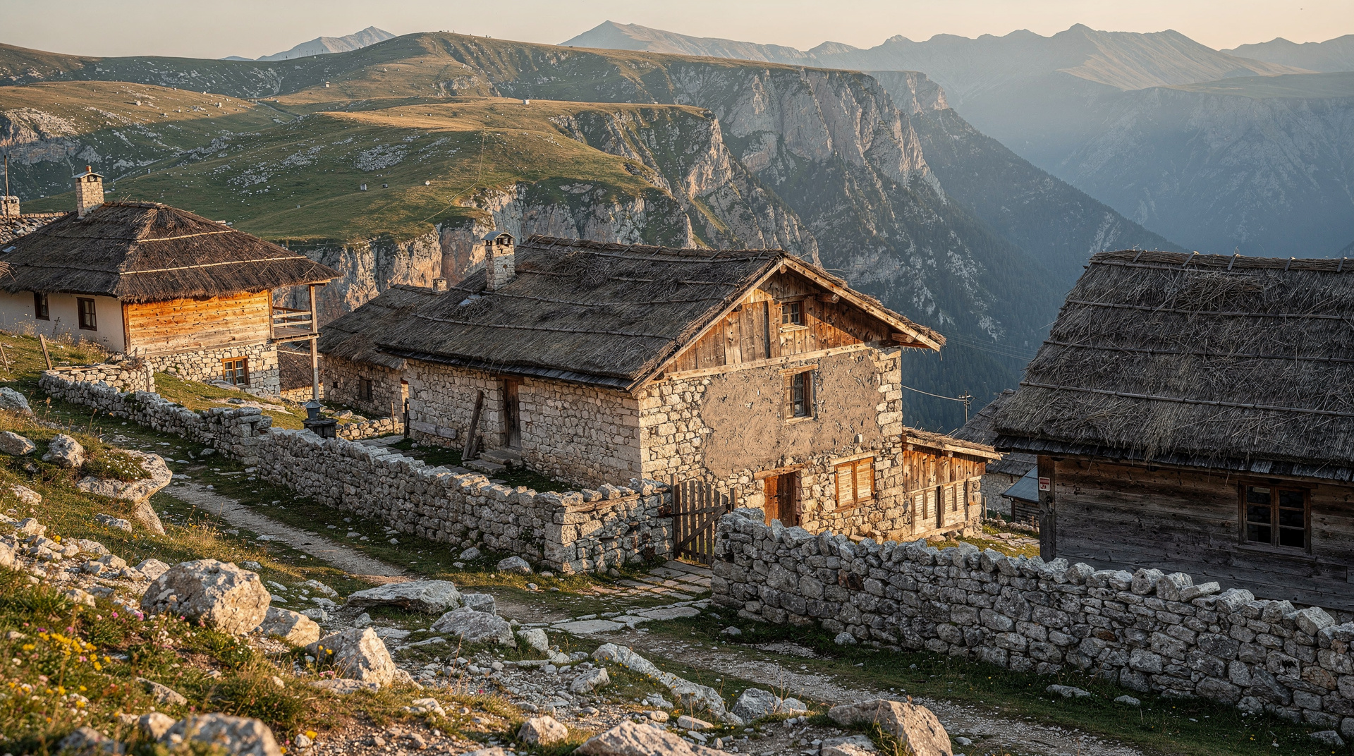
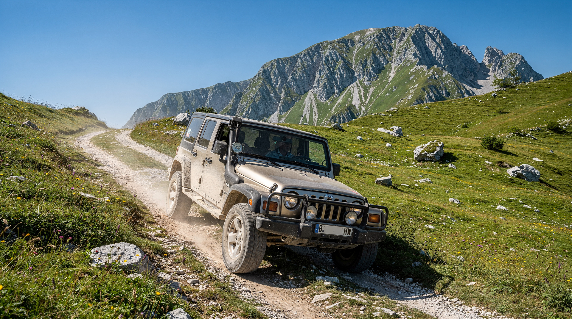
The Lukomir hike is the definitive Sarajevo day hike — a crossing of the Bjelašnica plateau through wildflower meadows to Bosnia’s last traditional highland village at the rim of the 800m Rakitnica canyon. No other day trip from Sarajevo combines natural scenery, cultural heritage and physical reward in quite the same way.
Book a full-day guided hike to Lukomir from Sarajevo for the easiest logistics.
Full details in the Lukomir village hike guide.
2. Trebević mountain — cable car route
Distance: 4-6 km loop Elevation gain: 650m (cable car handles it; hiking descent is optional) Duration: 2-3 hours hiking; 30 minutes on the cable car Difficulty: Easy Season: Year-round (cable car may close in high wind)
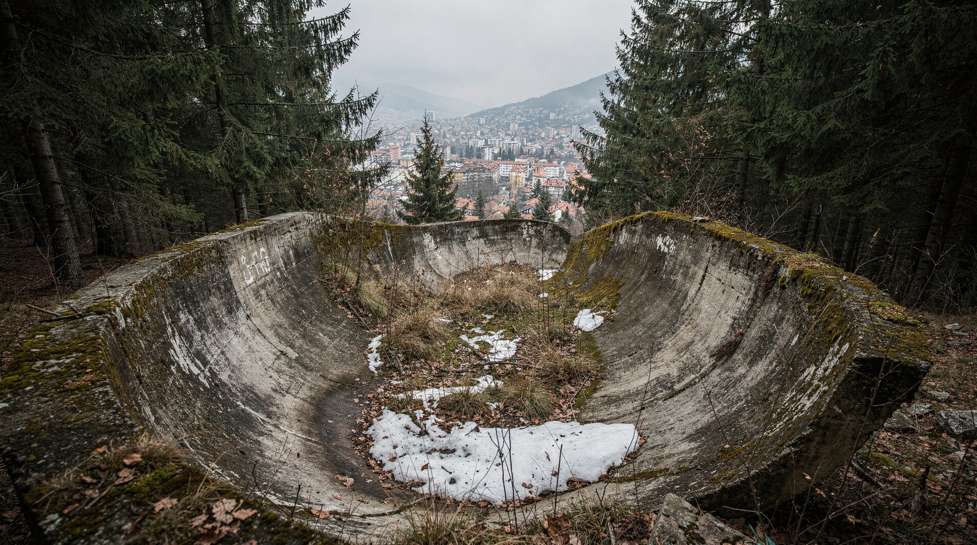
The Trebević cable car from Bistrik neighbourhood takes 8 minutes to reach the summit plateau. From the top, several loop trails explore the mountain, including the eerie 1984 Olympic bobsled track — a stretch of decaying concrete course now covered in graffiti art.
Cable car: current prices are on the official website, zicara.ba. Hours vary by season and the cable car is closed on some weekdays — check zicara.ba before you go.
Walking descent to the city (via Colina Kapa path) takes approximately 1.5 hours and provides excellent city views throughout.
If you would rather have the ride up and the context handled for you, an old town and fortress tour that ends with a cable car ride combines the city and the mountain in one outing. You can then stay on the plateau and walk the trails yourself. More on the mountain itself is in the Trebević mountain guide.
3. Trebević bobsled track loop
Distance: 3-4 km Elevation gain: Negligible (lateral route) Duration: 1.5-2 hours Difficulty: Very easy Season: Year-round
From the cable car summit, follow the marked path to the 1984 Olympic bobsled and luge track. Walking along a section of the curve-by-curve concrete structure — its walls now covered in commissioned graffiti art — is one of Sarajevo’s most powerful experiential visits. The track represents the 8-year gap between Olympic glory (1984) and the start of the siege (1992) in physical form.
For the full Olympic legacy story, see the Sarajevo 1984 Winter Olympics guide.
4. Bjelašnica plateau trail (without Lukomir)
Distance: 8-10 km round trip from the resort area Elevation gain: 200-400m depending on route Duration: 3-4 hours Difficulty: Easy-moderate Season: June-October
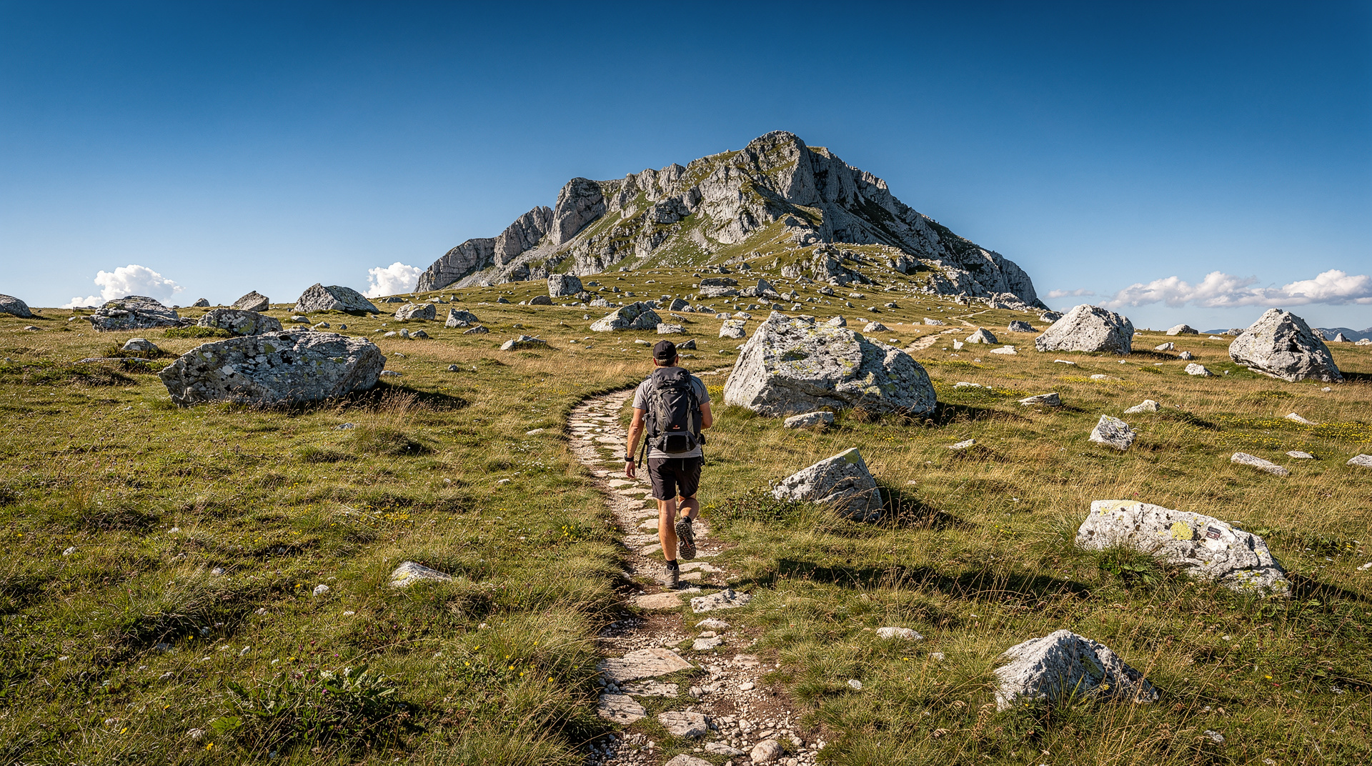
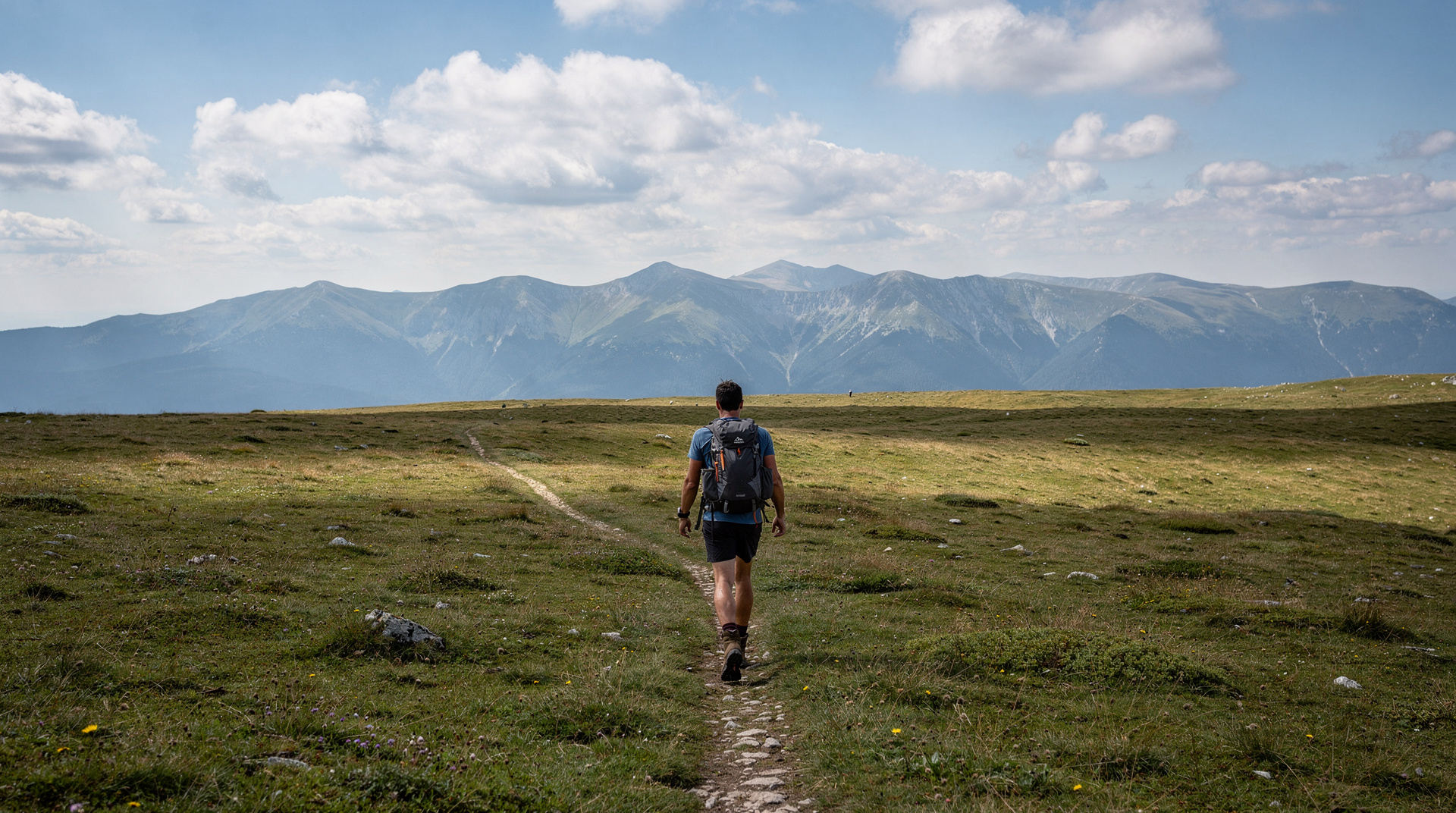
The Bjelašnica plateau offers open, easy walking above the treeline at 1,500-2,000m. Views extend in all directions on clear days. This is a good option for those who want mountain scenery without the full Lukomir commitment, or for an afternoon walk after a morning in the city.
The plateau is also the approach for the Bjelašnica hiking guide routes.
5. Igman forest and Olympic venues
Distance: 5-8 km depending on route Elevation gain: 300-500m Duration: 3-4 hours Difficulty: Easy-moderate Season: April-November
Igman mountain northwest of Sarajevo carries the ruins of the 1984 Olympic ski jumping complex — now partially reclaimed by the forest, with concrete platforms and support towers standing in the trees like a surrealist sculpture park. The forest walking itself is pleasant; the Olympic ruins add historical interest.
Access from Sarajevo: 25 km via the Ilidža area (approximately 30 minutes by car).
6. Vrelo Bosne nature park (family-friendly)
Distance: 3-5 km Elevation gain: Negligible Duration: 1.5-2 hours Difficulty: Very easy Season: Year-round
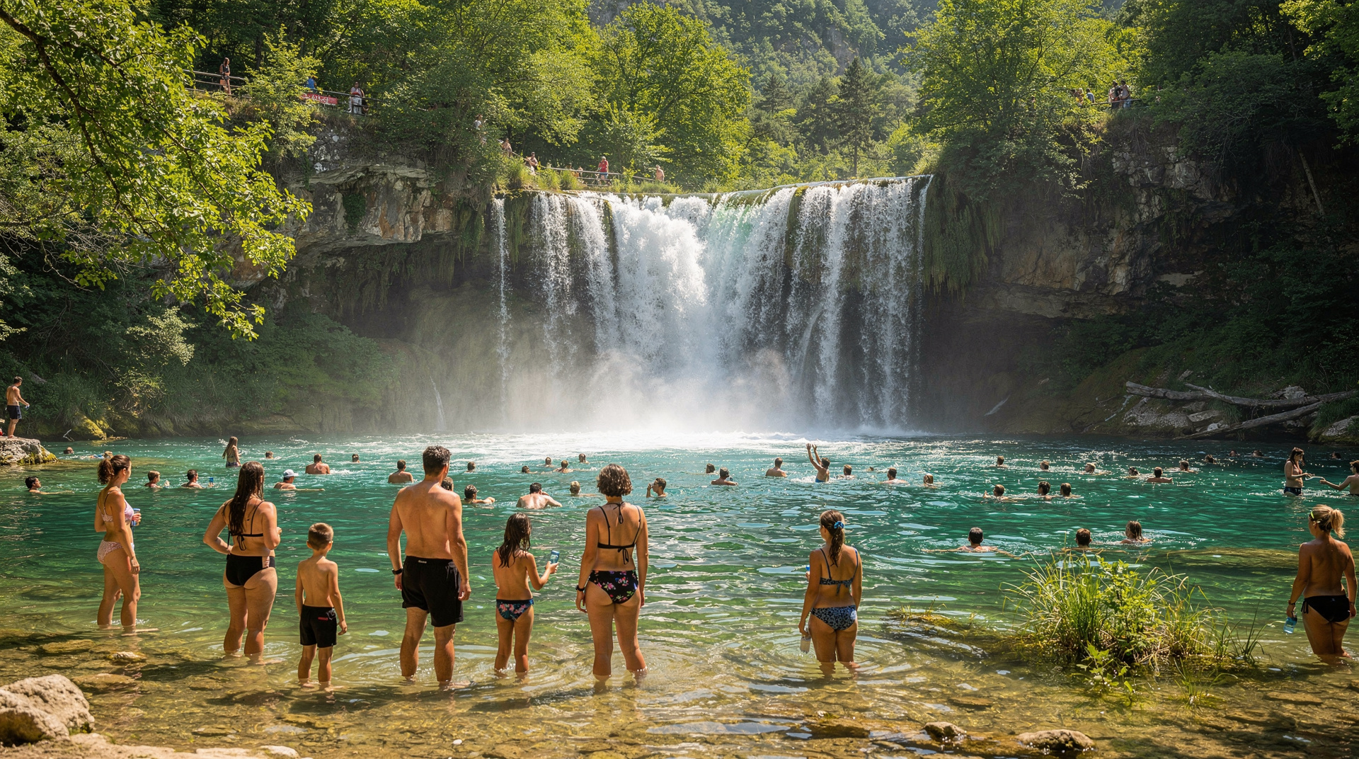
The Vrelo Bosne (Bosna spring) nature park sits at Ilidža, 12 km west of Sarajevo city centre. The park surrounds the spring source of the Bosna River, with plane-tree allées, waterwheels, willows and crystal-clear streams. This is entirely flat walking — ideal for families with young children, those recovering from illness, or anyone who wants a pleasant natural setting without effort.
Accessible by tram from Sarajevo centre (Line 3 to Ilidža terminus) — one of the few Sarajevo hikes reachable without a car.
Visitors who prefer a guide to explain the park can book a private nature park tour of the spring and its surroundings. For route detail and the park’s background, see the Vrelo Bosne guide and the Ilidža and Vrelo Bosne destination page.
7. Eastern hills loop (Bistrik / Sedreniku area)
Distance: 4-6 km Elevation gain: 200-300m Duration: 1.5-2.5 hours Difficulty: Easy Season: Year-round
The eastern residential hills above Baščaršija provide excellent short walking with views over the whole Sarajevo valley. The Žuta Tabija (Yellow Fortress) viewpoint is the main destination — a 15th-century fortification with arguably the best sunset view in the city. From here, various paths loop through the old Muslim cemetery and residential streets back to the old town.
8. Tito’s Bunker day trip (not a hike but drive-and-walk)
Distance: 1-2 km at the bunker site Duration: 3-4 hours total (drive + tour) Difficulty: Easy
Not a mountain hike but worth including: the ARK D-0 bunker at Konjic (55 km from Sarajevo) involves a short but interesting walk through an underground tunnel complex. This makes an excellent afternoon addition after a morning Trebević or Igman walk, turning a half-day into a full day.
See the Konjic day trip guide for combining it with Neretva rafting.
How to combine hikes with the rest of your stay
The easiest way to fit walking into a Sarajevo trip is to treat the mountains as a counterweight to the city’s heavier sights. A morning at the War Childhood Museum or on the Sarajevo war tour is emotionally demanding, and an afternoon on the Trebević plateau gives you space to process it. The bobsled track in particular sits at the point where the city’s Olympic memory and its wartime memory meet, so it works well as a quiet follow-up to those visits.
Lighter days pair naturally with food. After Vrelo Bosne or the eastern hills loop, you can head straight back to the old town for cevapi in Sarajevo or a long coffee in Baščaršija, which is exactly how many locals spend a weekend. Our Sarajevo 4-day deep dive shows one way to slot a mountain day between museum days without rushing either.
If you are building a longer trip across the country, one of these hikes also makes a sensible warm-up before the bigger objectives described in the hiking in Bosnia guide. Walking the Bjelašnica plateau or the Igman forest first tells you quickly how your boots, your pace and your knees behave on Bosnian terrain, before you commit to something remote.
Choosing by weather and light
Mountain weather around Sarajevo changes faster than the view from the old town suggests. A bright morning in the valley can still mean cloud, wind or a sharp drop in temperature on the Bjelašnica plateau, so check the forecast for the mountain rather than the city, and pack a layer even on a warm day. Trebević and Igman are more forgiving, because the forest gives shelter and you are never far from a road or the cable car.
Light matters as much as temperature. Early starts pay off on every route: the paths are quieter, the air is cooler in summer and the city looks its best when low sun picks out the minarets and red roofs. For the eastern hills and the Yellow Fortress viewpoint, late afternoon is the favourite choice, since you can watch the valley fade into evening and walk down while there is still daylight. Do not plan to descend any forest or hillside path in the dark.
Autumn deserves a mention. The beech and mixed woodland on Igman and Trebević changes colour well, and the lower trails stay pleasant long after the high plateau has become risky. Our Bosnia in autumn guide explains what to expect across the country at that time of year, and the Bosnia in summer guide covers how to handle the heat on exposed trails.
What to bring and how to behave on the trail
Pack for the highest point you will reach, not the starting point. Water, a waterproof layer, sun protection and a charged phone are the basics, and a small snack makes a long viewpoint stop far more enjoyable. Carry some cash for the cable car, cafés and small village stops, since not every place accepts cards; the Bosnia money and currency guide explains how the local currency works in practice.
On the trail itself, keep to the marked path, close any gate you open and take your rubbish back down with you. In the villages and on farmland, greet people you meet and ask before photographing them or their animals. Shepherds’ dogs on the high plateau can be protective of their flocks, so give flocks a wide berth and stay calm rather than approaching. Detailed advice on staying safe off the beaten track is in the landmine safety guide, which is worth reading before any walk beyond the routes described here.
Logistical tips for Sarajevo hiking
By tram: Vrelo Bosne (Line 3 to Ilidža) is the only major hike fully accessible by public transport.
By taxi/rideshare: Trebević cable car (Bistrik stop) is a short taxi from the old town. Igman requires a taxi to the mountain access road.
By car rental: Essential for Bjelašnica, Lukomir and anything more than 15 km from the centre.
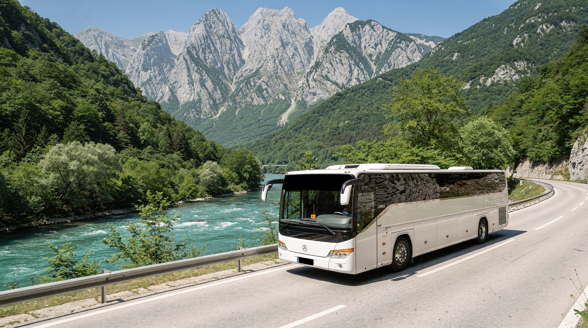
Guided tours: The most reliable option for Lukomir and Bjelašnica. Transport, guide and safety handled.
If you have not yet decided between a taxi, a rental car or the bus network, the Sarajevo public transport guide and the renting a car in Bosnia guide cover the practical trade-offs. Agree the return arrangement before you set off for any trailhead that has no regular service, because finding a ride back from a mountain road in the evening can be difficult.
Season summary
| Trail | Best season | Avoid |
|---|---|---|
| Lukomir | June-September | October+ (snow risk) |
| Trebević cable car | Year-round | High wind days |
| Bjelašnica plateau | June-October | Before June (snow) |
| Igman | April-November | Winter (snow) |
| Vrelo Bosne | Year-round | — |
Safety note
All trails in this guide are marked and regularly used. The one universal rule for hiking anywhere near Sarajevo and its surrounding mountains: stay on marked trails. The surrounding region saw intense fighting in the 1990s and some off-trail areas retain unexploded ordnance hazards. This applies particularly to less-trodden slopes of Igman and Trebević above the treeline. The marked paths are safe; unknown terrain is not.
Sarajevo’s mountains are among the most underused visitor assets in European city tourism. Most visitors spend their entire Sarajevo time in the valley — and miss the perspective that the city’s mountain setting is what makes it, literally, extraordinary.
Choosing a hike for your itinerary
If you only have time for one hike, the choice depends on what you want from it. For pure scenery and cultural payoff, Lukomir wins outright — see the full Lukomir village hike guide for route detail. For something that fits into a half-day without a car, Trebević via the cable car is unbeatable. For families or anyone short on time or fitness, Vrelo Bosne is the easy, reliable choice.
Travellers planning a longer Sarajevo stay often pair one of these hikes with the best day trips from Sarajevo guide, which covers non-hiking options like Mostar or Konjic for the days in between. For deeper coverage of the Bjelašnica massif beyond the Lukomir crossing, the dedicated Bjelašnica hiking guide lists additional routes and winter skiing information, since the same slopes double as Jahorina vs Bjelašnica ski terrain in winter.
Frequently asked questions about Best day hikes from Sarajevo
Can I hike directly from Sarajevo city centre?
What is the Trebević cable car and can I hike from it?
How long does the Lukomir day hike take from Sarajevo?
Are the hiking trails near Sarajevo safe?
What hiking gear do I need for day hikes near Sarajevo?
Top experiences
Bookable activities with verified prices and instant confirmation on GetYourGuide.