Lukomir village hike guide
From Sarajevo: Lukomir Village Hiking Tour with Guide
How do I hike to Lukomir village from Sarajevo?
Take a guided day trip from Sarajevo (45-minute drive to Bjelašnica plateau, then 4-5 hours hiking round trip across the plateau to Lukomir village at 1,469m). The hike crosses wildflower meadows and reaches a dramatic canyon rim before descending to the stone village. No special equipment needed beyond hiking boots.
Lukomir is Bosnia’s most extraordinary village — the country’s last traditional highland settlement, perched at 1,469 metres on the edge of one of the Balkans’ deepest canyons. The hike to reach it crosses an ancient plateau where wildflowers grow between limestone rocks and the silence is broken only by the wind and occasional shepherd bells. No other day trip from Sarajevo comes close to matching this combination of dramatic nature and living cultural heritage.
At a glance
| Where | Bjelašnica plateau, roughly 45km / 45 minutes from Sarajevo |
| Cost | Guided full-day hike typically 60-90 BAM; hike itself is free (no entry fee) |
| Time needed | 4-5 hours moving time, 9-10 hours door-to-door from Sarajevo |
| Getting there | Guided tour (easiest) or self-drive to Bjelašnica trailhead, then on foot |
| Best time | June-September; village inhabited only April-October |
Why Lukomir is unlike anywhere else
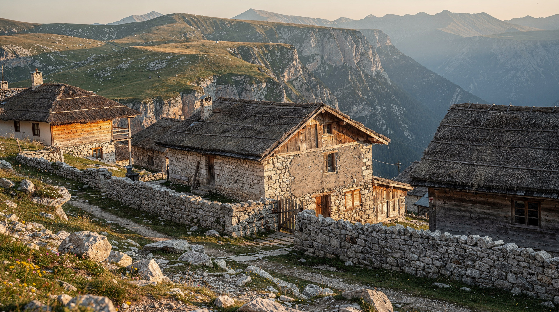
The village occupies a position that seems almost deliberately dramatic: stone houses and narrow lanes clustered at the very lip of the Rakitnica canyon, which drops 800 metres into darkness below. On a clear day the views from the canyon rim — which forms the village’s southern edge — extend across ranges of mountains into Montenegro.
What makes Lukomir exceptional is not just the scenery but the continuity. The Mirić and Likić families have inhabited this plateau for generations. The stone houses are the same design used for centuries. Some village women still wear traditional hand-woven clothing — the šamija (head covering) and dimije (gathered trousers) — not as a tourist performance but as daily dress. The village mosque dates to the Ottoman period.
Lukomir is inhabited only in the warm months (April-October). When the first heavy snowfall comes, the families descend to Umoljani and other villages at lower elevation, leaving the plateau empty until spring. This seasonal rhythm has continued for as long as anyone can remember.
Reading the landscape before you go
It helps to understand where you are heading. The village belongs to the wider Lukomir destination page, and the plateau you cross is part of the mountain country described in the Bjelašnica and Igman destination guide. Both are worth skimming before you commit to a date, because the character of the walk changes a great deal with the season, the light and the weather on the day.
If you prefer a personal account to a practical guide, the Lukomir, the last highland village blog post tells the story of a visit from the walker’s side, with the small moments that no route description captures. For Sarajevo as a base, the Sarajevo destination page shows how easily the mountains sit alongside the city, which is exactly why this hike works as a single day out.
The hiking route
Getting to the trailhead
The hike starts from the Bjelašnica ski resort area or from the Umoljani village — both reachable by car from Sarajevo in 40-45 minutes. Most guided tours from Sarajevo drive to the trailhead.
By car: From Sarajevo, take the road toward Hadžići then follow signs for Bjelašnica ski resort. From the resort area, a marked trail leads across the plateau toward Lukomir. GPS coordinates for the main trailhead are widely available online and on the Via Dinarica app.
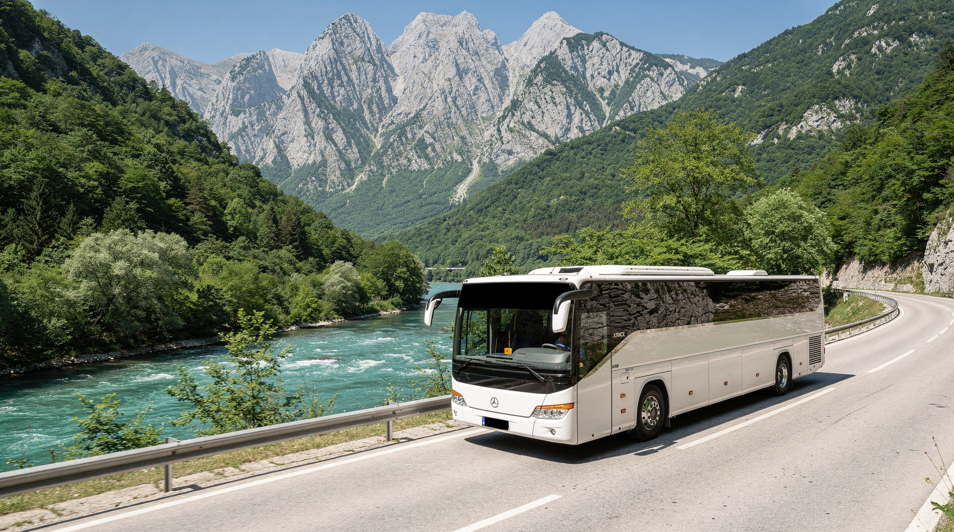
By guided tour: The easiest approach — transport is included and the guide handles all navigation.
The plateau section (2-2.5 hours)
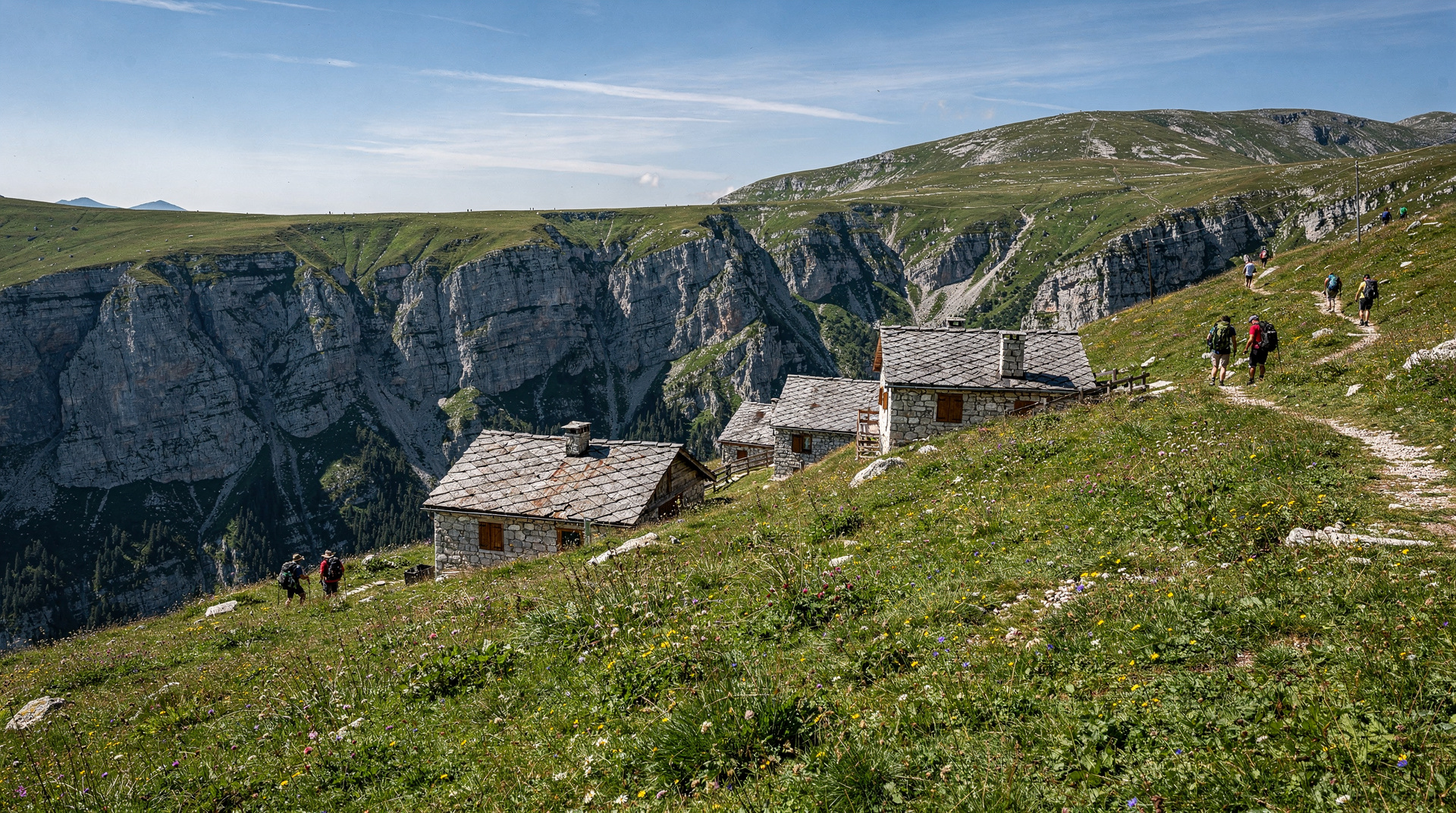
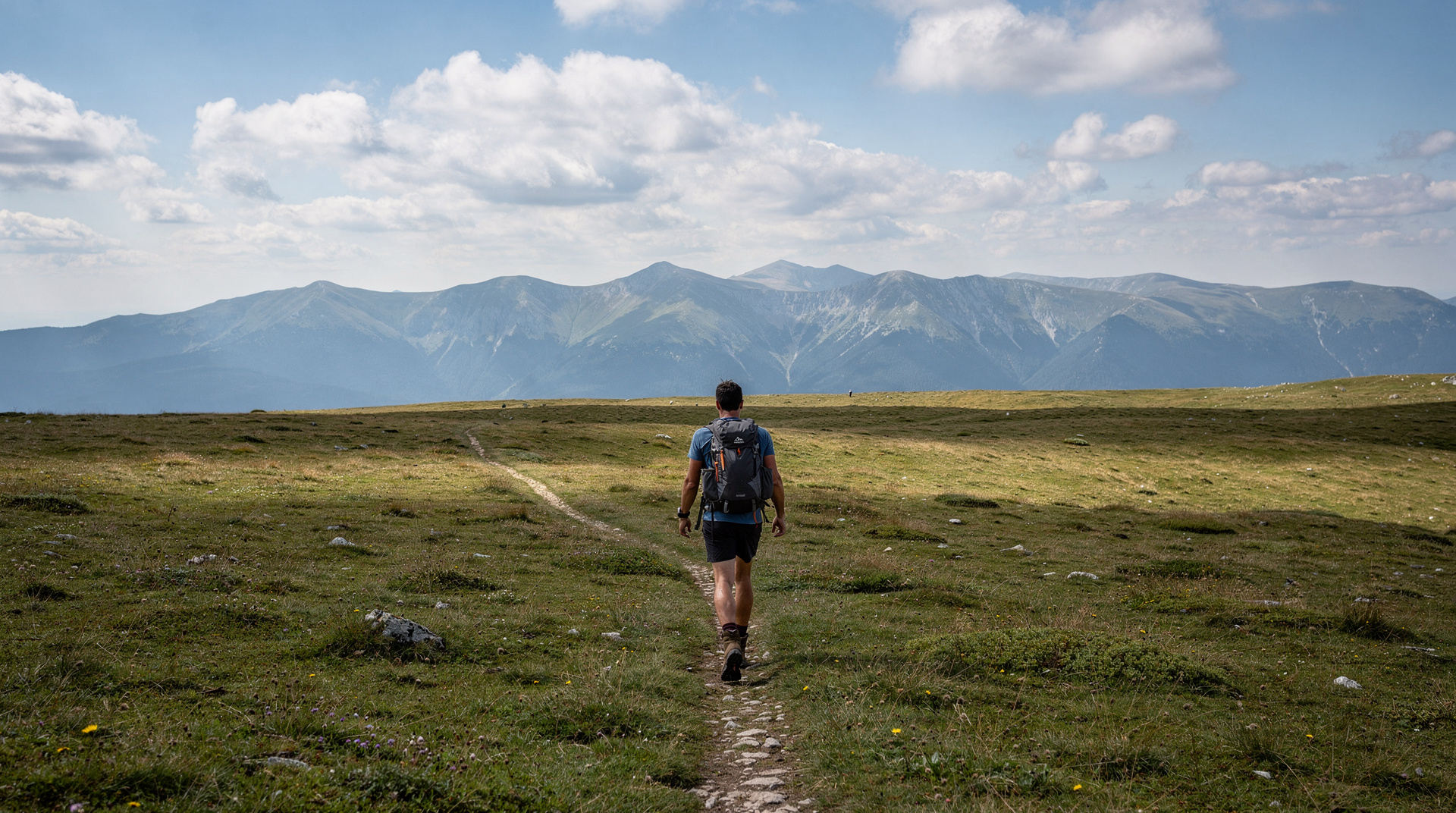
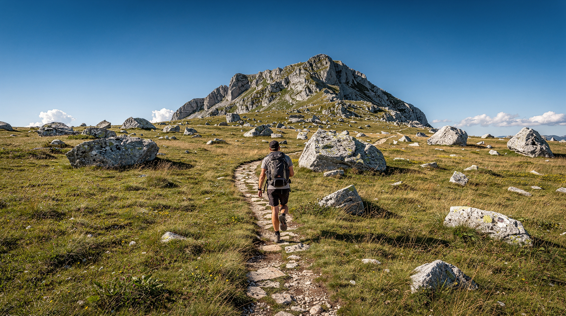
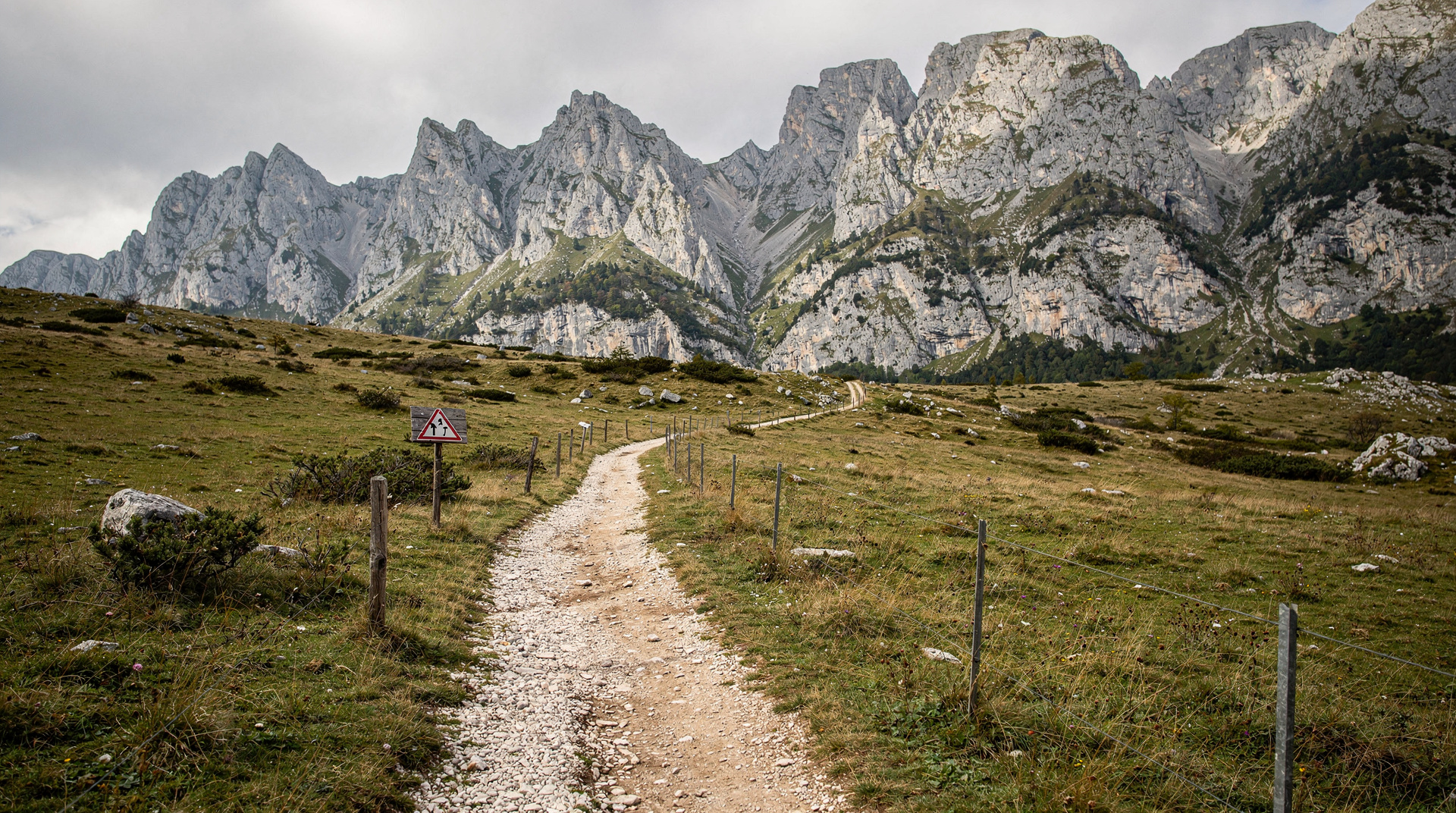
The trail from the trailhead to the canyon rim is a gentle walk across the Bjelašnica plateau at approximately 1,500-1,600m elevation. The terrain is open limestone karst, covered in short grass and wildflowers from June to August. In early summer, the plateau is carpeted in crocuses, gentians and mountain grasses; by August the colours deepen and dry.
The plateau section feels genuinely remote — on a weekday in early June you may see no one for hours. The scale of the landscape is Tolkienian in quality: rolling hills dropping to forested valleys on all sides, no buildings in view beyond the distant ski-lift towers of Bjelašnica.
The canyon rim and descent to Lukomir (30-45 minutes)
As you approach Lukomir, the plateau ends abruptly at the Rakitnica canyon rim. The first view of the canyon is one of the great reveals in Bosnian hiking — the ground simply drops away into an 800-metre void. On clear days, tiny threads of river are visible far below.
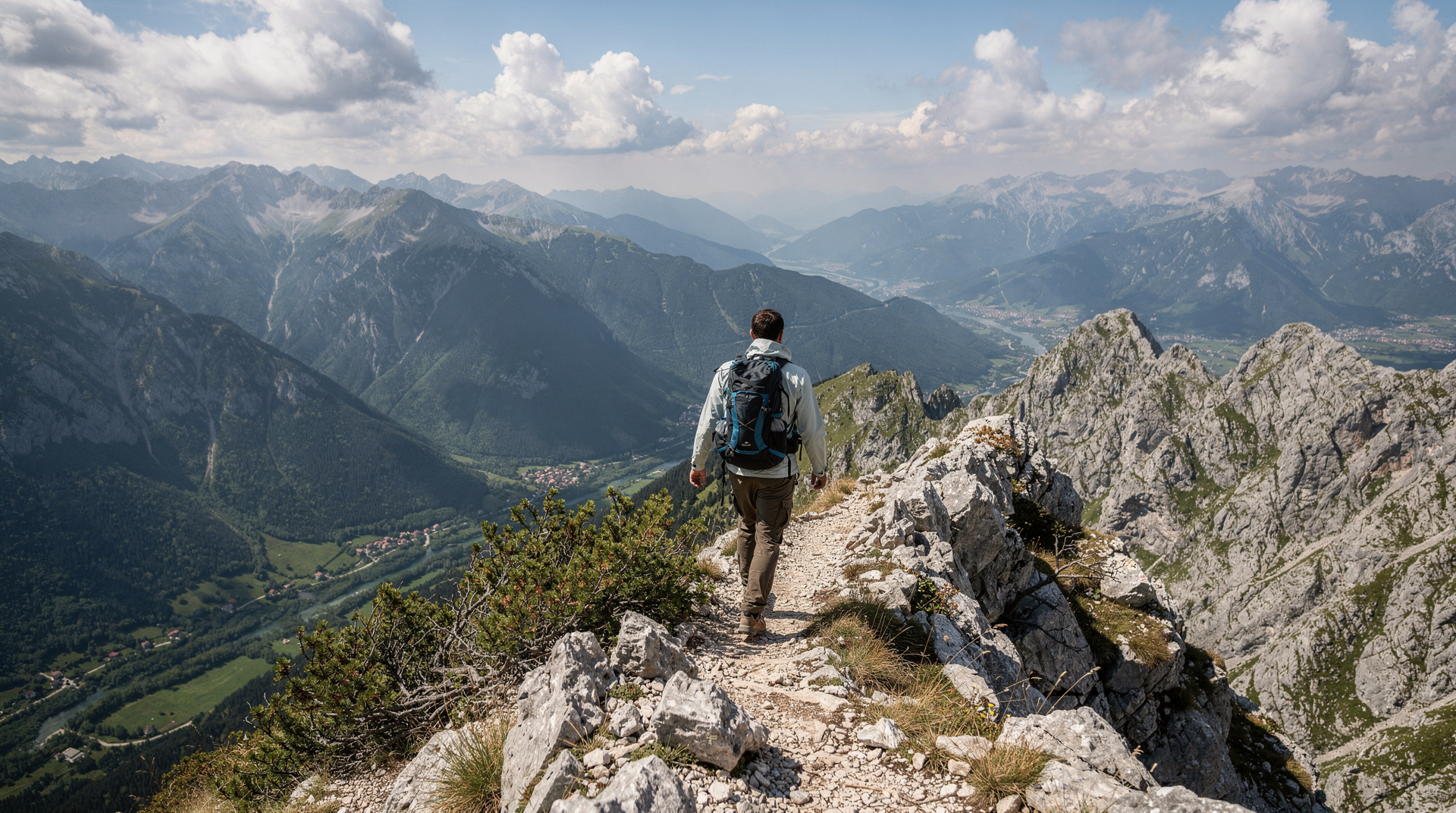
The descent to the village itself is steep and rocky — the most physically demanding section of the hike. Take your time and use trekking poles if you have them. The path is clear and well-worn.
Lukomir village (1-2 hours)
Allow an hour minimum in the village. Walk the stone lanes, visit the small mosque if the door is open, and stop at the canyon viewpoint for photographs. Several households offer tea, mountain cheese and sometimes homemade šljivovica (plum brandy) to visitors — a contribution of 5-10 BAM is appreciated.
The village store (if open) sells locally produced items; demand tends to outstrip supply for the village’s homemade woolwork and textiles.
The return (2-2.5 hours)
Return by the same route — uphill from the village to the plateau rim is the main exertion, then a flat walk back to the car park.
Total: 4-5 hours moving time; 5-6 hours with Lukomir stop.
Pacing the day
The most common mistake is treating the plateau as a warm-up and arriving at the canyon rim tired. The walk out is gentle, so it is tempting to hurry, but the climb back from the village is where the day is won or lost. Start steadily, drink early rather than when thirsty, and keep a little energy in reserve for the return. Photographs, a break at the rim and time in the village are part of the experience, not a delay, so plan the day around them instead of trying to squeeze them in.
Weather matters more than the calendar suggests. The plateau is open and exposed, so a clear morning can turn into a cold, windy afternoon. If the sky darkens, shorten your stop rather than push on, and keep the waterproof layer at the top of your bag. A guide will read these changes for you; on your own, be willing to turn round.
What the village asks of visitors
Lukomir is a home, not an attraction. Greet people, ask before photographing anyone, and keep to the lanes. The tea and cheese offered by some households are hospitality, so accept them with thanks and leave the contribution mentioned above. Buying something small from the village, when it is available, does more good than any amount of admiration. Carry out all your rubbish: there is nowhere to leave it up here, and the plateau stays beautiful only because visitors take their waste back down.
Guided tours from Sarajevo
Full-day guided hike to Lukomir from Sarajevo is the most popular option — includes transport, an experienced guide, and returns to Sarajevo by early evening.
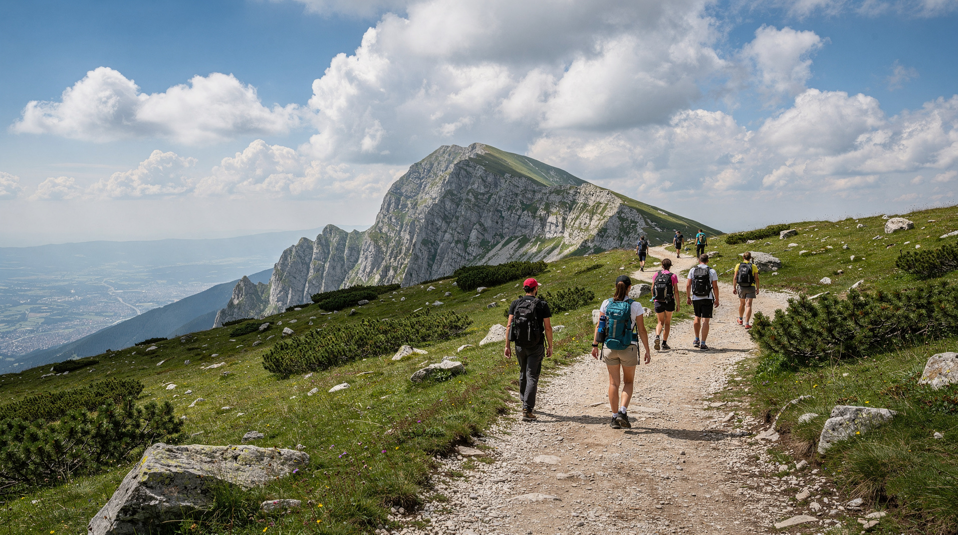
Small-group hiking tour to Lukomir runs in groups of 6-12 with an experienced local mountain guide.
For the solitary walker or specific group requests, private guide arrangements are available through Sarajevo tourism offices.
Alternative: reaching Lukomir by 4x4 or quad
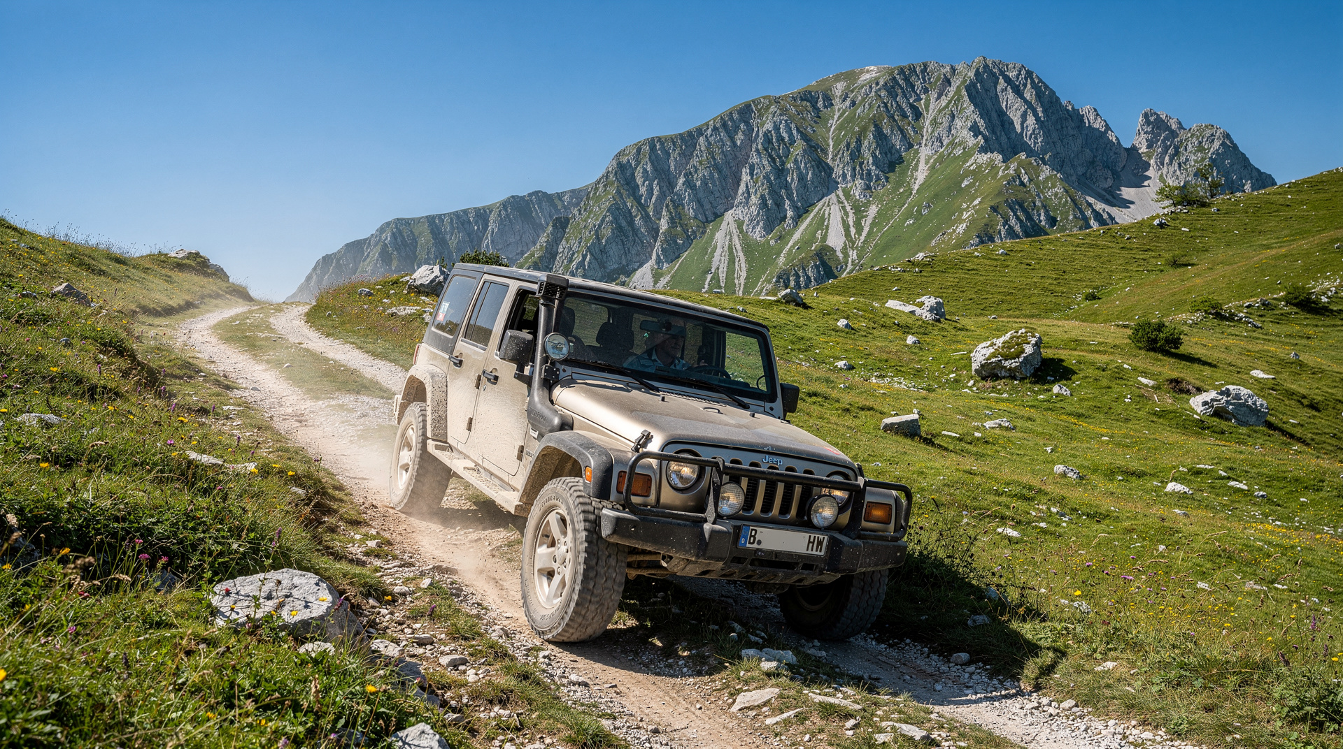
The 4x4 track from the Bjelašnica road is a shorter but bumpier approach. In dry summer conditions it is accessible to high-clearance vehicles; a standard rental car cannot make the final track section. This approach is popular for visitors who want to see the village but cannot manage the full hike.
See the 4x4 and quad tours Bosnia guide for organised tours that include Lukomir by vehicle.
What to bring
- Hiking boots (the terrain is rocky — trainers will slip)
- 1.5-2 litres of water per person (no reliable water source on the plateau)
- Lunch or snacks (no cafés on the trail)
- Warm layer and waterproof jacket (the plateau is exposed; conditions change fast)
- Sunscreen and sunglasses (high UV at altitude)
- Camera or fully charged phone
- Small cash amount in BAM for the village
- Downloaded GPS track as backup
Practical season guide
| Period | Conditions | Notes |
|---|---|---|
| April-May | Often snowy | Check trail conditions before departing |
| June | Clearing; flowers | Excellent; book tours early as demand builds |
| July-August | Ideal weather | Peak season; guided tours can fill quickly |
| September | Perfect light | Possibly the best month for photography |
| October | Cooling | Village may be closing for winter; confirm in advance |
| November-March | Deep snow | Village uninhabited; plateau inaccessible |
Landmine safety
The Bjelašnica plateau and Lukomir trail network lie within an area that was a front line during the 1992-1995 war. The marked trail from the Bjelašnica car park to Lukomir is confirmed safe and regularly used. Do not deviate from the marked path at any point — particularly on the canyon rim and in the areas to the east of the village where old military positions existed.
Your guide will brief you on specific areas to avoid. See the landmine safety in Bosnia guide for the full picture.
Is the hike hard, and who should do it
The plateau section is genuinely easy — flat, well-marked, and manageable for anyone with average fitness. The steep descent to the village and the equivalent climb back out is the part that catches people out: loose rock, real elevation change, and no shade. Anyone comfortable with a moderate day hike will be fine; anyone with knee problems or a fear of exposed rocky paths should think twice about the final descent, though it can be skipped by staying on the rim and admiring the canyon from above.
For a broader sense of what hiking in Bosnia involves beyond Lukomir, the hiking in Bosnia guide covers other routes, and the best day hikes from Sarajevo guide ranks Lukomir against the alternatives. Fit hikers with more time might also look at the Via Dinarica Bosnia guide, the long-distance trail that crosses this same plateau, or dedicated coverage of hiking Bjelašnica itself, the mountain the plateau sits on.
When not to go
Outside June-September, conditions become unreliable. Snow can linger on the plateau into May in a heavy winter, and the village itself is unoccupied from roughly November to March — see the Bosnia in winter guide for what does and doesn’t work that season. If your trip falls outside the reliable window, ask your guide or tour operator directly before booking; conditions vary year to year.
Combining Lukomir with other activities
Lukomir fits naturally into a multi-activity Sarajevo visit:
- Day 1: Sarajevo war history and Old Town
- Day 2: Lukomir hike (this guide)
- Day 3: Neretva rafting at Konjic and Tito’s bunker
This three-day structure gives a representative cross-section of what makes Bosnia a genuinely exceptional travel destination. For a shorter city base, the Sarajevo where to stay guide covers neighbourhoods within easy reach of the Bjelašnica road.
Where Lukomir fits in a longer trip
Lukomir works best as the outdoor highlight of a trip that also covers the city and the south. The Sarajevo 4-day deep dive itinerary leaves room for a mountain day, and the Bosnia 7-day itinerary shows how to place it between Sarajevo and Herzegovina. Travellers who love the outdoors should look at the Bosnia adventure itinerary, which strings together hiking, rafting and canyons.
Other mountain days from the capital are covered in the best day trips from Sarajevo guide. If Lukomir leaves you wanting more of the high country, the Prenj mountain guide and the Maglić mountain climb guide are the natural next steps for strong hikers, while the Sutjeska National Park destination page covers a wilder corner of the same mountain world.
Practical planning links
- Getting to the mountains without a car: the Sarajevo public transport guide and the getting around Bosnia guide explain what is realistic.
- Driving yourself: the driving in Bosnia guide covers mountain roads and what to expect.
- Choosing your month: the best time to visit Bosnia guide puts the Lukomir season in context.
- Hiking with the family: the Bosnia with kids guide helps you decide whether the descent suits younger walkers.
Frequently asked questions about Lukomir village hike
What makes Lukomir special?
How long is the Lukomir hike?
Can I visit Lukomir without hiking?
When is Lukomir open to visitors?
What will I see in Lukomir village?
Is Lukomir suitable for children?
Is it safe to hike to Lukomir alone?
Are there toilets or facilities on the trail?
Top experiences
Bookable activities with verified prices and instant confirmation on GetYourGuide.