Bjelašnica hiking guide
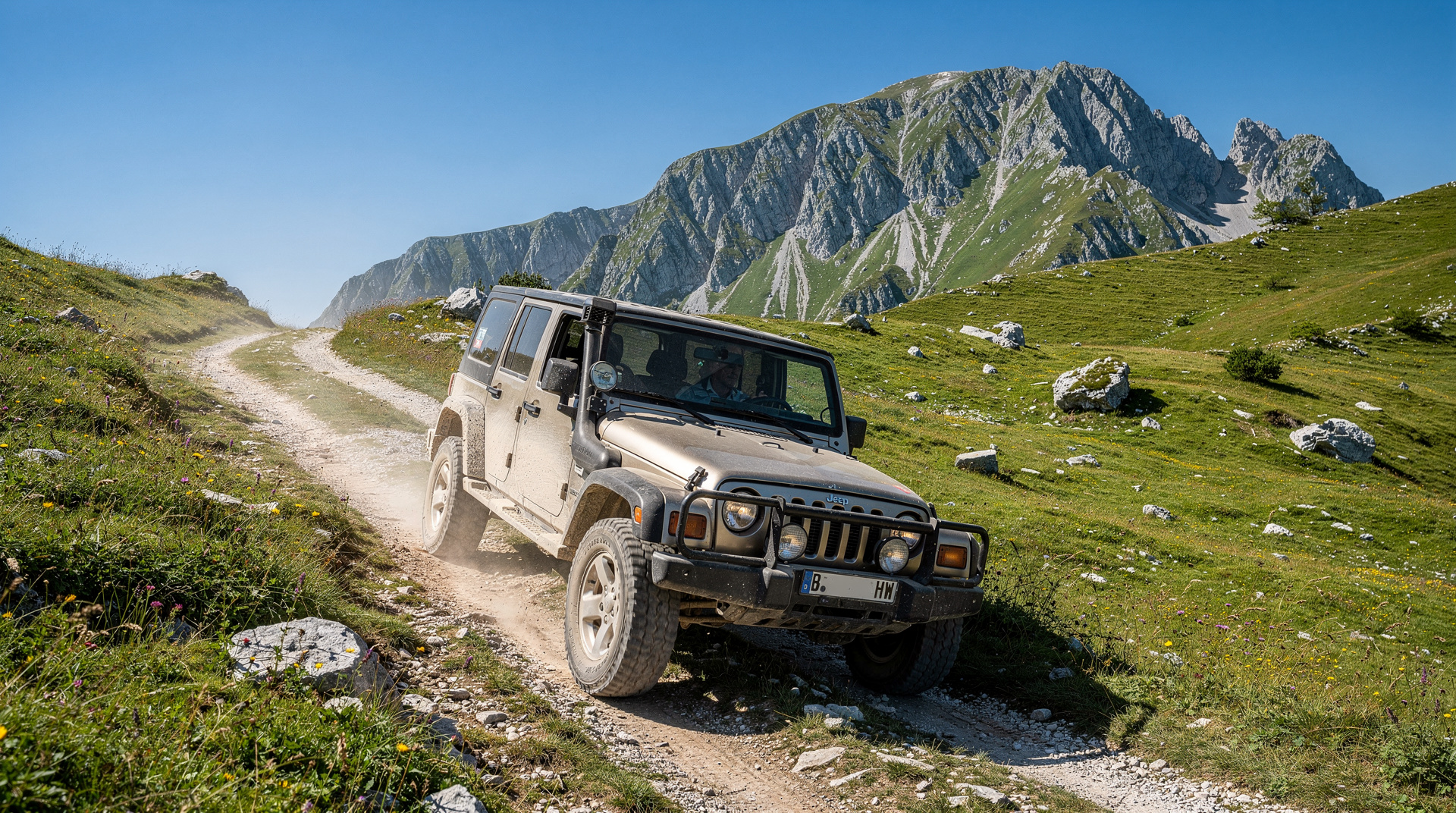
Sarajevo: Quad Adventure to Bjelasnica & Lukomir Village
What are the best hikes on Bjelašnica mountain near Sarajevo?
Bjelašnica offers open plateau hiking at 1,500-2,067m, 40 km south of Sarajevo. The best routes include the plateau loop (easy, 2-3 hours), the Lukomir ridge approach (moderate, 4-5 hours with the village visit) and the summit trail to 2,067m (moderate-strenuous, 3-4 hours from the resort). Via Dinarica passes through the plateau.
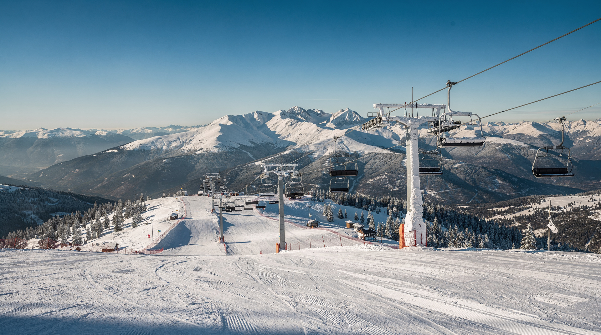
Bjelašnica is the mountain that most defines Sarajevo’s relationship with the outdoors. At 2,067m it is the highest of the city’s Olympic mountains, its upper plateau crossing above the treeline into a landscape of open karst grassland, wildflowers and panoramic ridgelines. The same slopes that hosted the 1984 Olympic downhill skiing become some of the finest hiking terrain in the western Balkans from June to October.
| Where | 40 km south of Sarajevo, via Hadžići |
| Cost | Free plateau access; guided day hikes/quad tours around 40-70 EUR |
| Time needed | Half-day (plateau loop) to full day (summit or Lukomir approach) |
| Getting there | Rental car (40 min), taxi, or guided tour with transport |
| Best time | June-September, with September offering the clearest views |
The mountain at a glance
Bjelašnica rises 40 km south of Sarajevo, accessible via the main road through Hadžići. The ski resort occupies the northeast side of the mountain; the plateau and summit extend south and west into a more rugged and less developed landscape. The Via Dinarica White Trail passes through on its north-to-south crossing of Bosnia’s mountain spine.
The mountain has three distinct hiking zones:
The resort area (1,400-1,600m): Easiest access, most facilities (café, car park), most visitors. Good for families and those trying the mountain for the first time.
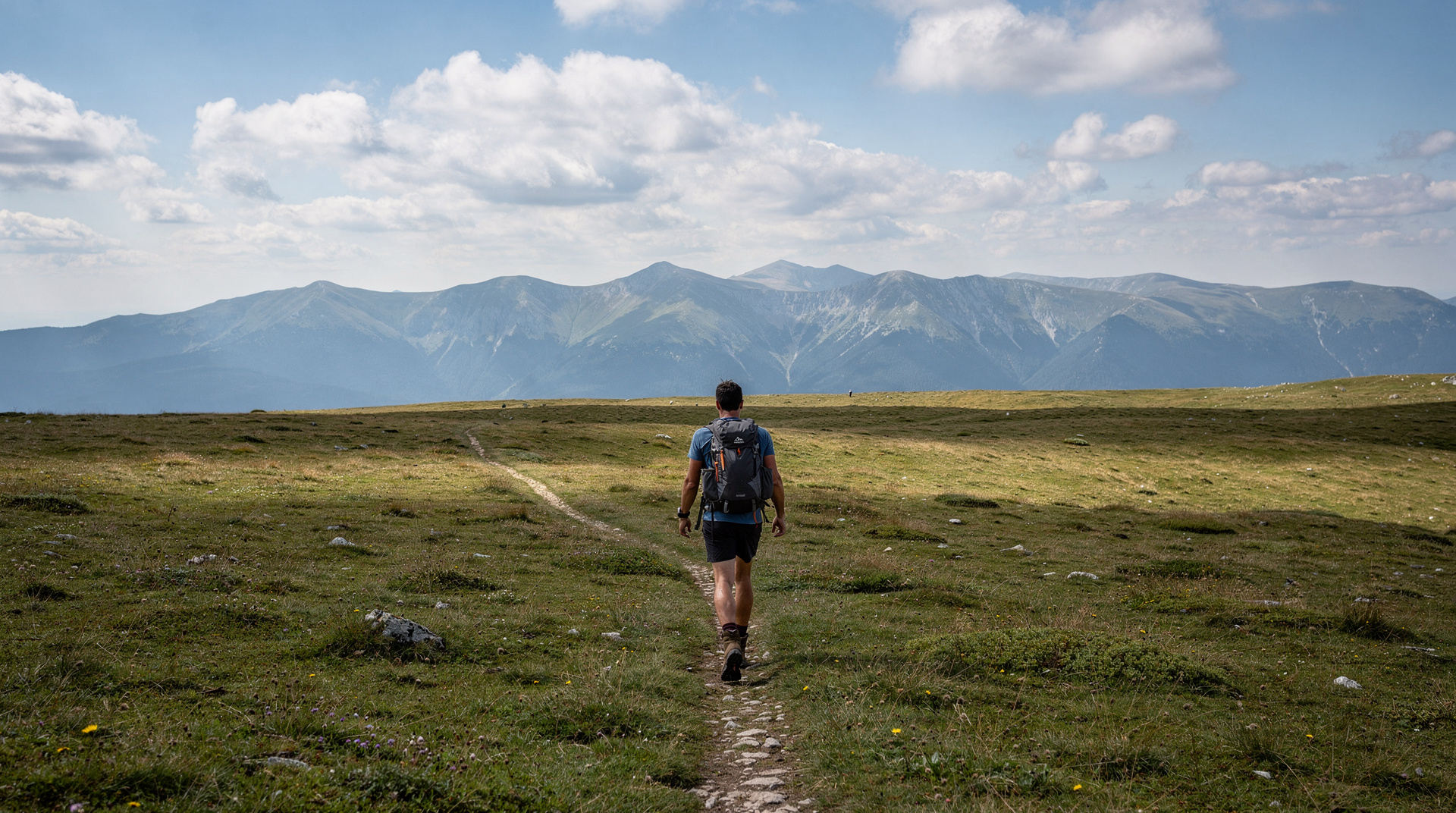
The upper plateau (1,600-1,900m): Above the treeline, open grassland and limestone. The most characteristic Bjelašnica terrain — big skies, wildflowers, almost no crowds on weekdays.
The summit area (1,900-2,067m): The final rise to the high point, with full panoramic views in all directions. Moderate physical effort required.
Hiking routes on Bjelašnica
Route 1: Plateau loop (easy, 2-3 hours)
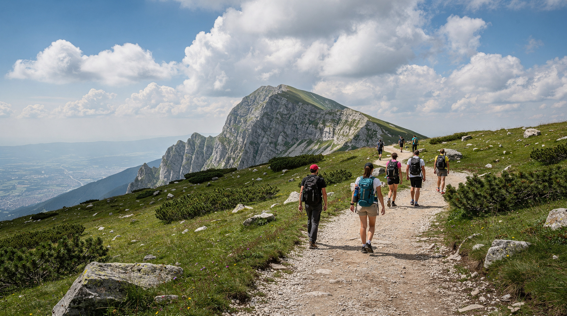
The most popular and least demanding option. Start from the main ski resort parking area (approximately 1,450m) and follow the plateau access path westward. The terrain opens immediately into the upper grassland.
The loop covers 6-8 km on open terrain with minimal elevation change, giving you an extended immersion in the plateau landscape. On clear days the views from the plateau edge south into Herzegovina are remarkable; on the north side, Sarajevo is visible in the valley below.
Who it suits: Families with older children (8+), first-time mountain visitors, those who want views without significant physical effort.
Route 2: Summit trail (moderate-strenuous, 3-4 hours)
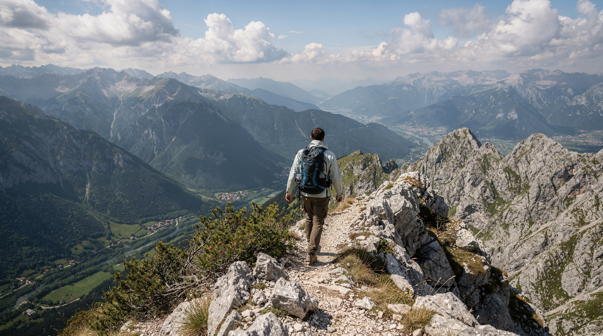
From the resort car park, the summit trail climbs southeast toward the 2,067m top. The route is marked and straightforward on clear days.
The summit view in clear conditions extends south across Herzegovina to the Adriatic coast horizon, north into the Sarajevo valley, east toward the Prenj massif and west toward the Una valley. This is genuinely one of Bosnia’s best viewpoints.
Who it suits: Fit recreational hikers seeking a summit goal.
Route 3: Lukomir approach (moderate, 4-5 hours round trip)
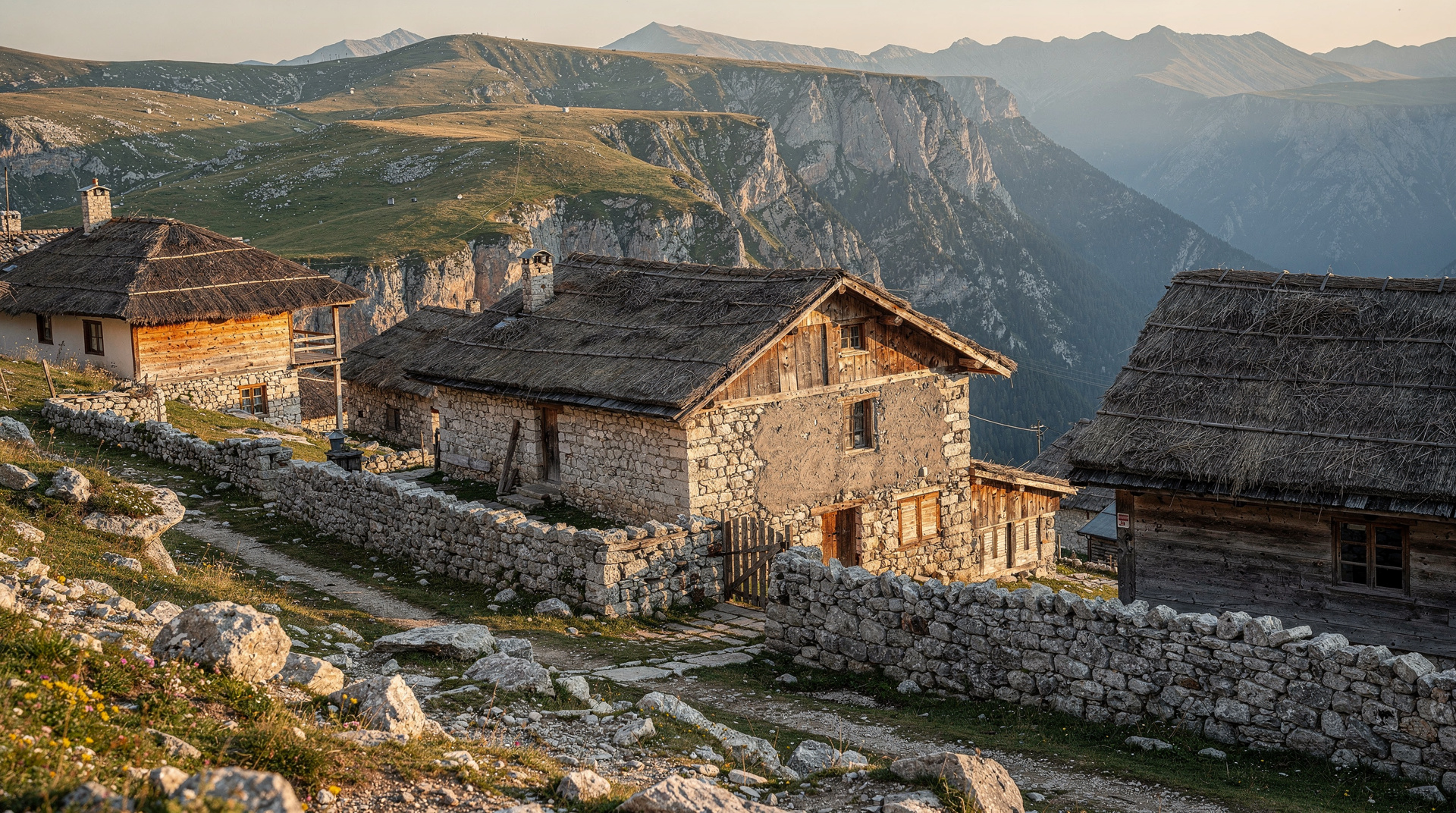
The route to Lukomir village starts from the Bjelašnica plateau and traverses southwest across open terrain for approximately 6 km to reach the canyon rim and village. This is the most culturally rewarding of the Bjelašnica routes — the plateau crossing is pleasant, the canyon view from the rim is dramatic, and the village itself is extraordinary.
Quad adventure to Bjelašnica and Lukomir village covers the same terrain by ATV if hiking is not practical.
If you would rather walk it with someone who knows the terrain, a full-day guided hike to Lukomir from Sarajevo handles the transport and the navigation for you.
For full route details, see the Lukomir village hike guide.
Route 4: Via Dinarica crossing (full day or multi-day)
The Via Dinarica enters Bjelašnica from the north and exits southward toward the Bjelimići plateau. The Bjelašnica section (typically covered in a full day) is the most accessible and best-marked segment of the Bosnia Via Dinarica, making it an excellent introduction to this long-distance trail.
Hikers with 2-3 days can hike in from the Igman side, cross Bjelašnica and continue to Lukomir as a section of the Via Dinarica. See the Via Dinarica Bosnia guide for the full picture.
Choosing the right route for your day
The four routes above are not interchangeable, and picking well matters more than fitness alone. If this is your first morning in the mountains after days in the city, start with the plateau loop. It lets you judge the weather, the wind and your own legs before committing to anything longer. If the sky is clear and you feel good, the summit trail is a natural second outing, and many visitors do the loop one day and the summit another.
The Lukomir approach suits people who care as much about the people and place as about the scenery. It is a day built around a destination rather than a viewpoint, so plan your timing around the village rather than rushing to be back at the car. The Via Dinarica crossing is for walkers who already enjoy long days on foot and want to feel part of a bigger route through the Dinaric Alps.
If you are weighing Bjelašnica against its neighbour, the Jahorina vs Bjelašnica guide explains how the two Olympic mountains differ. For the wider picture of walking in the country, the hiking in Bosnia guide shows where this mountain sits among the other options.
A typical day on the plateau
Most good days on Bjelašnica follow the same rhythm. Leave Sarajevo early so you reach the resort car park while the air is still cool and the grassland is quiet. Walk the first part of your route in the morning light, when the views across the valleys are at their clearest and the thunderstorm risk is lowest. Take your main break on the plateau, with a sandwich and a long look at the horizon, then turn back before the afternoon weather has a chance to build.
On the way down, the resort café is a convenient place to rest tired legs before the drive back to the city. In the evening, Sarajevo feels very different after a day at altitude; the Baščaršija guide is a good starting point for a relaxed dinner and a coffee in the old town, and the Sarajevo restaurants guide covers where to eat well once you are back.
Fitting Bjelašnica into a Sarajevo trip
Bjelašnica works best as a single day carved out of a longer stay in the capital. It pairs naturally with the city’s history: a morning among the Olympic slopes makes more sense once you have seen the 1984 Winter Olympics story and understood why these mountains mattered to the city, and the siege that followed gives the quiet of the plateau a sobering context. The Sarajevo siege and Tunnel of Hope guide tells that part of the story for travellers who want to connect the mountains to the events below them.
If you are planning the whole trip, the Bosnia 7-day itinerary and the Sarajevo 4-day deep dive both leave room for a mountain day. Travellers who prefer an active programme can look at the Bosnia adventure itinerary, where a day on the plateau fits alongside rafting and other outdoor plans. The Bjelašnica and Igman destination page gives the wider overview of both mountains.
Practical tips for a smoother hike
- Check the forecast the night before. Conditions on the plateau can differ sharply from the city, so a sunny morning in Sarajevo does not guarantee clear skies at altitude.
- Download your track in advance. Mobile signal can be patchy on open ground, and fog is the most common reason people lose the path.
- Carry cash. Small mountain businesses and village restaurants often prefer cash; the money and currency guide explains how the local currency works.
- Tell someone your plan. Even on marked routes, let your accommodation know which route you chose and roughly when you expect to return.
- Respect the land. Take your rubbish with you, keep to the paths and leave wildflowers where they grow. The grassland recovers slowly from trampling.
- Plan your transport home. If you rely on a taxi or a guided tour, confirm the pickup time before you set off. The getting around Bosnia guide and the renting a car in Bosnia guide cover the options for reaching the mountains.
Hiking with children and less experienced walkers
The plateau loop is the best choice for families, because the terrain is open, the gradients are gentle and you can turn around at any point without losing the sense of having done something. Let children set the pace, bring more snacks and water than you think you need, and treat the summit as an optional bonus rather than the goal. The exposed grassland offers no shade and no shelter, so hats, sun cream and a spare layer matter just as much for a short walk as for a long one.
Keep younger walkers close and make the rule about staying on the marked path very clear before you start. The Bosnia with kids guide has more ideas for family days, and the landmine safety guide explains in plain terms why paths matter in this part of the country and how to read the signs you may meet.
Flora and fauna on the plateau
Bjelašnica’s upper plateau is botanically rich — the limestone karst supports species specific to this altitude range:
Spring (June): Mountain crocuses, gentians, various orchid species, cowslips. The plateau turns purple and yellow in waves across the grassland.
Summer (July-August): Mountain cornflowers, thyme in bloom, pansies, edelweiss on rocky outcrops. The scent of thyme on a warm evening is one of Bjelašnica’s distinctive sensory experiences.
Autumn (September-October): The grassland turns gold and tawny. Views across Herzegovina are sharpest in October’s clear air.
Birds: Skylarks, wheatears, kestrels and occasional golden eagles on the upper slopes.
Getting to Bjelašnica
By car from Sarajevo: Take the ring road toward Hadžići then follow signs for Bjelašnica ski resort. Approximately 40 minutes on paved road. Park at the resort car park (free).
By guided tour: Guided day hikes from Sarajevo include transport, and a small-group day hike around Sarajevo to Lukomir village is a practical choice if you have no car. See the best day hikes from Sarajevo guide for options.
In winter: Ski buses run from Sarajevo during the ski season (December-March). No regular summer bus service.
Season
| Period | Conditions | Recommended for |
|---|---|---|
| June | Snow clearing; wildflowers emerging | Experienced hikers; check conditions |
| July-August | Peak season; warm at altitude | All hikers; families |
| September | Best light and visibility | Photography; trekking |
| October | Autumn colours; weather uncertain | Experienced hikers; check forecast |
| November-May | Snow; ski season | Skiing, not hiking |
Safety on Bjelašnica
Trails are marked and the main plateau routes are safe for casual hikers. However:
Landmine awareness: The Bjelašnica area and the Igman slopes to the north were within the siege perimeter and the surrounding area saw significant fighting. The marked hiking routes are confirmed safe. Do not leave marked paths, particularly on the eastern and northern slopes where the mountain approaches the former front lines.
Weather: Afternoon thunderstorms are possible June through August. Start early and be off exposed ridgelines by 13:00 if storm clouds are building. The plateau offers no shelter.
Visibility: Mountain fog can descend quickly on the plateau. Carry a downloaded GPS track as a backup navigation tool even on marked routes.
Bjelašnica is the best introduction to Bosnian mountain hiking — accessible, rewarding, and connected to the country’s remarkable Olympic history. The view from the summit, across a country still emerging from war’s shadow into its outdoor tourism potential, is one of the most optimistic panoramas in Europe.
What to bring
Even in summer, the plateau’s exposed terrain and altitude mean conditions change fast. Bring layers (a windproof shell even on a warm morning), 1.5-2 litres of water per person for the summit or Lukomir routes, sun protection (the open grassland offers zero shade), sturdy trail shoes rather than trainers, and a downloaded offline map or GPS track. For a longer push toward Lukomir, carry cash (BAM) for the village’s simple restaurants, which do not take cards.
Frequently asked questions about Bjelašnica hiking
How high is Bjelašnica and how long does it take to hike to the top?
Can I hike Bjelašnica without a car?
Is Bjelašnica easy to hike?
What is the Via Dinarica route on Bjelašnica?
When does the snow clear on Bjelašnica?
Can I see Lukomir from Bjelašnica?
Is Bjelašnica better than Jahorina for hiking?
Do I need a guide to hike Bjelašnica?
Top experiences
Bookable activities with verified prices and instant confirmation on GetYourGuide.