Hiking in Bosnia guide
From Sarajevo: Lukomir Village Hiking Tour with Guide
What are the best hikes in Bosnia and Herzegovina?
Bosnia's top hikes include Lukomir village (highland plateau, 1,469m, full-day from Sarajevo), Maglić summit (2,386m, Bosnia's highest peak, 2-day from Sutjeska), Bjelašnica plateau trails, Prenj massif, Zelengora lakes and sections of the Via Dinarica White Trail. Always hike marked trails — landmine risk in unmarked rural areas.
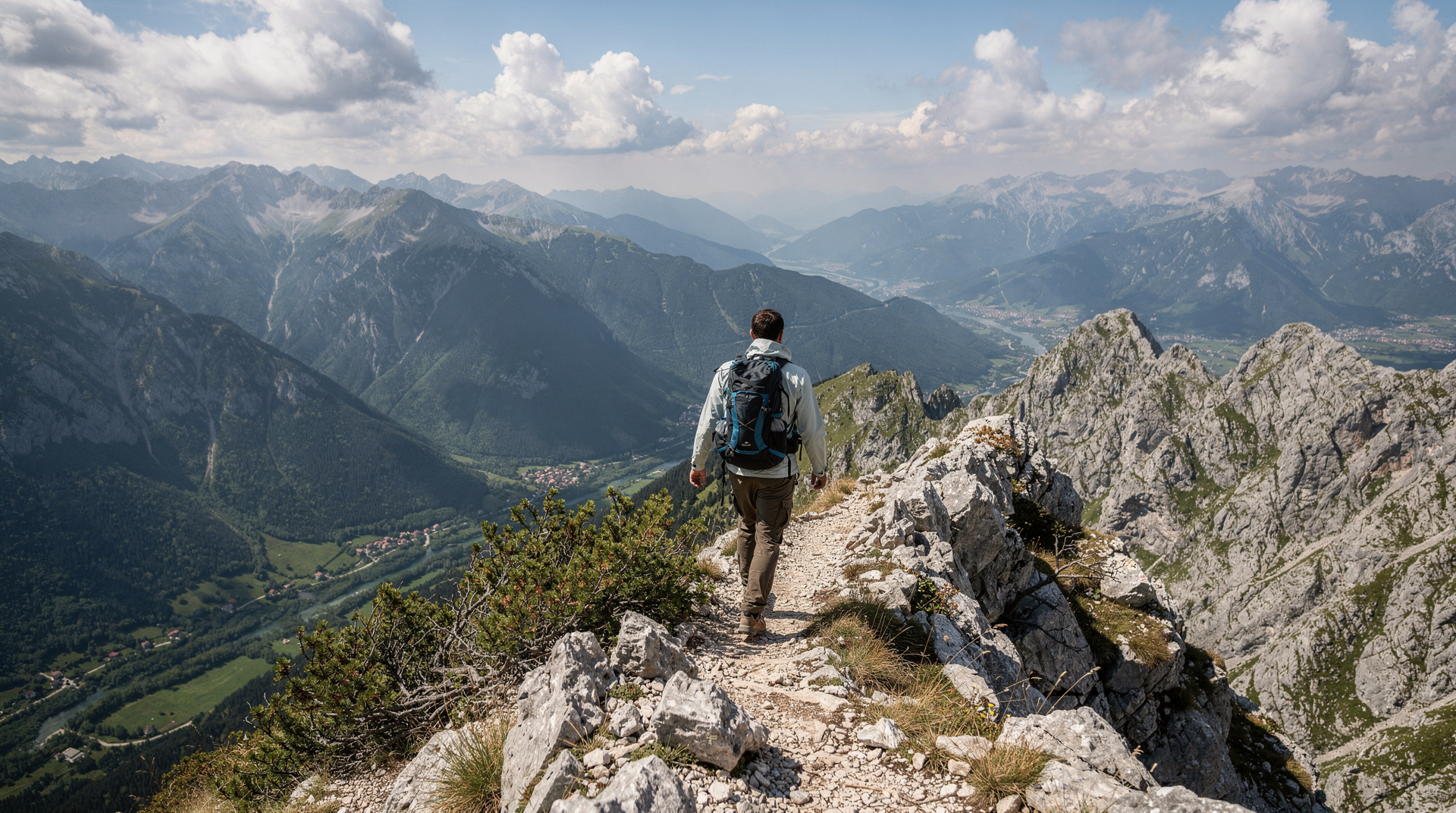
Bosnia & Herzegovina sits at the heart of the Dinaric Alps, with one of the least-visited mountain systems in Europe. For hikers, this means exceptional wilderness, virtually no crowds on the trails, and scenery that rivals the Alps without the infrastructure, prices or queues. This guide covers the country’s main hiking areas and how to approach them safely.
| At a glance | |
|---|---|
| Where | Bjelašnica, Prenj, Sutjeska NP, Bjelimići/Visočica, Una valley |
| Cost | Guided day hikes from Sarajevo around 60-100 KM; independent hiking free besides park fees |
| Time needed | 1 day for Lukomir or a Sarajevo day hike; 2 days for Maglić with Trnovačko Lake |
| Getting there | Guided transport from Sarajevo, or self-drive/rental car for independent access |
| Best time | June-September for most areas; April-October for lower-elevation Una valley trails |
The five main hiking areas
Bosnia’s hiking concentrates in five distinct mountain regions, each with its own character:
Bjelašnica plateau — The closest mountains to Sarajevo (40 km), reaching 2,067m and offering a range of day hikes including access to Lukomir village, Bosnia’s most atmospheric highland settlement.
Prenj massif — Often called the “Bosnian Himalaya” by locals, Prenj is a dramatic serrated limestone ridge south of Konjic with some of the most challenging and rewarding routes in the country.
Sutjeska National Park — Bosnia’s oldest national park, home to Maglić (the highest peak), Zelengora mountain, the Perućica primeval forest and the extraordinary Trnovačko Lake.
Bjelimići plateau / Visočica — Less visited but excellent for the Via Dinarica trail and multi-day Dinaric ridge walking.
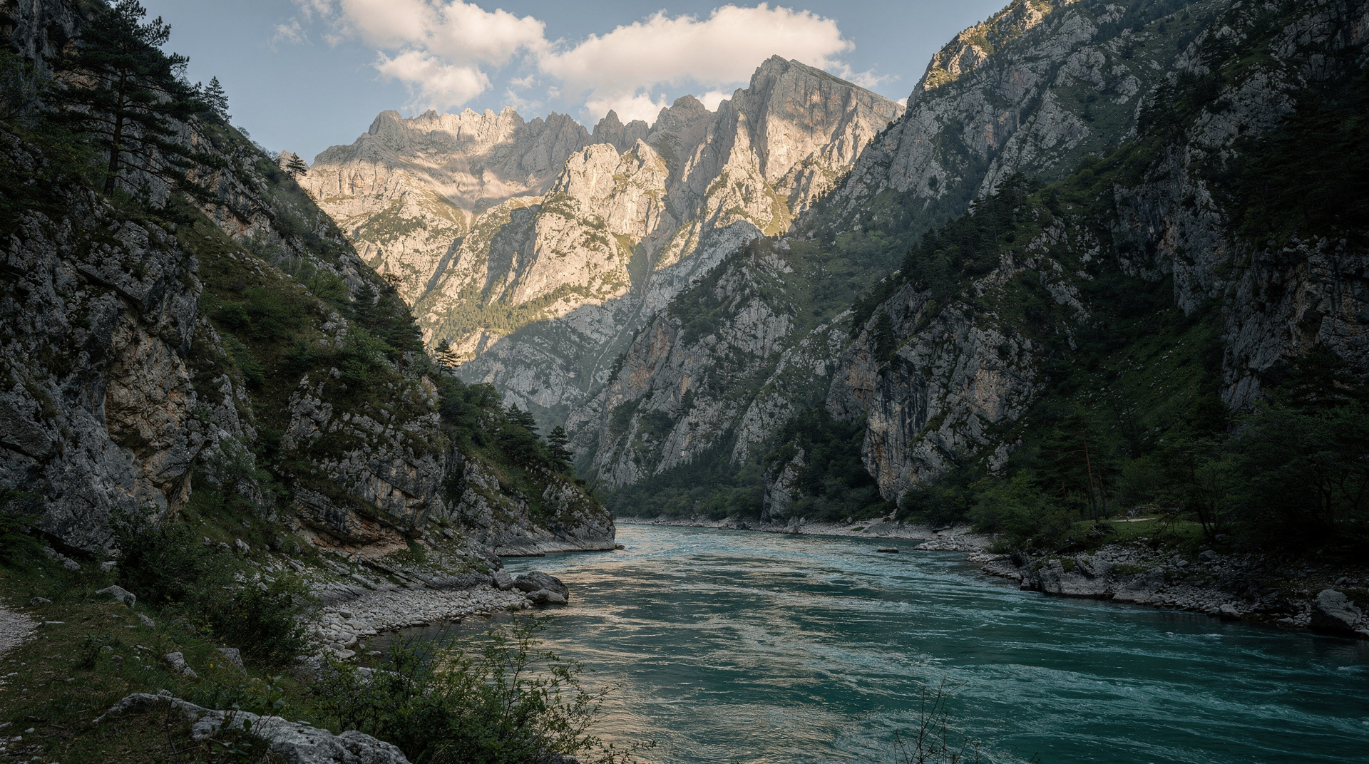
Una valley / Grmeč — Northwest Bosnia near Bihać, with forest hiking, canyon rims and the Una National Park trail network.
Lukomir: the unmissable day hike
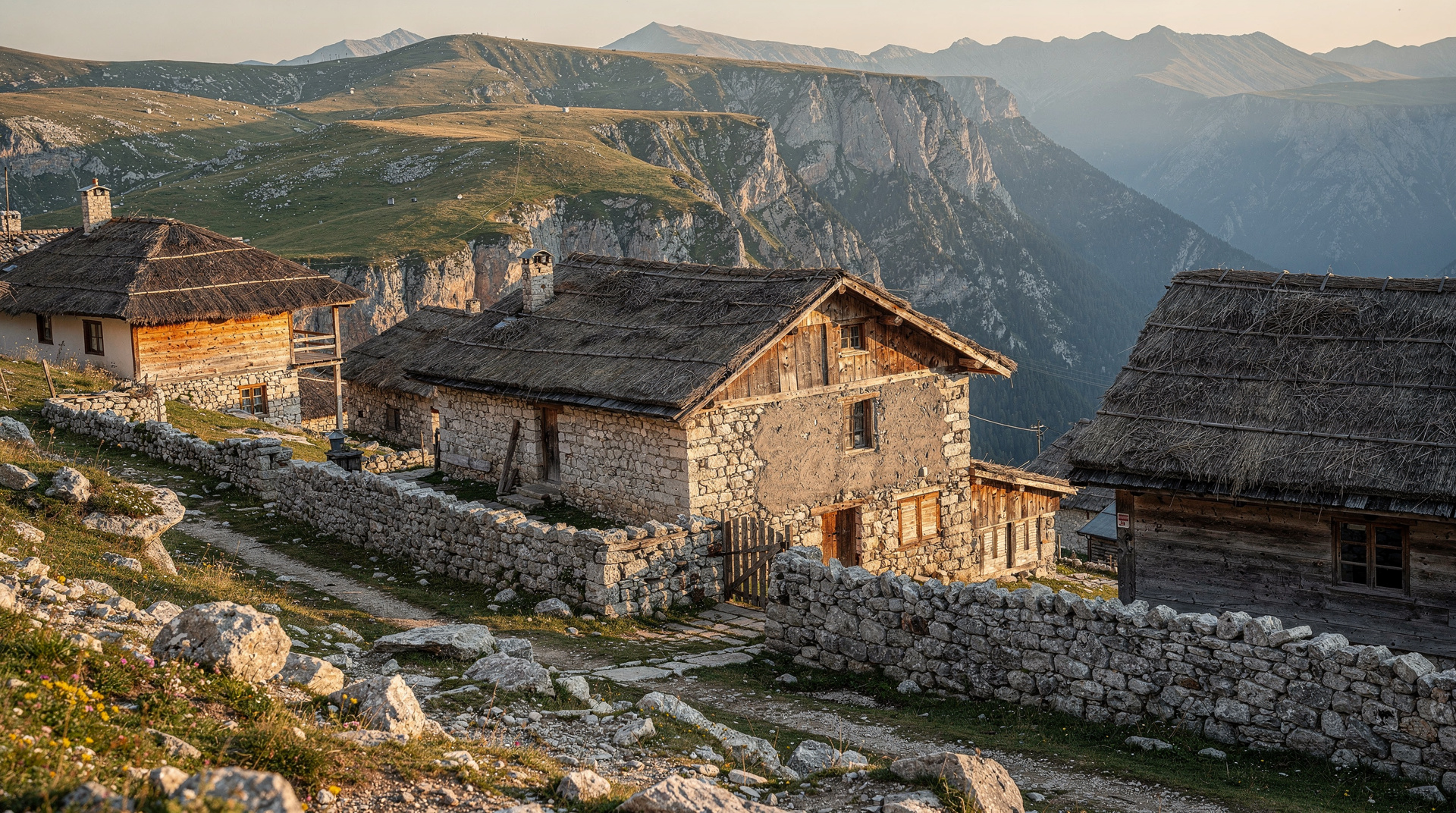
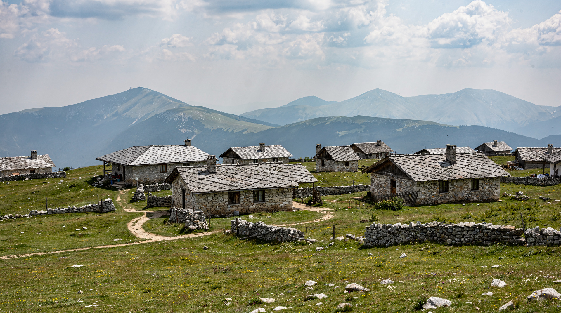
Lukomir is Bosnia’s signature day hike — the one that appears on every adventure travel list and deserves every accolade. The village itself (population under 100) is the last traditional highland settlement in Bosnia, inhabited by the Mirić and Likić families for generations, with stone houses and a rural way of life largely unchanged for centuries.
Full-day guided hike from Sarajevo to Lukomir village is the easiest way to make this trip without a rental car. The guided experience includes transport, a local guide who knows the village families, and trail navigation across the Bjelašnica plateau.
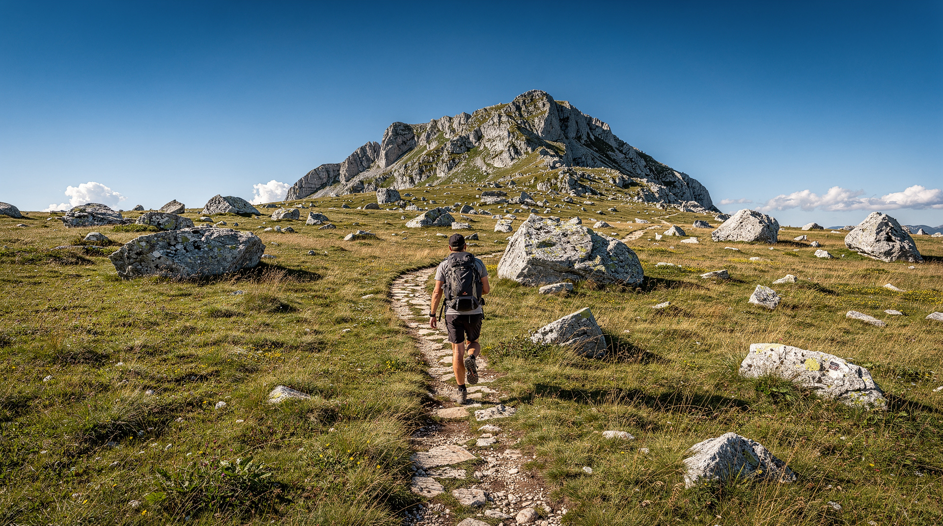
The hiking route crosses the high plateau through wildflowers in spring and early summer, reaches the canyon rim with views into the 800m-deep Rakitnica gorge, and arrives at Lukomir with the sense of having genuinely stepped back in time. See the dedicated Lukomir village hike guide for full details.
Maglić: Bosnia’s highest summit
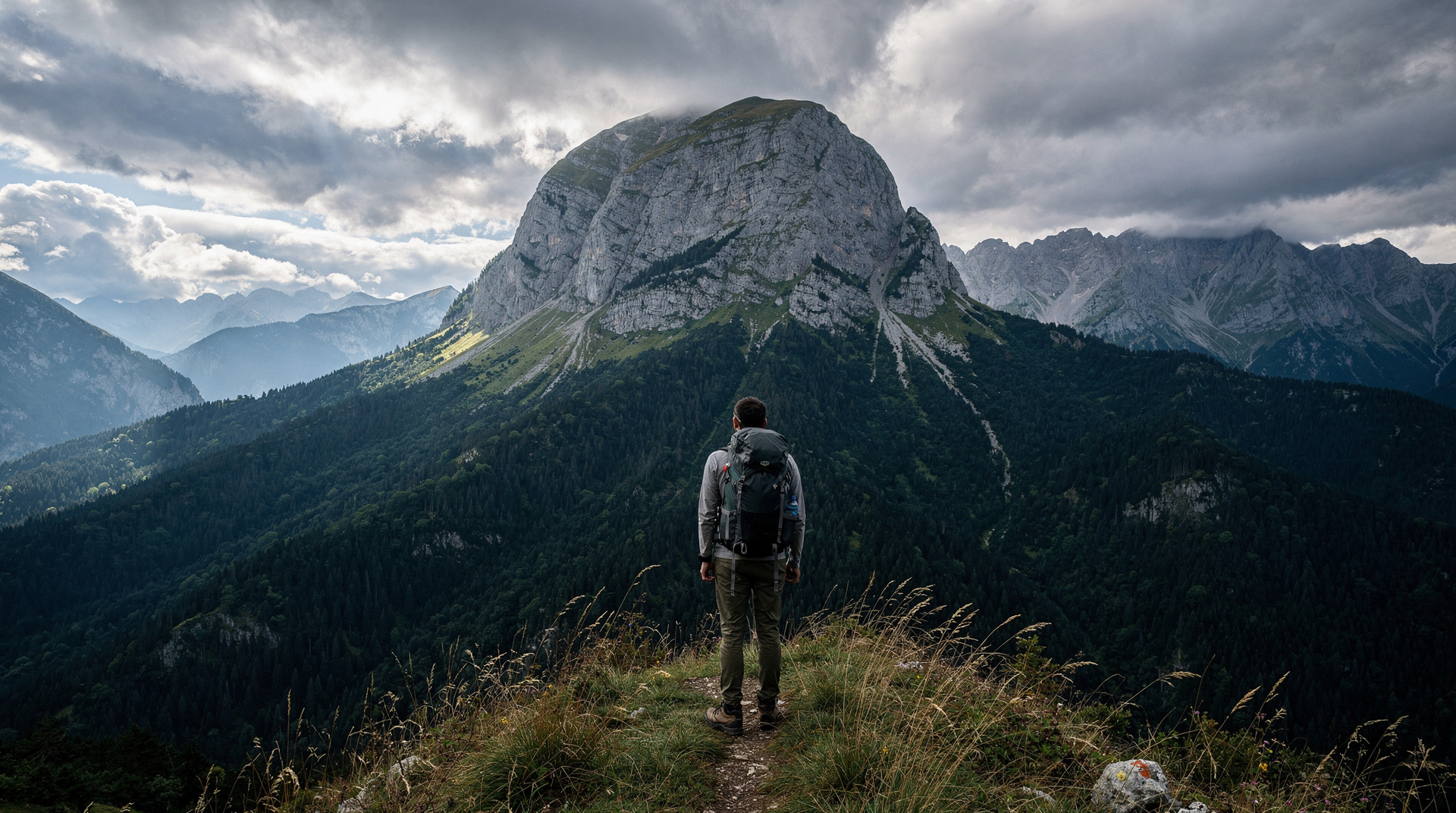
Maglić (2,386m) is the roof of Bosnia — on the border with Montenegro in Sutjeska National Park. The standard route from Tjentište in the park takes 5-7 hours round trip, passing through the park’s beech forest before emerging onto the exposed limestone ridge. The summit offers views into Montenegro’s Durmitor massif and down into the Tara canyon.
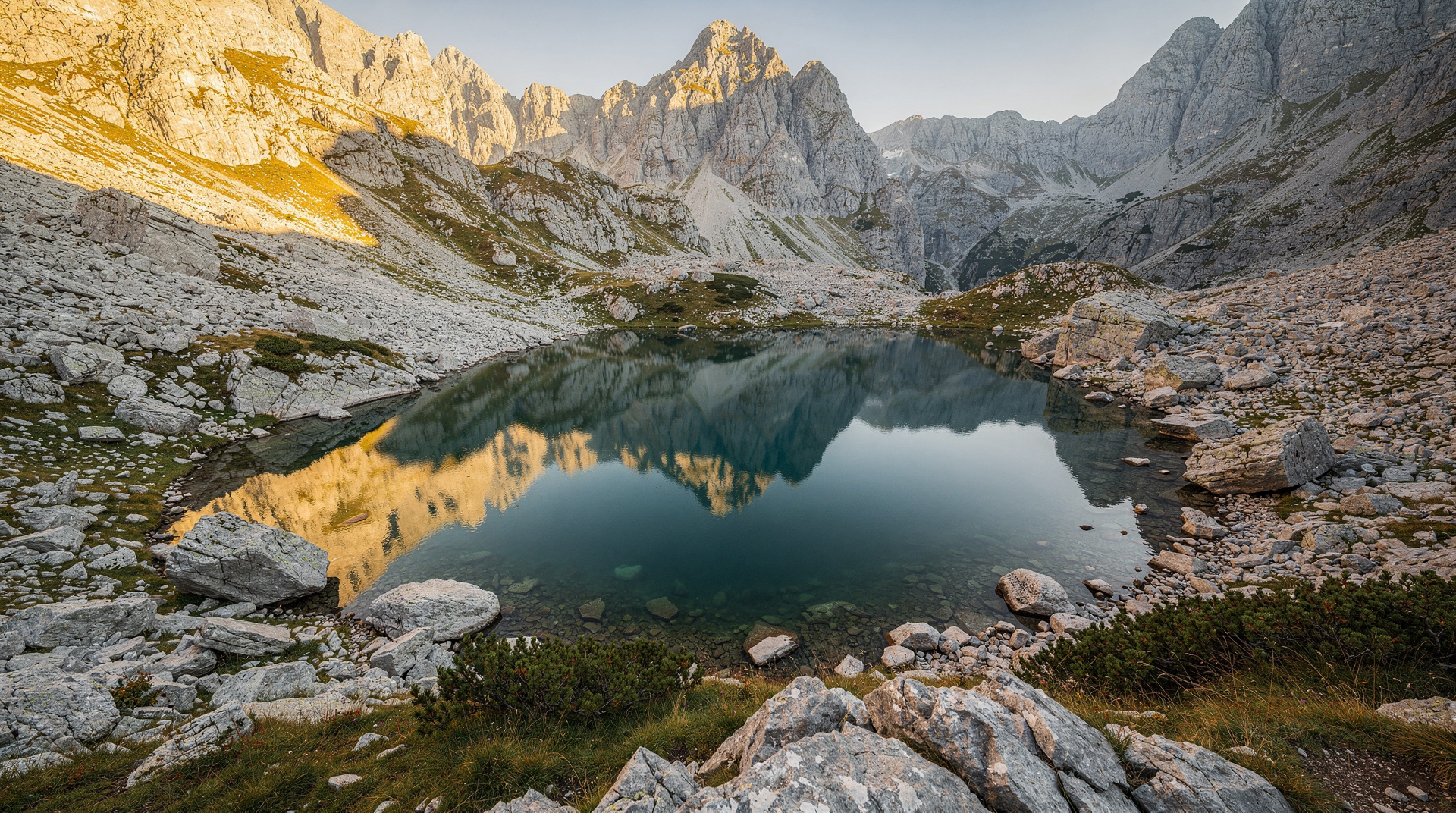
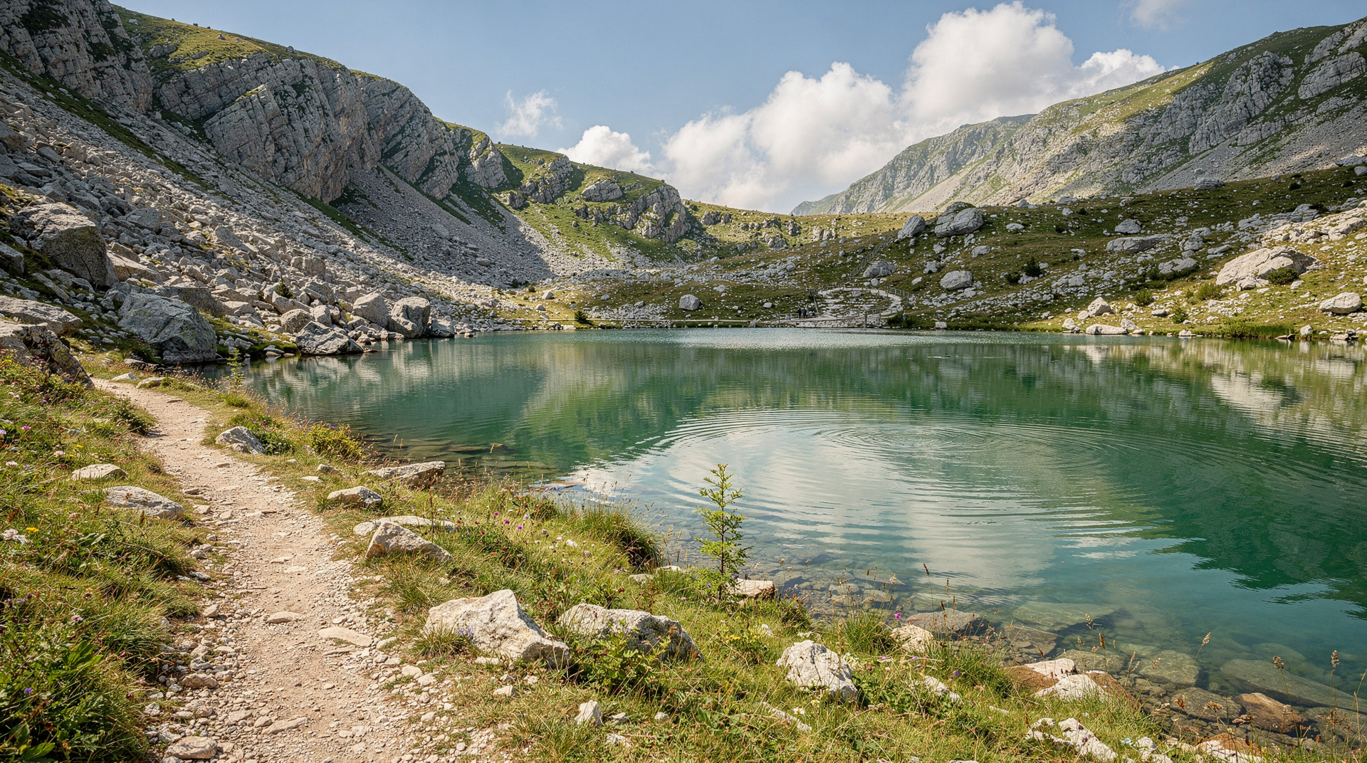
Guided ascent of Maglić from Sarajevo with Trnovačko Lake makes this accessible as a day trip with transport included. The route passes Trnovačko Lake — a heart-shaped glacial lake at 1,669m that is arguably the most photogenic single spot in Bosnian hiking.
Full details in the Maglić mountain climb guide.
Via Dinarica White Trail
The Via Dinarica is a 2,000-km trail running through the Dinaric Alps from Slovenia to Albania. The Bosnia section of the White Trail (the high-altitude ridge route) passes through Prenj, Bjelašnica, Bjelimići and Zelengora before entering Montenegro.
For most visitors, section-hiking the Via Dinarica in Bosnia means choosing 2-4 day sections between resupply points. The Via Dinarica Bosnia guide covers the key sections, recommended approach routes and logistics. The Bjelašnica-Lukomir section is the most accessible and most rewarding for those with limited time.
Day hikes from Sarajevo
Sarajevo’s position in a mountain bowl means genuine hiking is available within 20-40 minutes of the city centre. The best day hikes from Sarajevo guide covers the options in detail, including:
- Trebević mountain (accessible by cable car from the old town)
- Bjelašnica plateau trails
- Igman forest walks
- Vrelo Bosne nature park (flat, easy, family-friendly)
Choosing your first route
If this is your first time hiking in the Balkans, resist the urge to start with the biggest name. The gentlest introduction is a short walk near the capital: Vrelo Bosne is flat and easy, while Trebević mountain adds some height and views over the city without any real commitment. Both let you test your boots, your pace and your appetite before heading into the high country.
Once you are comfortable, the natural next step is the plateau around Bjelašnica and Igman, where the Bjelašnica hiking guide lays out the options. From there Lukomir is a logical progression, and the Lukomir destination page explains what the village offers once you arrive. Experienced walkers who want something more demanding can look to the Prenj mountain guide or the Zelengora lakes guide, both of which reward preparation.
A useful rule of thumb: choose the route that matches your weakest link, whether that is fitness, navigation or time. A strong hiker with no map skills is better off with a guide than a fit one with a good track and a plan to turn back early.
Getting to the trailheads
Public transport rarely reaches the start of a mountain trail, which is why so many visitors book a guided day or hire a car. If you plan to drive yourself, read the renting a car in Bosnia guide and the driving in Bosnia guide first: mountain approaches can be slow, narrow and poorly signed, and you should allow generous margins for daylight. For everything else, the getting around Bosnia guide and the buses in Bosnia guide explain what is realistic without your own wheels.
For the southern mountains, Konjic is the usual base for Prenj, and the Konjic day trip guide shows how to combine a hike with the town. For Maglić and Zelengora, the Sutjeska National Park guide covers the practicalities of staying near the trailheads.
Landmine safety: the non-negotiable rule
Bosnia’s war from 1992-1995 left significant areas of rural and mountainous land contaminated with landmines and unexploded ordnance. The BHMAC (Bosnia Mine Action Centre) has cleared large areas and maintains detailed hazard maps, but contamination remains in some rural zones.
The rule is simple and absolute: stay on marked trails and established paths. Never hike off-trail in rural, forested or mountainous areas without prior confirmation from a local guide or BHMAC that the area is clear.
In practice, this means:
- Use established trail routes (Via Dinarica, marked park trails)
- Download official GPS tracks from verified sources before hiking
- Tell a local guide, accommodation host or park authority your planned route
- If you encounter a warning sign (red triangle with skull), turn around immediately
- The main national parks (Sutjeska, Una) have well-cleared trail networks within the park boundaries
This rule applies to Bosnia across the board. The good news: Bosnia’s marked hiking trails are genuinely safe when used correctly, and the rewards justify the planning effort.
Equipment checklist for Bosnia hiking
Essential:
- Sturdy hiking boots (waterproof, ankle support for rocky karst)
- 2-3 litres water capacity per person (springs are rare above 1,500m)
- Waterproof jacket and warm layer (mountain weather is unpredictable)
- Sunscreen and sunglasses (UV at altitude)
- Detailed map or downloaded GPS track (cell signal unreliable)
- First aid kit
Recommended:
- Trekking poles (limestone karst is rough and uneven)
- Emergency bivouac bag
- Head torch with spare batteries
- Local guide contact number
- Physical copy of your route plan left with accommodation
Guided hiking tours from Sarajevo
For visitors who want to hike Bosnia without the logistics burden, guided day hikes from Sarajevo are available for all main routes:
Small-group hiking tour to Lukomir village is the most popular guided option, typically running May-October with guaranteed departures in peak season.
For the more serious trekker, the Via Dinarica guide covers multi-day options with accommodation and logistics.
Hiking seasons by area
| Area | Best months | Notes |
|---|---|---|
| Bjelašnica / Lukomir | June-September | Snow possible May and October |
| Maglić / Sutjeska | June-September | Remote — guided recommended |
| Prenj | July-September | Technical limestone — experience helpful |
| Zelengora | June-September | Excellent July-August |
| Una valley | April-October | Lower elevation, more accessible |
Multi-day options and huts
Bosnia has a small but real network of mountain huts (planinarski dom) in Bjelašnica, Prenj and Sutjeska, though standards vary widely — some are basic shelters with no running water, others are staffed in peak season. Independent multi-day trekkers should confirm hut status locally before relying on one; carrying a tent as backup is the safer approach for the Via Dinarica or a Prenj traverse. The via Dinarica Bosnia guide has current hut notes for each section.
For those short on time but wanting more than a single day hike, pairing Bjelašnica with a night in Lukomir itself (a handful of family-run guesthouses operate in summer) turns the standard day trip into a much quieter two-day experience, with sunrise over the Rakitnica canyon before the day-trip crowds arrive.
How Bosnia compares to hiking elsewhere in the Balkans
Compared with Montenegro’s Durmitor or Albania’s Accursed Mountains, Bosnia’s trails see a fraction of the foot traffic and cost noticeably less for guided options, but marked-trail infrastructure and hut standards are less developed. The trade-off is genuine solitude: it is common to hike a full day in Sutjeska or Prenj without meeting another group. For travellers weighing the wider region, the Bosnia vs Croatia guide and Balkans multi-country guide cover how hiking fits into a broader regional trip.
Planning around the seasons and the rest of your trip
Timing shapes the whole experience. The best time to visit Bosnia guide gives the national picture, and the seasonal pages on Bosnia in spring, Bosnia in summer and Bosnia in autumn show how each season changes the trails, the light and the crowds. Autumn in particular suits hikers who like cooler air and quieter paths, and the autumn colours in Sutjeska trip story shows what that looks like on the ground.
Hiking also fits neatly into a longer itinerary. The Bosnia adventure itinerary strings mountains together with river activities, while the Bosnia 7-day itinerary leaves room for a hiking day alongside the cities. If you want first-hand impressions before committing, the Via Dinarica thru-hike diary and the Lukomir last highland village story are honest accounts of what these routes feel like.
Finally, think about the days around your hike. A tough mountain day is best followed by an easy one, and Sarajevo is a good place to recover: the Sarajevo where to stay guide helps you choose a base, and the landmine safety guide is worth reading again before any trip that takes you off the beaten track.
Bosnia’s hiking potential is one of the country’s most undervalued assets. The combination of dramatic mountain scenery, genuine wilderness, minimal crowds and extremely low costs makes it one of the best hiking destinations in Europe that relatively few outside the region have discovered.
Frequently asked questions about Hiking in Bosnia
Is hiking safe in Bosnia?
What is the highest mountain in Bosnia?
When is the best time to hike in Bosnia?
Do I need a guide for hiking in Bosnia?
What gear do I need for hiking in Bosnia?
What is the Via Dinarica White Trail?
Are there mountain huts in Bosnia?
Can beginners hike in Bosnia?
Top experiences
Bookable activities with verified prices and instant confirmation on GetYourGuide.