Maglić mountain climb guide
Climbing Mount Maglić: Visit to Trnovačko Lake
How do I climb Maglić, Bosnia's highest mountain?
The standard route starts at Tjentište in Sutjeska National Park (3h drive from Sarajevo). The hike takes 5-7 hours round trip (18 km, 1,300m elevation gain), reaching the 2,386m summit on the Bosnia-Montenegro border. Difficulty: moderate-strenuous. Best June-September. Guided tours from Sarajevo available.
Maglić stands at 2,386 metres — the highest point in Bosnia and Herzegovina, its rocky summit exactly on the border with Montenegro. Reaching the top requires a full day’s effort and a three-hour drive from Sarajevo, but the rewards match the investment: a 360-degree panorama across the Dinaric Alps, down into the Tara canyon and across to the Durmitor massif in Montenegro. Along the way, the route passes Trnovačko Lake — Bosnia’s most beautiful mountain lake, shaped like a heart.
At a glance
| Where | Sutjeska National Park, starting at Tjentište, around 3h from Sarajevo |
| Cost | Guided day tours vary by operator; independent hiking only costs park entry and transport |
| Time needed | 5-7 hours round trip on the trail; a full day (07:00-21:00+) from Sarajevo |
| Getting there | Self-drive via Foča, or a guided tour with return transfer (no direct public transport) |
| Best time | July-September, with September often the most stable weather; closed by snow November-May |
Maglić and Sutjeska National Park
Maglić is the centrepiece of Sutjeska National Park, Bosnia’s oldest national park established in 1962. The park protects 173 km² of some of the most dramatic and least-disturbed wilderness in the Balkans, including:
- Perućica — one of the last two primeval European rainforests, inaccessible to the public except on guided visits, with beeches over 50 metres tall and trees exceeding 400 years old
- Zelengora — a high plateau with a chain of glacial lakes above the treeline
- Skakavac waterfall — a 98-metre free-falling waterfall inside the Perućica forest
- The Sutjeska River canyon — deep and fast-flowing, cutting through the park’s forest
Tjentište, at the base of the park in the Sutjeska valley, is the main entry point and hiking base. The iconic Tjentište War Memorial (a concrete Brutalist monument to the Sutjeska Battle of 1943, when Tito’s Partisans famously outmanoeuvred a combined German-Italian-Ustasha offensive) stands at the park entrance.
The Maglić route from Tjentište
Route summary
- Trailhead: Tjentište (820m elevation)
- Summit: Maglić (2,386m)
- Total distance: Approximately 18-20 km round trip
- Elevation gain: 1,566m
- Duration: 5-7 hours round trip (without Trnovačko Lake detour)
- With Trnovačko Lake: Add 1.5-2 hours and 3 km
Detailed route
Phase 1: Tjentište to the forest edge (1h) — The trail begins in the Sutjeska valley and climbs immediately through dense beech forest. This section is heavily shaded in summer and pleasantly cool even in July. The river can be heard below.
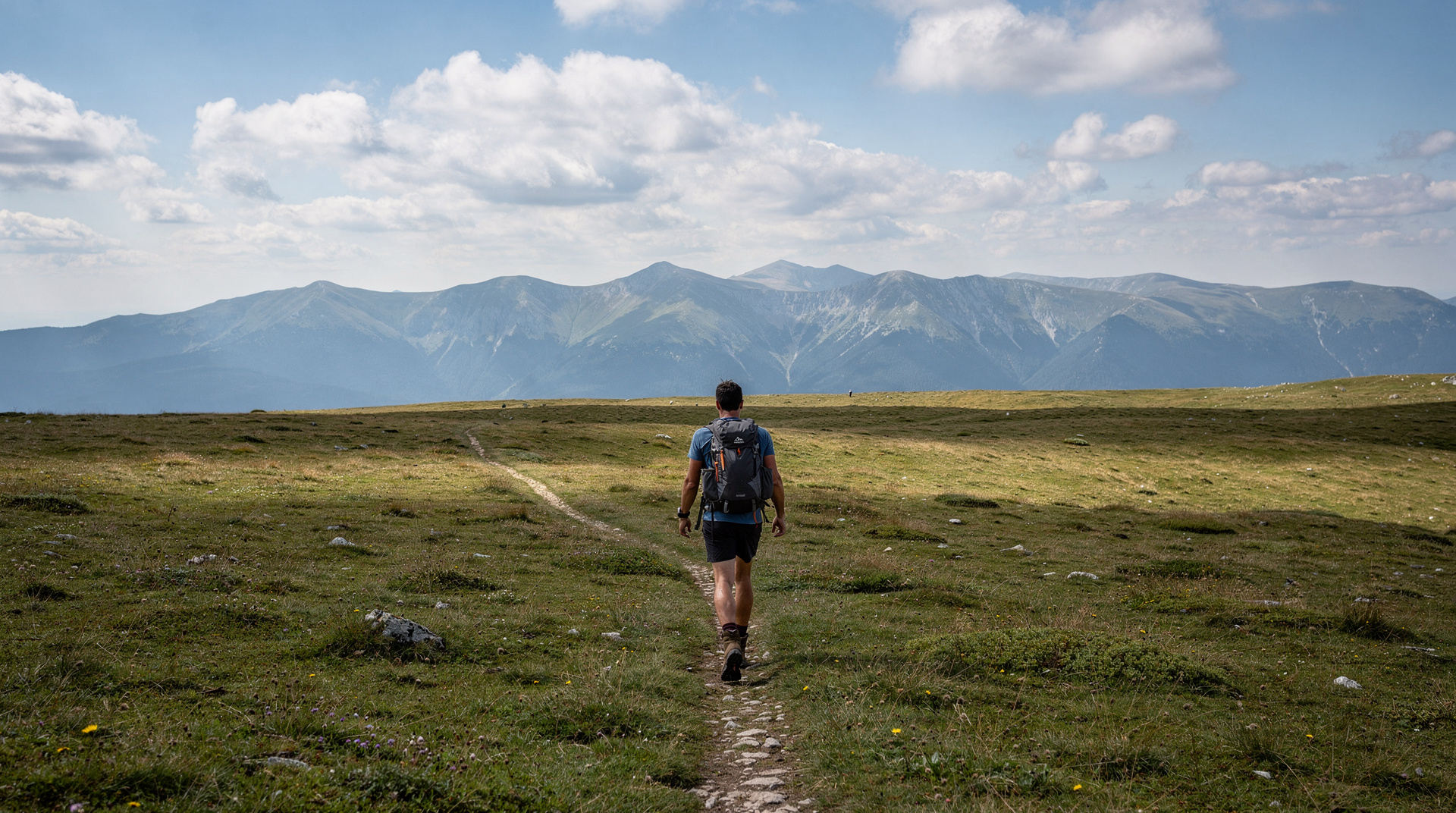
Phase 2: Forest to alpine zone (1-1.5h) — The treeline is dramatic — the beech forest stops abruptly and the landscape opens into grassland, limestone scree and increasingly big views backward into the valley. This is where fitness begins to be tested; the gradient increases.
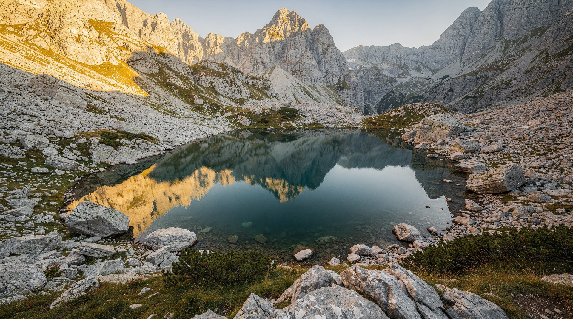
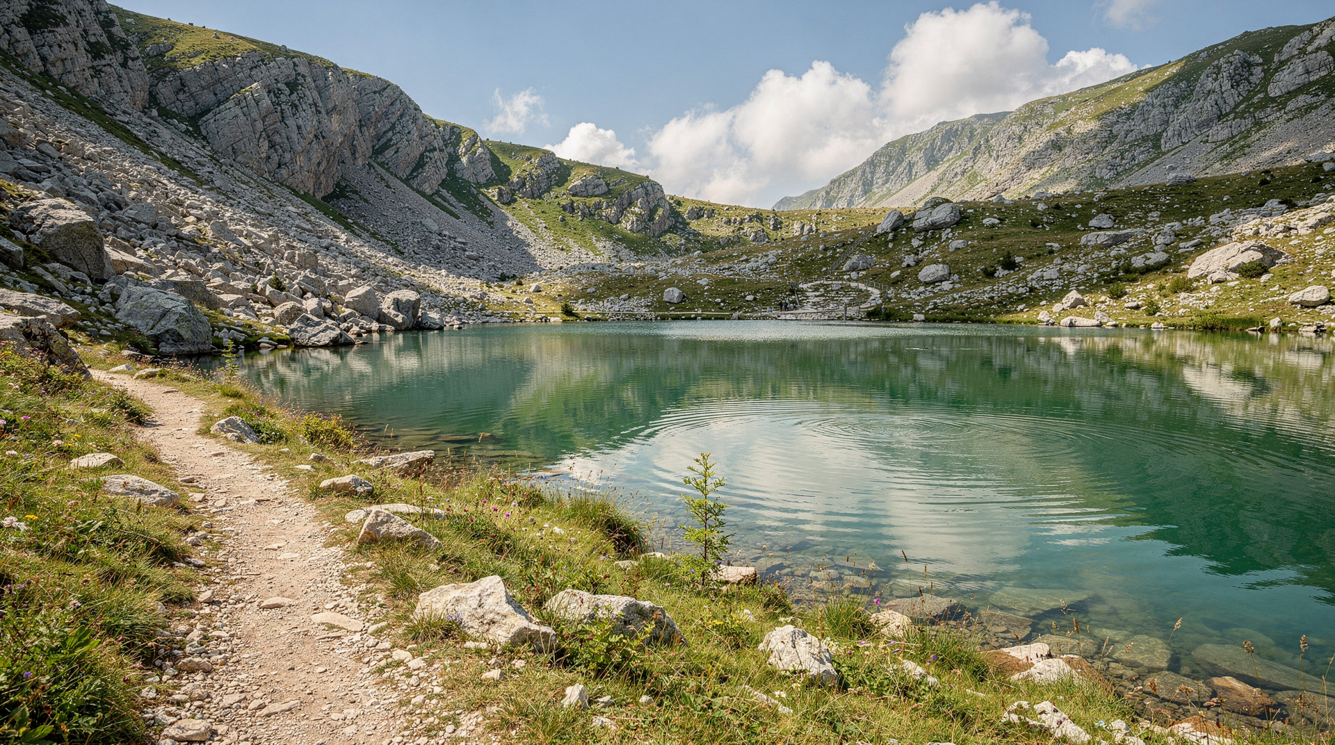
Phase 3: Trnovačko Lake (optional detour — 1h from the main trail junction) — A lateral trail drops to the lake basin. The heart shape of Trnovačko Lake is best seen from the approach trail above it. From the lakeside, the view is of dark water surrounded by grey and white limestone cliffs. See the Trnovačko Lake guide for this section in detail.
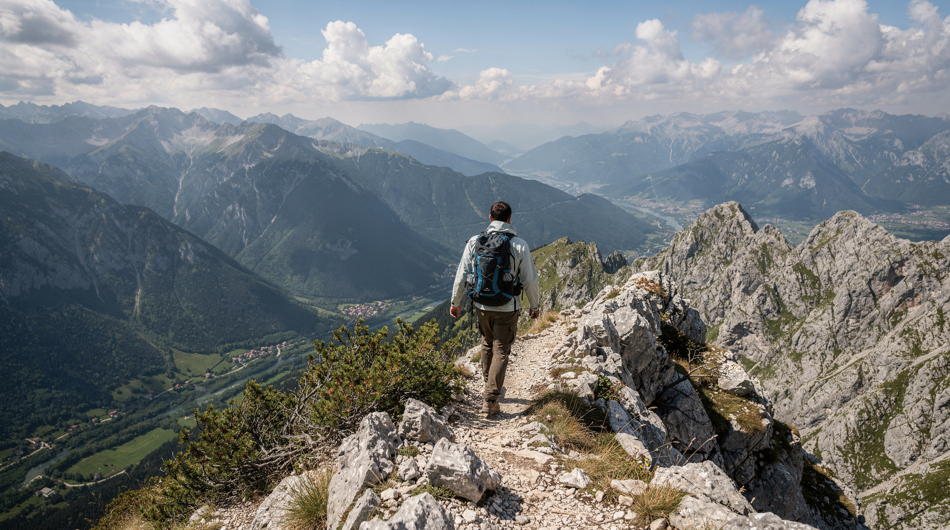
Phase 4: The upper ridge (1-1.5h) — Returning to the main trail, the final section to the summit crosses exposed limestone ridgeline. The path is clear but the wind exposure can be significant — even in summer, gusts exceed 30-40 km/h on the ridge. This is where lightning risk is highest; start early and turn back if clouds build before you reach the top.
The summit (Maglić, 2,386m) — The summit cairn marks the exact BiH-Montenegro border. On a clear day the view extends to the Adriatic on the south horizon, the Sarajevo valley to the northwest, and the Durmitor massif (Montenegro) filling the southeast horizon. The Tara canyon is visible below — the same canyon you could be rafting tomorrow.
Descent
Return by the same route. Allow 2.5-3 hours for the descent. Knees bear the load on the way down — trekking poles are strongly recommended.
Pacing the day
The most common mistake on Maglić is treating the first hour as a warm-up and then discovering that the second half of the route has no easy stretches left. The trail rewards a steady, unhurried rhythm from the very first step: short stops for water, a longer break at the treeline where the views open up, and a clear mental turnaround time agreed before you leave the trailhead. If you have not reached the upper ridge by the time you set for yourself, the sensible decision is to enjoy the lake or the alpine meadows and come back another day. The mountain is not going anywhere, and a descent in tired legs and building cloud is where most avoidable problems begin.
Carry more water than you think you need, because there is no reliable place to refill once you leave the forest. Pack layers as well: the valley can feel warm and sheltered while the ridge is cold and windy, and the temperature change between the two is part of what surprises first-time visitors. A light waterproof shell, a hat and gloves weigh very little and make the summit stop far more pleasant.
What to expect underfoot
The lower section is a forest path with roots and loose stones, and it can be slippery after rain. Above the treeline the surface changes to grass, scree and bare limestone, which is hard on ankles and tough on the soles of cheap shoes. Proper hiking boots with good grip are not a luxury here. Expect the upper ridge to feel more open and more serious than the approach, with real drops on either side in places, so anyone uneasy with exposure should consider stopping at the lake instead.
Getting to the trailhead
Tjentište sits deep inside the Sutjeska valley, and the journey there is part of the experience. Most visitors arrive by car through the mountains, and the roads are winding and slow in places, so allow generous time and avoid arriving after dark. If you are comfortable behind the wheel, the driving in Bosnia guide covers road conditions and habits worth knowing, and the renting a car in Bosnia guide explains what to check before you collect the keys. Without a car, a guided tour is the practical answer, since there is no direct public transport to the park.
Many hikers prefer to sleep near the trailhead the night before. That removes the long early-morning drive, lets you start fresh at first light and gives you a buffer if the weather turns. Staying overnight also makes it easy to explore the surrounding park the next day, including the ancient forest described in the Perućica primeval forest guide and the wider Sutjeska National Park destination page.
Guided tours from Sarajevo
Guided Maglić ascent with Trnovačko Lake from Sarajevo handles transport and provides an experienced mountain guide. Typically a full day (07:00 departure, 21:00-22:00 return).
For a multi-day approach combining Maglić with other Sutjeska highlights: Trnovačko Lake and Sutjeska-Maglić trekking expedition runs as a 2-3 day trip combining Lukomir, the Sutjeska park and the Maglić summit.
Trnovačko Lake: the heart-shaped jewel
Trnovačko Lake is arguably the most photogenic destination in Bosnian hiking. The lake sits in a glacial cirque at 1,669m, its heart-shaped outline visible from the trail above. The water is deep blue-green in summer and utterly clear; the surrounding limestone cliffs create a theatrical frame.
The lake can be visited without continuing to the Maglić summit — a worthwhile goal in itself for those who want a shorter day. From Tjentište the round trip to the lake and back takes approximately 5-6 hours.
See the dedicated Trnovačko Lake hike guide.
Combining Maglić with Tara rafting
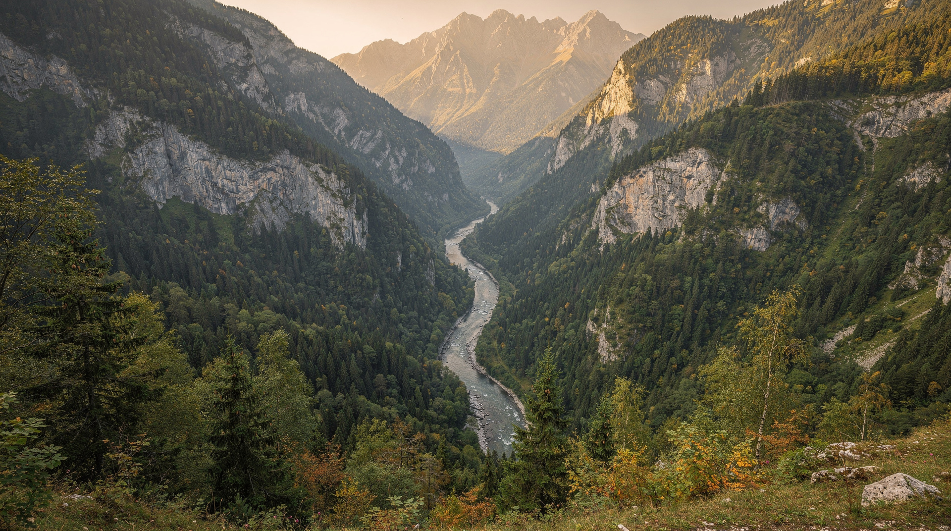
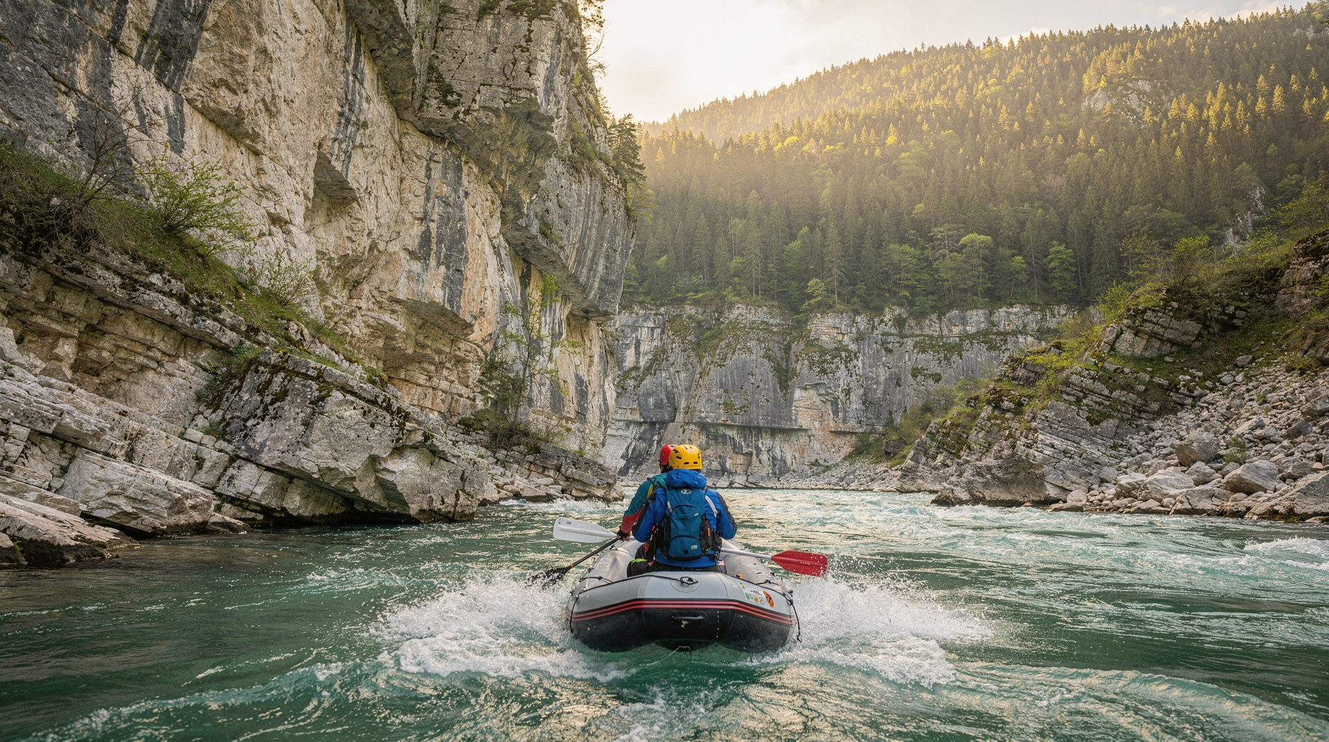
The Tara canyon — the deepest river gorge in Europe — runs directly below the Maglić-Sutjeska massif. Combining a Maglić ascent with Tara rafting is one of Bosnia’s great two-day adventure combinations:
Day 1: Drive from Sarajevo to Tjentište, ascend Maglić, overnight at Tjentište Day 2: Morning drive to Šćepan Polje, afternoon Tara rafting, return Sarajevo
Several operators in Sarajevo offer this as a packaged multi-day adventure. See the Tara River rafting guide for the rafting details.
Safety and preparation
Weather: Mountain weather near the Tara canyon region is highly changeable. Afternoon thunderstorms are common June-August. Start no later than 07:00 to reach the summit and begin descent before storm time (typically 13:00-16:00).
Fitness level: Maglić requires good cardiovascular fitness. If you can comfortably walk 15 km with 500m elevation gain, you are ready for the Tjentište-Trnovačko section. The full summit adds another 700m and tests endurance.
Navigation: The trail is marked with cairns and painted blazes, but in cloud or poor visibility it can become difficult to follow on the upper limestone. Download the GPS track from the Via Dinarica app or a Bosnian hiking portal before departing. Your guide will have navigation covered if using a guided tour.
Landmine safety: Sutjeska National Park’s marked trails are confirmed safe. The park borders areas where wartime fighting occurred. Do not leave marked trails under any circumstances. The park authority employs rangers who know current conditions. See the landmine safety in Bosnia guide for the full picture on where risk does and doesn’t exist.
Emergency: Sutjeska National Park has a rescue service but response times are long due to remoteness. Leave your route plan with park rangers at Tjentište.
Choosing your season
The table below summarises access, but the character of the hike changes a great deal from month to month. Early summer brings fresh green meadows and the chance of lingering snow patches, which can be beautiful but make the upper ridge slower and more demanding. High summer offers the longest days and the most reliable footing, along with the greatest risk of afternoon storms; the Bosnia in summer guide gives wider context on heat and crowds elsewhere in the country. Early autumn is the favourite of many regular hikers, with settled air, clear distances and colour creeping into the forest, as described in the Bosnia in autumn guide. For a broader view of timing across the whole country, see the best time to visit Bosnia guide.
Where Maglić fits in a bigger trip
Maglić works well as the high point of a hiking-focused journey. Pair it with a gentler day among the lakes of Zelengora, or with the rugged scenery of the Prenj mountain guide, for a week that shows how varied Bosnia’s mountains are. Long-distance walkers can place it within the broader Via Dinarica in Bosnia guide, and anyone building a wider active holiday will find a ready-made structure in the Bosnia adventure itinerary. If you want a first-hand account of the same landscape in another season, the autumn colours in Sutjeska story is a good companion read.
Travellers often ask whether a hike like this is sensible in a country with a wartime past. The short answer is yes, provided you respect the basic rules: stay on marked trails, follow ranger advice and avoid improvising shortcuts. The is Bosnia safe guide puts the broader picture in perspective, and nothing about the standard Tjentište route should put off a prepared walker.
Seasonal access
| Period | Conditions | Summit feasibility |
|---|---|---|
| June | Snow clearing | Check conditions; Trnovačko usually accessible |
| July-August | Best conditions | Summit accessible; start early for weather |
| September | Excellent | Optimal month — stable, clear, less crowded |
| October | Cooling | Summit still feasible; check forecast |
| November-May | Snow | Summit closed; approach dangerous |
Maglić is a challenging but achievable objective for any reasonably fit hiker. The combination of Bosnia’s highest summit, Europe’s most photogenic glacial lake and one of the continent’s deepest river canyons makes this corner of Sutjeska National Park the most rewarding outdoor destination in the western Balkans. For a gentler introduction to the park’s terrain, or to plan a wider trip, see the hiking in Bosnia guide; hikers chaining multiple summits often add the Zelengora lakes to a Sutjeska itinerary.
Frequently asked questions about Maglić mountain climb
How high is Maglić mountain?
Is climbing Maglić difficult?
What is Trnovačko Lake?
How do I get to Sutjeska National Park from Sarajevo?
Can I climb Maglić independently?
Is there anywhere to stay inside Sutjeska National Park?
Do I need a guide to hike Maglić safely, including landmine risk?
Top experiences
Bookable activities with verified prices and instant confirmation on GetYourGuide.