Trnovačko Lake hike guide
Climbing Mount Maglić: Visit to Trnovačko Lake
How do I hike to Trnovačko Lake in Bosnia?
Start from Tjentište in Sutjeska National Park (3h drive from Sarajevo) and hike 9 km (3-4 hours) through beech forest and alpine meadows to the heart-shaped glacial lake at 1,669m. Moderate difficulty. Full day from Sarajevo. Combine with Maglić summit (add 3-4 hours) for a longer adventure.
Trnovačko Lake is Bosnia’s most photographed mountain lake and one of the country’s most emblematic natural landmarks. Its near-perfect heart shape — visible from the approach trail above the lake basin — has made it an icon of Bosnian adventure travel, while the setting inside Sutjeska National Park, surrounded by grey limestone cliffs and subalpine meadows, makes the hike to reach it one of the most rewarding in the western Balkans.
| At a glance | |
|---|---|
| Where | Sutjeska National Park, eastern Bosnia, around 150 km from Sarajevo |
| Cost | Park access is generally free; guided day tours from Sarajevo run around 60-100 EUR including transfer |
| Time needed | A full day from Sarajevo (around 3h drive each way plus 5-6 hours hiking) |
| Getting there | Self-drive via Foča, or a guided tour with transfer (no practical public transport) |
| Best time | Mid-June to mid-October, with July-September the most reliable window |
The heart-shaped lake: formation and setting
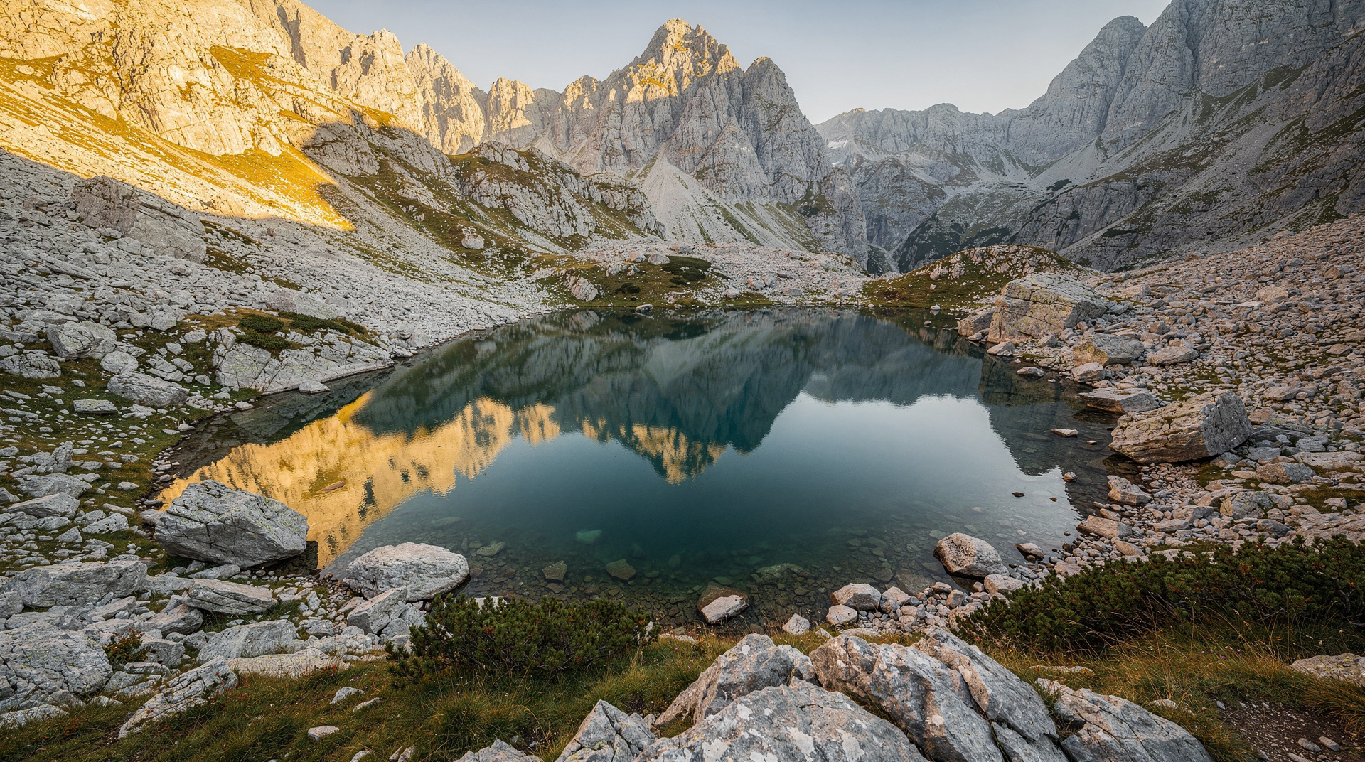
Trnovačko Lake formed at the end of the last ice age when a glacier retreated from a hollow carved in the Sutjeska massif, leaving a lake basin that filled with meltwater. The specific shape — broad at the top, tapering to a point at the lower end — is entirely natural, the result of the original cirque’s irregular erosion pattern.
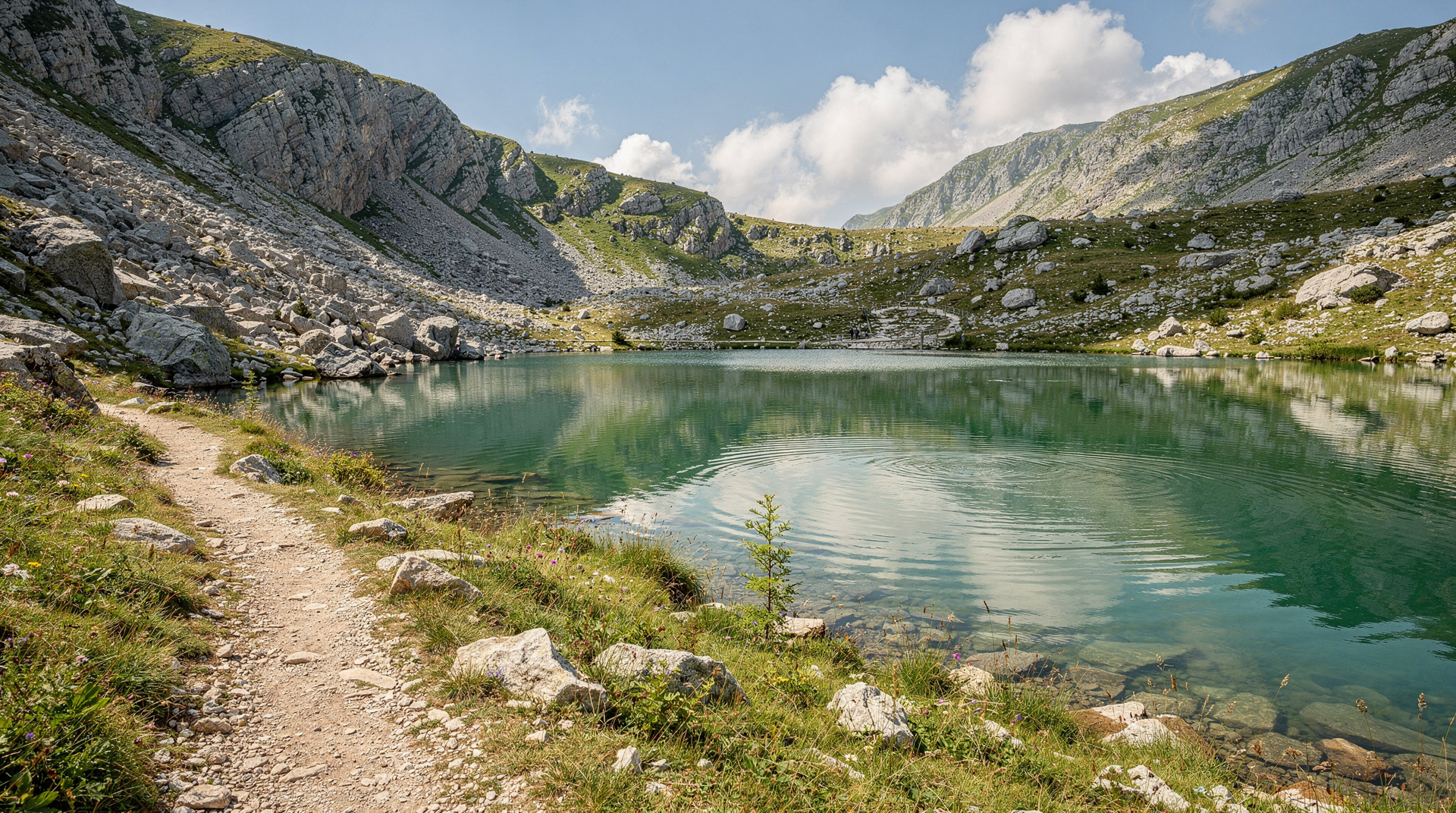
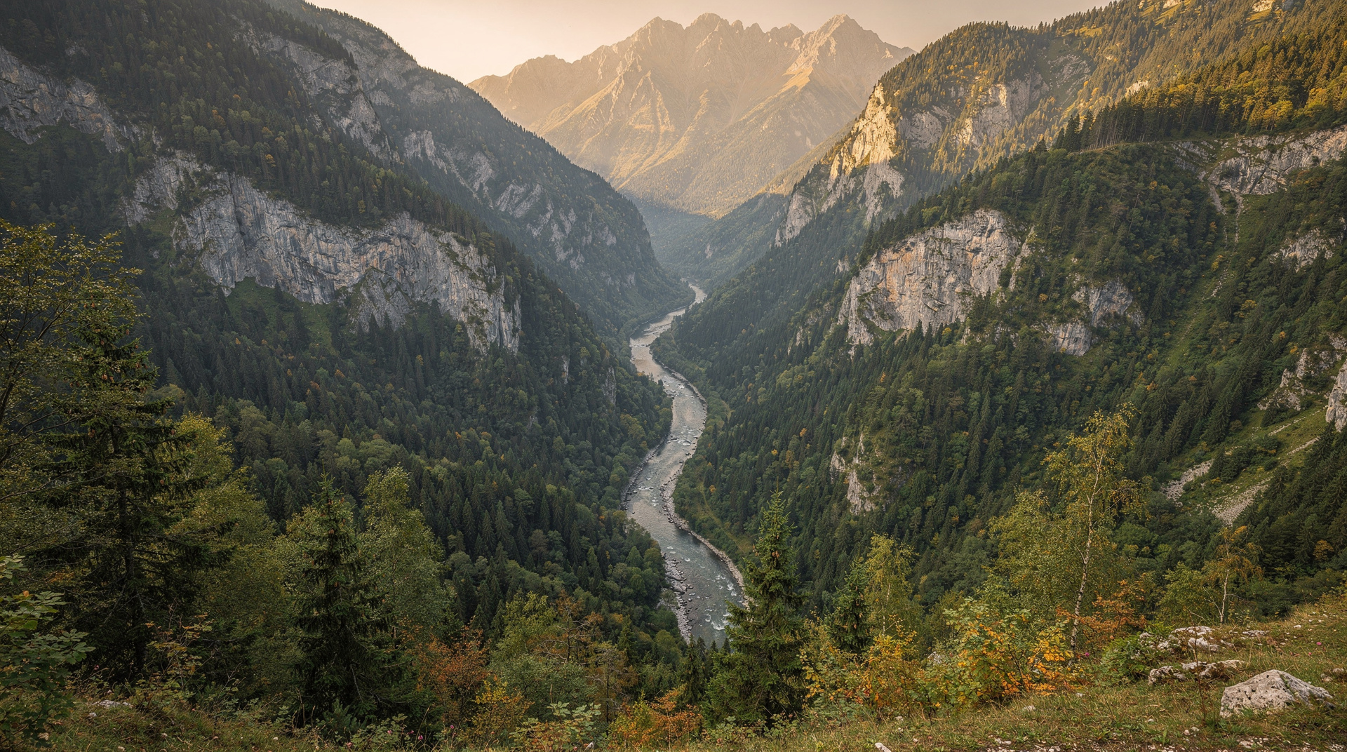
The lake sits at 1,669m in a glacial cirque between the Maglić massif and the Volujak summit. The surrounding cliffs rise steeply, keeping the basin shaded in the morning and giving it an enclosed, secret-garden quality. The water colour shifts from pale turquoise at the edges to deep blue-green in the centre.
The hike from Tjentište
Getting to Tjentište
Tjentište is the main visitor centre of Sutjeska National Park, approximately 150 km from Sarajevo via Foča. By car, allow 3 hours. There is no direct public transport from Sarajevo; a guided tour with transfer is the easiest approach.
Guided Trnovačko Lake and Maglić ascent from Sarajevo covers both the lake visit and the summit option on a full-day or two-day tour with transfer included.
The route
Trailhead: Tjentište camp/hotel area (820m)
Phase 1: Valley and forest (1-1.5h, 4.5 km) — The trail begins in the Sutjeska valley, crossing the river and climbing immediately into dense beech forest. The path is well-marked with red and white blazes. The forest section is the coolest and most sheltered part of the hike — in July, temperatures under the canopy are 5-8°C below the sunny meadows above.
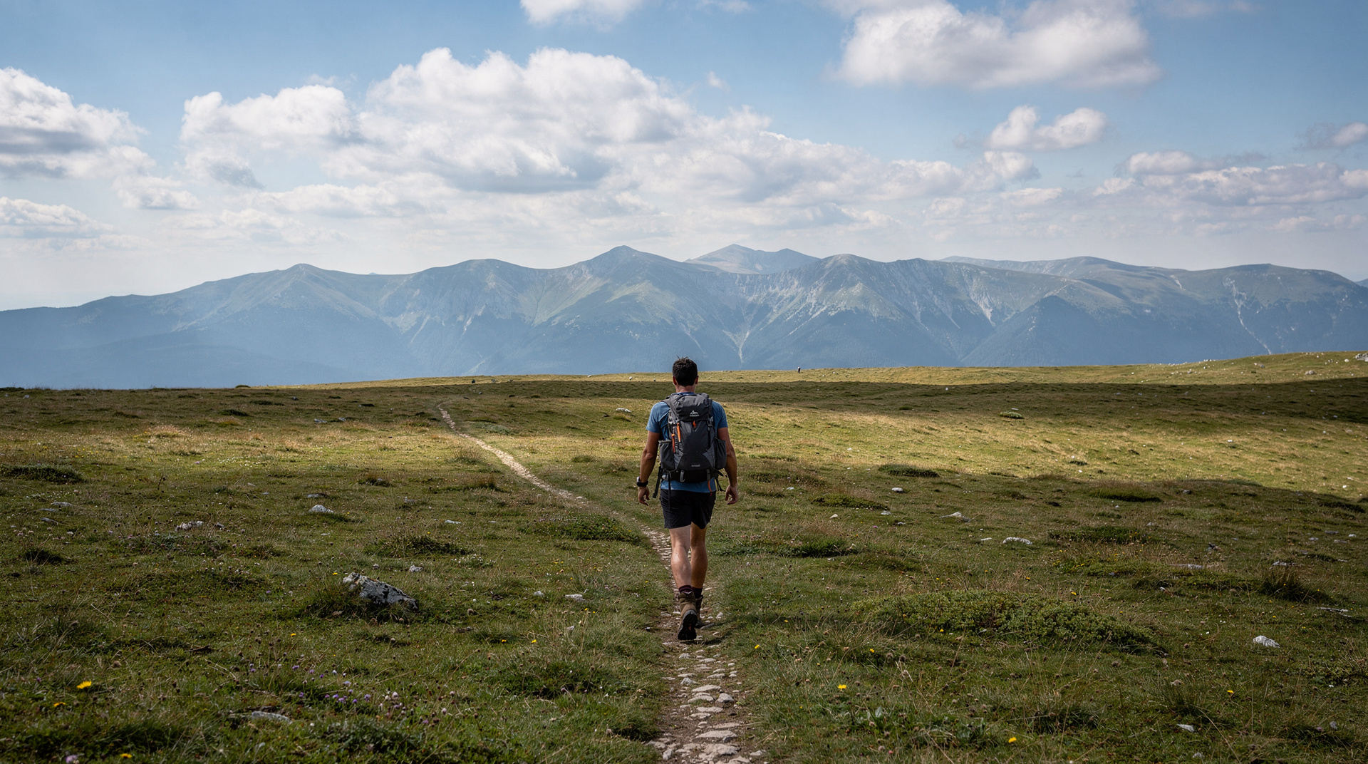
Phase 2: Forest edge to alpine meadows (1h, 2 km) — The trail climbs steeply through the transition zone where beech gives way to dwarf pine and then open alpine grassland. Views begin opening up — south toward Montenegro’s Durmitor massif, east toward the Tara canyon.
Phase 3: Approach to lake basin (30-45 min, 2.5 km) — The trail contours around the upper slopes to reach the view point above the lake basin. This is where the heart shape becomes visible: looking down from approximately 1,750m, the lake’s outline is unmistakeable. The final descent to the lakeshore is short.
At the lake: The lakeshore is rocky, with occasional flat areas suitable for a rest and lunch. In July-August, the temperature at 1,669m is typically 12-18°C — refreshing after the climb. Swimming is possible and many hikers take the plunge.
Return: Retrace the route. The descent to Tjentište takes approximately 2.5-3 hours.
Total: 8-9 km round trip, 850m elevation gain, 5-6 hours moving time.
Combining with Maglić summit
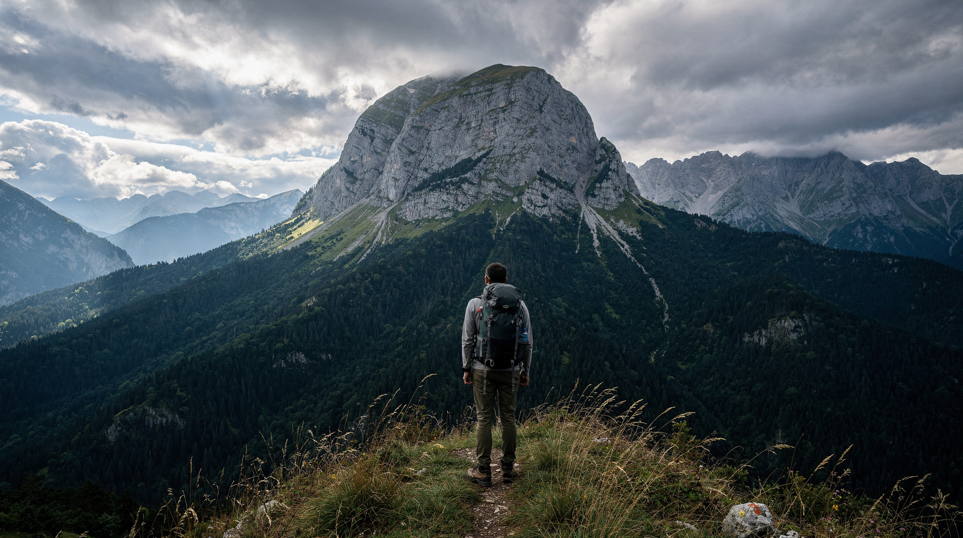
The Maglić ascent route continues beyond Trnovačko Lake, climbing another 700m of elevation to the 2,386m summit. Adding the summit to a Trnovačko Lake day requires:
- An early start (07:00 from Tjentište)
- Good fitness — the combined round trip is 18-20 km with 1,566m elevation gain
- Ideal summer weather (clear morning forecast; thunderstorm risk by afternoon)
- Full hiking kit including warm layer
The Maglić mountain climb guide covers the full summit route in detail.
Most guided tours from Sarajevo offer either a Trnovačko Lake-only day or a combined Trnovačko + Maglić package. The lake-only option works well for fit recreational hikers; the combined version is for those with mountain experience.
Multi-day Sutjeska trekking covering Trnovačko Lake and Maglić is the best option for those who want to do both properly without rushing.
The Volujak alternative
For experienced hikers who want a slightly quieter route, Volujak (2,336m) is Sutjeska’s second peak and can be ascended via a different approach from the main trail. Trnovačko Lake is visible from the Volujak ridge as well, offering a different perspective. This route is less marked and requires GPS navigation.
Pacing the climb: how the day unfolds
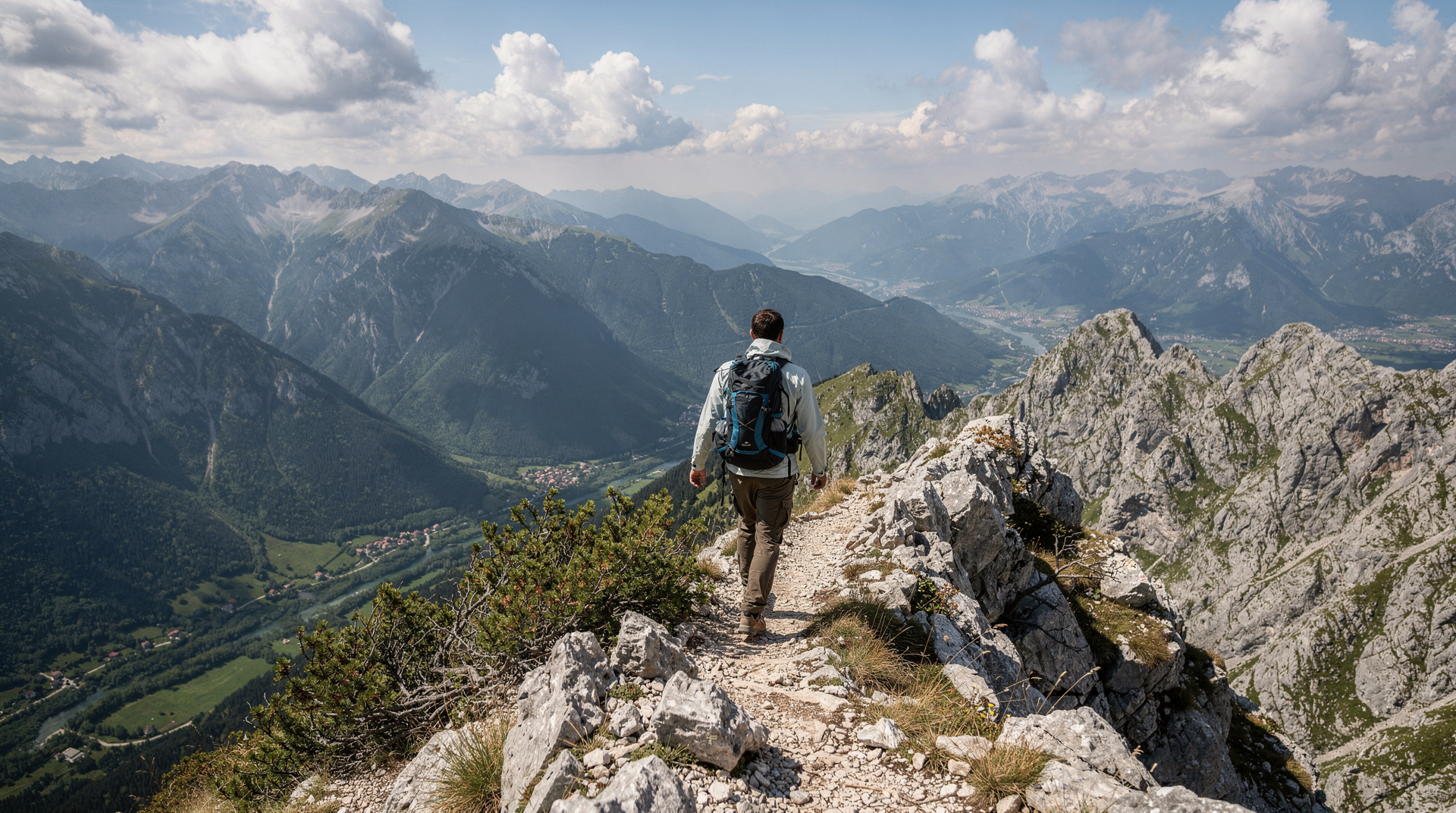
The hike rewards a steady rhythm more than speed. The first stretch through the beech forest is where most people start too fast; the climb is continuous, and the steep section above the tree line arrives when your legs are already warm. Settle into a pace where you could still hold a conversation, take short breaks at the forest edge rather than on the open slope, and drink small amounts regularly instead of waiting until you are thirsty. Hikers who treat the forest as a warm-up and save their energy for the meadows tend to reach the lake feeling good rather than drained.
The weather in the Sutjeska massif can change faster than the forecast suggests. Mornings are usually the clearest, so an early start from Tjentište serves two purposes: it gives you the quietest trail and the best light, and it leaves a comfortable margin for the descent. If clouds build over the ridges while you are still climbing, turn the day into a lake-only visit and leave the summit for another trip. The best time to visit Bosnia guide explains how mountain weather differs from the lowlands, which matters when you leave Sarajevo in sunshine and arrive under cloud.
Photographing the heart shape
The heart outline is only legible from above, so the famous view is not taken from the lakeshore. Plan to pause at the viewpoint on the approach trail, before the final descent, and take your wide shots there. Once you are down at the water, the picture changes: the interest shifts to the reflections, the pale-to-deep colour gradient in the water and the limestone cliffs that close in around the basin. Early and late light flatter the cliffs, while midday sun tends to wash out the colour of the water.
Be considerate at the viewpoint. In peak season it is a small space and everyone wants the same frame, so take your photographs, then step aside for the next group. A short wait is usually enough to get the shot without strangers in it. If you want a calmer atmosphere, the shoulder months described in the Bosnia in autumn guide and the trip report on autumn colours in Sutjeska show what the park looks like once the summer crowds thin out.
Turning the hike into a longer Sutjeska trip
Many visitors treat Trnovačko Lake as a single outing, but the park repays a slower approach. A night in the area lets you start the hike fresh instead of after a long drive, and it frees the following day for gentler activities such as the Perućica primeval forest or the memorial at the park entrance. If you are driving, the practical advice in the driving in Bosnia guide and the car rental guide will help you plan the mountain roads and fuel stops before you leave the main towns.
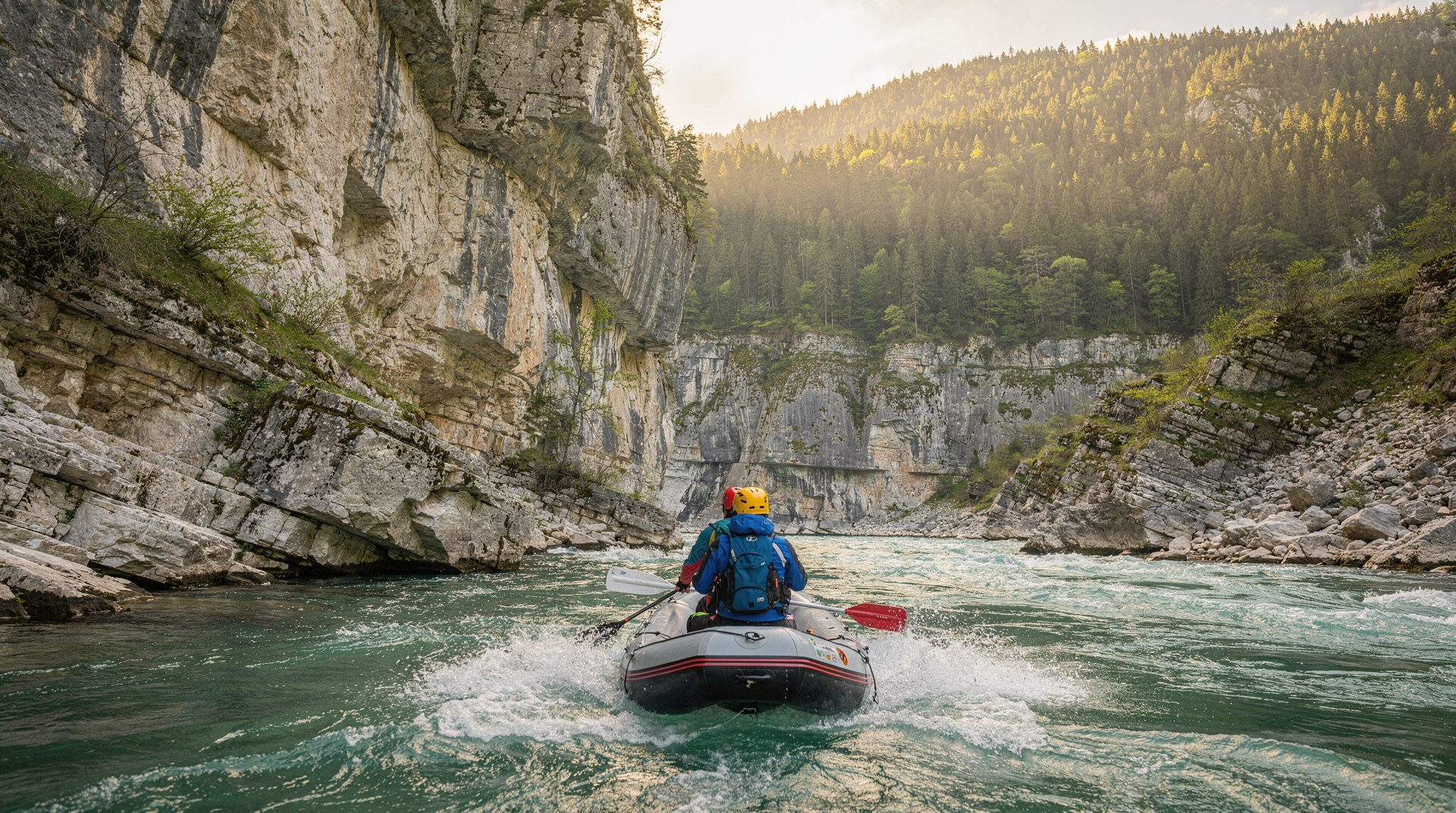
The lake also fits neatly into a wider adventure loop. After the hiking, the nearby canyon is a natural next stop for anyone interested in the Tara river rafting guide, and the Sutjeska National Park destination page lists the other places that sit within easy reach. Hikers who enjoy this kind of terrain may also want to look at the Prenj mountain guide for a more demanding objective elsewhere in Bosnia.
When to go: a season-by-season view
| Period | Conditions | Verdict |
|---|---|---|
| Late May - mid-June | Snow can linger in the basin; trail can be muddy | Possible but check with the ranger station first |
| July - August | Warmest, most crowded, best swimming | Best window for most hikers, book transport ahead |
| September | Cooler, clearer air, fewer hikers | Arguably the best month — good visibility, quieter trail |
| Early-mid October | Cold mornings, shorter days | Fine for the lake-only hike; skip the Maglić extension |
| Mid-October onward | Snow risk, park may restrict access | Avoid unless confirmed open |
Comparing Trnovačko Lake with Bosnia’s other alpine lakes
Trnovačko Lake is often mentioned alongside the Zelengora lakes further north in the same national park. The two make a natural comparison for anyone planning a longer Sutjeska stay: Trnovačko is a single dramatic lake reached in a single day, ideal for visitors with limited time, while Zelengora is a multi-lake plateau better suited to a 2-3 day traverse for hikers who want to camp among the lakes rather than return to Tjentište each night. Both sit within the broader Sutjeska National Park and can be combined on a longer trip, and both connect to the Via Dinarica White Trail for those continuing further afield.
Sutjeska National Park: what else to see
The hike to Trnovačko Lake is the most popular activity in Sutjeska, but the park offers more:
Perućica primeval forest: One of the last two European primeval forests, accessible only on guided tours. Ancient beeches over 50 metres tall, deadwood in quantities banned from most European forests, and a silence that feels genuinely prehistoric. Book at the Tjentište park office.
Skakavac waterfall: A 98-metre free-fall inside the Perućica forest — Bosnia’s highest waterfall. Only accessible on the guided Perućica tour.
Tjentište War Memorial: The dramatic Brutalist monument at the park entrance commemorates the 1943 Battle of Sutjeska, when Tito’s Partisans broke through a combined German-Italian-Ustasha encirclement. The monument’s abstract concrete wings have become an icon of Yugoslav architectural ambition.
Sutjeska River canyon: The river cuts through the park in a narrow, fast gorge below the main road. Fishing (strictly regulated) and short gorge walks are possible.
The Sutjeska national park guide covers the park comprehensively.
Practical information
Getting there
- By car from Sarajevo: Via Foča (M-20/M-18 road). Approximately 3 hours. Parking at Tjentište.
- By guided tour: Several Sarajevo operators offer Sutjeska day trips and multi-day packages. Strongly recommended if you do not have a car.
Accommodation
- Dom na Tjentištu: The main park hotel at Tjentište. Book well in advance for July-August. Prices approximately 70-120 BAM (35-60 EUR) per person per night.
- Camping: A campsite adjacent to the hotel. Approximately 15-25 BAM (8-13 EUR) per pitch.
- Foča: 30 km from the park, with more accommodation options. Good base for a 2-3 day park visit.
What to bring
- Hiking boots with ankle support
- 2.5 litres of water minimum (no sources between Tjentište and the lake)
- Full lunch (no cafés on route)
- Warm fleece and waterproof jacket (lake basin is exposed)
- Sunscreen and hat
- Trekking poles (recommended for rocky descent sections)
Landmine safety
Sutjeska National Park’s marked trails are confirmed safe. The Tjentište-Trnovačko Lake-Maglić route is the main visitor trail and is regularly inspected. Stay on the marked trail throughout — do not shortcut across unmarked terrain or explore adjacent hillsides. The park staff will brief you on current conditions at the Tjentište reception.
Trnovačko Lake rewards every effort required to reach it. The combination of the heart-shaped form, the limestone amphitheatre setting and the broader Sutjeska wilderness context makes it one of the genuinely unmissable destinations on any serious Bosnia itinerary. For a wider frame on where this fits in a Bosnia trip, see the hiking in Bosnia guide and consider pairing it with a longer Bosnia itinerary that gives Sutjeska proper time.
Frequently asked questions about Trnovačko Lake hike
Why is Trnovačko Lake called the heart lake?
How difficult is the hike to Trnovačko Lake?
Can I swim in Trnovačko Lake?
Is there a hut or café at Trnovačko Lake?
When is Trnovačko Lake accessible?
Is Trnovačko Lake inside Sutjeska National Park?
Do I need a guide to hike to Trnovačko Lake?
What is the closest town with more services than Tjentište?
Top experiences
Bookable activities with verified prices and instant confirmation on GetYourGuide.