Sutjeska National Park guide
Private Tour from Sarajevo: Sutjeska National Park
What is Sutjeska National Park and what can I see there?
Sutjeska is Bosnia's oldest national park (1962), in the mountains of eastern Bosnia near the Montenegro border. Key attractions: Perućica — one of Europe's last primeval forests — Maglić (Bosnia's highest peak at 2,386m), the emerald Trnovačko Lake, Skakavac waterfall (75m), and the Sutjeska River canyon.
Sutjeska National Park is Bosnia’s wildest corner — a high-mountain landscape of ancient forest, glacial lakes, deep river canyons, and the country’s highest peak, largely unchanged since before the First World War. It is less visited than the parks of neighbouring Croatia or Slovenia, not because it is less impressive but because reaching it requires effort. That effort is what makes it rewarding.
| Where | Eastern Bosnia, on the Montenegro border, around 180 km from Sarajevo |
| Cost | Park entry around 5-10 BAM per person; guided day tours typically 60-100 EUR |
| Time needed | A full day for Perućica and the canyon; 2-3 days if adding Maglić and Trnovačko Lake |
| Getting there | Around 3-4 hours by car from Sarajevo via Foča; no reliable public bus to the park entrance |
| Best time | July-September for hiking and Maglić; Perućica accessible May-October; Skakavac most impressive April-June |
The park at a glance
Established in 1962, Sutjeska National Park covers 17,500 hectares in the Dinaric Alps of eastern Bosnia, immediately north of the Montenegro border. The landscape rises from the Sutjeska River canyon (below 400m) to the summit of Maglić (2,386m) over a horizontal distance of barely 20km. The terrain is abrupt, the rivers fast, and the forest dense.
The park’s three main draws are distinct enough that each warrants a separate visit if time allows:
- Perućica primeval forest: one of the last remaining virgin forests in Europe
- Maglić and Trnovačko Lake: Bosnia’s highest peak and the “heart-shaped” glacial lake below it
- Sutjeska River canyon and Skakavac waterfall: a 75-metre waterfall accessible by a 2-hour trail
Perućica primeval forest
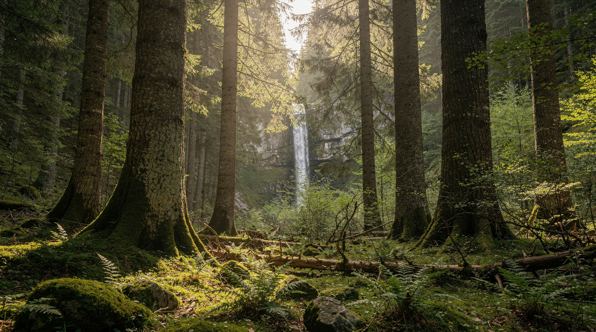
Perućica is extraordinary — a forest in which human intervention has been essentially zero for centuries. Trees that germinated before the Ottoman conquest of Bosnia still stand; fallen trunks decompose slowly over decades, feeding the next generation; the complex ecosystem of species that depends on truly old forest (rare woodpeckers, endemic fungi, cave invertebrates) is intact.
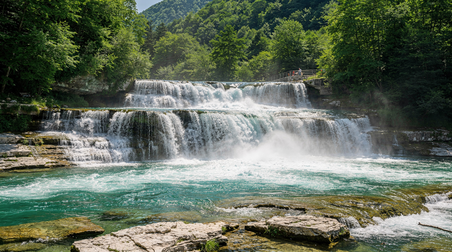
Access is strictly controlled to protect the ecosystem. Visitors follow a designated path into the reserve edge with a guide; independent deep entry is not permitted. The guided visit includes views of Skakavac waterfall (a 75-metre drop visible from the main viewpoint, one of the highest waterfalls in the western Balkans) and sections of old-growth beech and fir with trunks 2-3 metres in diameter.
The Perućica experience is more contemplative than spectacular — you are walking through something genuinely rare on the planet. More detail in the Perućica primeval forest guide.
Maglić mountain (2,386m)
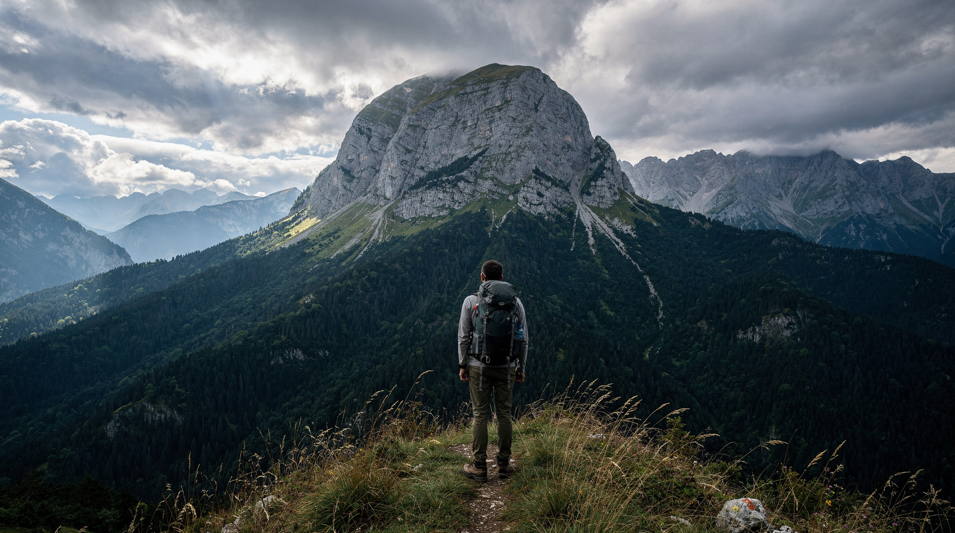
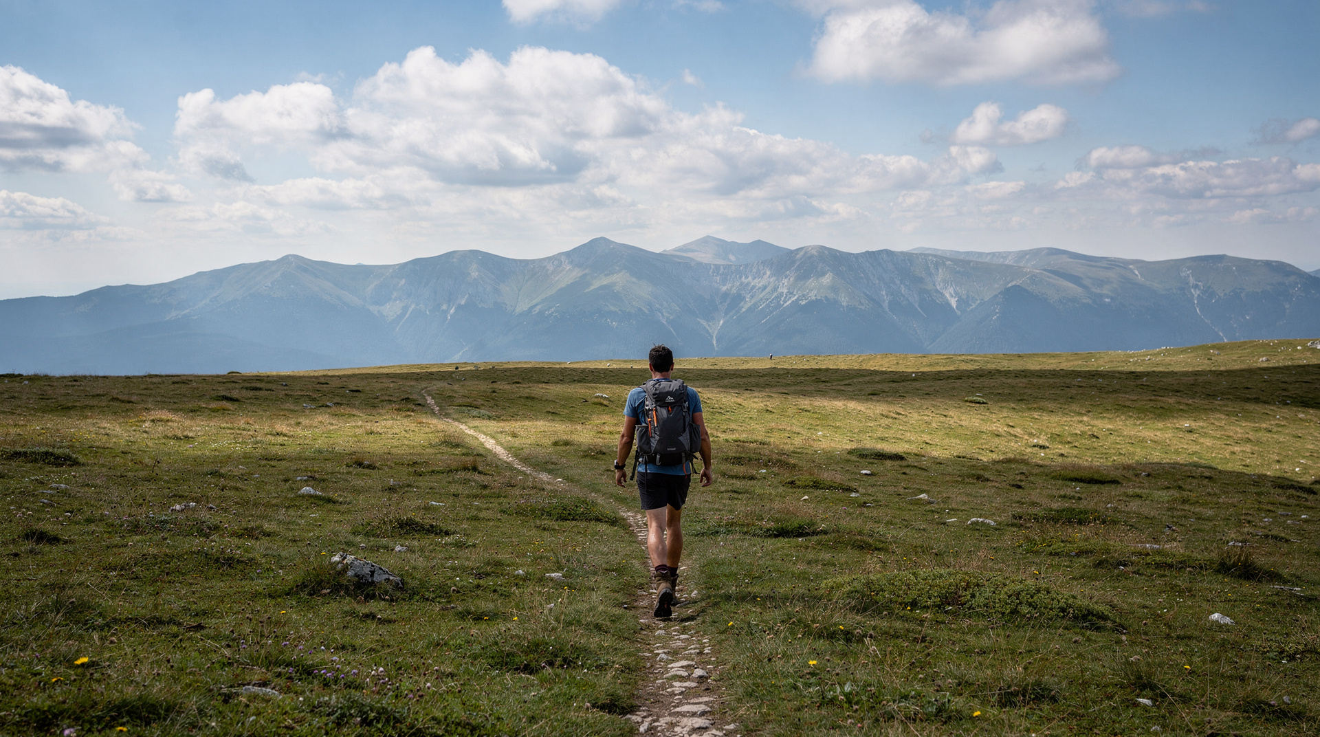
Bosnia’s highest mountain straddles the border with Montenegro. The main trail approaches from the Sutjeska valley floor, climbing through beech forest to a high alpine zone of limestone pavements, scree, and rocky ridges. The standard route takes 6-8 hours round trip.
From the summit, views extend across the Dinaric range into Montenegro, across the Zelengora plateau, and — on clear days — to the Adriatic coast. The summit is a border point; you will technically cross into Montenegro for a few metres at the top.
The guided Maglić trekking tour includes transport from a Sarajevo or Lukomir base, a local guide, all safety equipment, and a picnic lunch. It is the safest and most informed way to tackle the route.
Trnovačko Lake
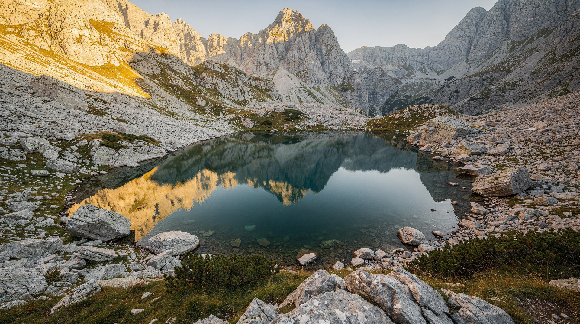
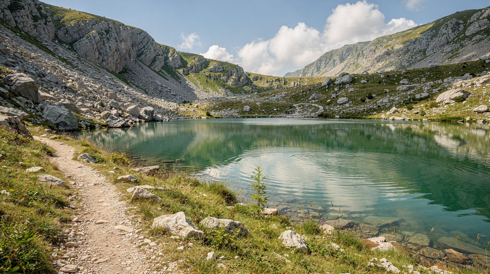
Trnovačko (or Trnovačko Jezero) is a glacial lake immediately below the east face of Maglić at approximately 1,500m altitude. Its reputation rests partly on its distinctive shape — from the ridge above, it appears heart-shaped — and partly on its extraordinary setting: dark still water in a glacial cirque surrounded by dramatic limestone walls.
The standard approach combines with the Maglić ascent (the lake sits on the route), or can be done as a separate day hike to the lake without the summit. Allow 4-5 hours for the lake-only route. More detail in the Trnovačko Lake guide.
Guided tours from Sarajevo
A private tour from Sarajevo to Sutjeska National Park covers the 3-4 hour drive each way plus a full park day — either focused on Perućica and the canyon, or on the mountain terrain. Private tours allow the itinerary to be tailored to your interests and fitness level.
The tour typically includes:
- Perućica forest entry and Skakavac viewpoint
- Sutjeska river canyon walk
- National Park visitor centre at Tjentište (WWII battle memorial and monument)
For the full mountain experience including Maglić ascent, the Sutjeska Maglić trekking tour is the specialist option.
The Tjentište memorial
The Sutjeska canyon saw one of the most brutal battles of the Second World War in May-June 1943, when Yugoslav Partisans broke through a massive German encirclement. The Tjentište WWII memorial, a monumental concrete sculpture from 1971, stands at the valley floor within the park. It is one of the most powerful pieces of Yugoslav-era monumental art in Bosnia.
Visiting the memorial changes how the rest of the park reads. The valley that now feels like pure wilderness was once a battlefield, and standing beneath the monument with the forest rising on every side gives the landscape a weight that no viewpoint can. If this history interests you, the Yugoslav wars explained and Bosnia history for travelers guides put the park’s story in its wider context, and the Bosnia war history itinerary shows how to build it into a longer route.
How to structure your time in the park
Sutjeska rewards a slow plan. The most common mistake is treating it as a quick photo stop on the way somewhere else; the park is built around long walks, changing light and quiet, and it needs at least one night nearby to feel unhurried.
If you have one day. Choose the valley rather than the mountains. Start early, take the guided visit into the edge of Perućica, walk the Skakavac viewpoint, spend time at the Tjentište memorial, and keep the afternoon loose for the river canyon. Resist the urge to add Maglić; a half-attempted summit day is worse than a well-paced valley day.
If you have two days. Sleep near Tjentište. The first day follows the one-day plan at a relaxed pace. The second is for the mountains: either the full Maglić route or the walk to Trnovačko Lake, starting at first light so the weather and your energy are both on your side.
If you have three days or more. Add the Zelengora lakes for a different mood, open meadows and still water instead of limestone and scree. The Perućica primeval forest guide, the Maglić mountain climb guide and the Trnovačko Lake hike guide each go deeper on one of these days.
What to pack and how to prepare
The park is remote, and the weather in the high Dinaric Alps can change quickly, even in the middle of summer. Pack as you would for any mountain day rather than a stroll in a forest.
- Sturdy hiking boots with good grip; the upper sections of Maglić are loose rock and the forest paths can be slick after rain
- Layers, including a waterproof shell and a warm mid-layer, because the summit and the valley floor feel like different climates
- Plenty of water and food for the whole day; there is nowhere to buy either once you leave the valley
- A charged phone, a downloaded offline map and a paper backup, since mobile coverage in the deep valleys is unreliable
- Sun protection for the open alpine sections, where there is very little shade
- Cash in local currency; see the Bosnia money and currency guide for how to handle it before you leave the cities
Tell someone at your accommodation where you are going and when you expect to be back. In a park this quiet, that simple habit is the best safety net you have. For wider preparation, the hiking in Bosnia guide covers trail etiquette, navigation and what to expect from marked routes across the country.
Getting to the park and moving around
The road to Sutjeska is long, winding and beautiful, and it is part of the experience rather than an obstacle. If you plan to drive yourself, read the renting a car in Bosnia and driving in Bosnia guide first: mountain roads, slow trucks and variable surfaces mean that the journey takes longer than the map suggests. Build in time for stops, and avoid arriving after dark if you can.
Without a car, the realistic options are a private tour or a guided trekking trip, which remove the logistics entirely. Travellers heading in from the coast should look at the Dubrovnik to Sarajevo route, which passes through the same broad part of the country and makes a natural base for a detour toward the mountains.
Why the park feels different
Many Balkan parks are known for a single spectacular sight. Sutjeska is different because it combines several kinds of landscape in a compact area: a deep river canyon, ancient forest, a waterfall, glacial lakes and the country’s highest summit. You can feel the change as you climb, from damp, shaded beech woodland to bare, wind-swept rock.
It is also quiet. Even in high season, the trails are not crowded, and it is common to walk for long stretches without meeting anyone. For travellers tired of busy old towns, that silence is the main reason to come. If you want to see how Sutjeska compares with other wild places, the Prenj mountain guide and the Via Dinarica Bosnia guide describe other high-mountain options, while the Sutjeska National Park destination page gathers everything about the area in one place.
Fitting Sutjeska into a longer trip
Sutjeska works best as a deliberate stop rather than a squeezed-in detour. Travellers with a week or more can slot it between the capital and the coast, using the Bosnia 7-day itinerary or the Bosnia adventure itinerary as a starting frame. The how many days in Bosnia guide helps decide whether you can afford the extra time, and the best time to visit Bosnia guide helps match your dates to the right season for the mountains. If you prefer to read a traveller’s account first, the autumn colours in Sutjeska story shows what the forest looks like when the leaves turn.
Zelengora plateau
The Zelengora range, west of Sutjeska and connected to the same park ecosystem, holds a series of glacial lakes (Donje Bare, Gornje Bare, Orlovačko Jezero) at 1,400-1,700m altitude, set in open alpine meadows surrounded by beech forest. It is gentler terrain than the Maglić massif and more suitable for multi-day walking. See the Zelengora lakes guide.
Practical notes
- Getting there: 4WD is not necessary but the roads within the park are mountain roads — fine for normal cars in dry conditions
- Accommodation: the Dom Sutjeska hotel at Tjentište is the main base within the park; basic mountain huts exist for multi-day hikers
- Food: the hotel restaurant and a small café at the park entrance are the only options; bring your own for hikes
- Park entry: approximately 5-10 BAM per person
- Season: July-September for hiking and Maglić. Perućica is accessible May-October. Skakavac is most impressive April-June.
- Landmine note: stay on marked trails — do not stray into unmarked forest areas. See the landmine safety guide for wider context on this issue in rural Bosnia.
Season by season
| Season | Conditions | What to expect |
|---|---|---|
| Spring (Apr-Jun) | Snowmelt, high water, lush greenery | Best for Skakavac waterfall; Maglić trail may still hold snow at altitude |
| Summer (Jul-Aug) | Warm, stable weather, longest days | Peak season for Maglić and Trnovačko Lake; book guides ahead |
| Autumn (Sep) | Cool, clear, golden forest colour | Good hiking conditions with fewer visitors than summer |
| Winter (Nov-Mar) | Cold, snow at altitude, some trails closed | Perućica and canyon roads may be accessible; high peaks not recommended without winter mountaineering experience |
Combining Sutjeska with the wider region
Sutjeska pairs naturally with a Tara River rafting day, since the put-in at Šćepan Polje sits at the edge of the same mountain region — some operators combine both into a single multi-day adventure. Travellers building a longer itinerary around Sarajevo’s mountains may also want to compare Sutjeska with the closer, more accessible best day hikes from Sarajevo, which don’t require the 3-4 hour drive. For those without a car, checking getting around Bosnia beforehand helps set expectations — this is one of the harder-to-reach parks in the country by public transport.
Frequently asked questions about Sutjeska National Park
How do I get to Sutjeska National Park from Sarajevo?
Can I hike in Sutjeska without a guide?
What is Perućica primeval forest?
What is Maglić mountain and is it hard to climb?
Is Sutjeska National Park safe regarding landmines?
Can I combine Sutjeska with Tara River rafting?
Is Sutjeska suitable for a day trip from Sarajevo?
Top experiences
Bookable activities with verified prices and instant confirmation on GetYourGuide.