Prenj mountain guide
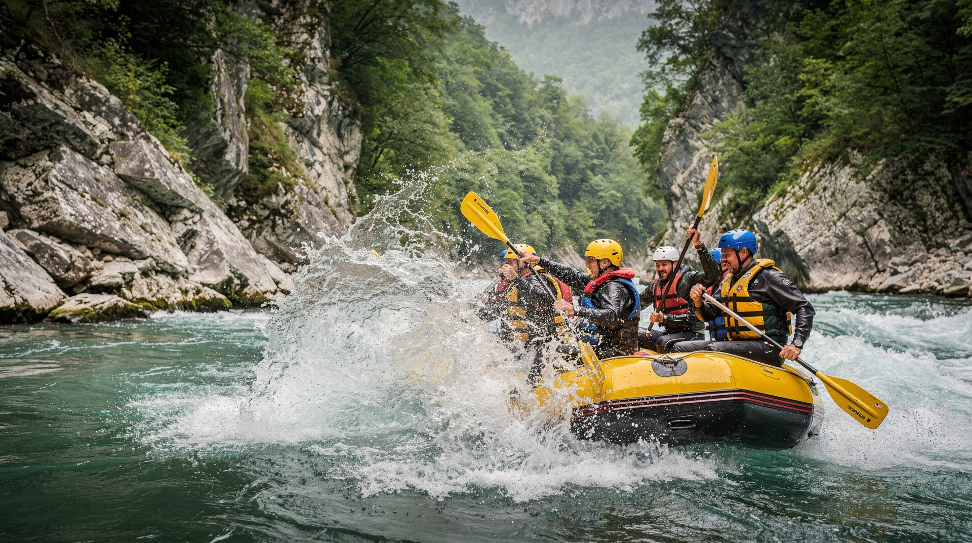
Konjic: Neretva River Rafting Adventure
What is Prenj mountain and why is it called the Bosnian Himalaya?
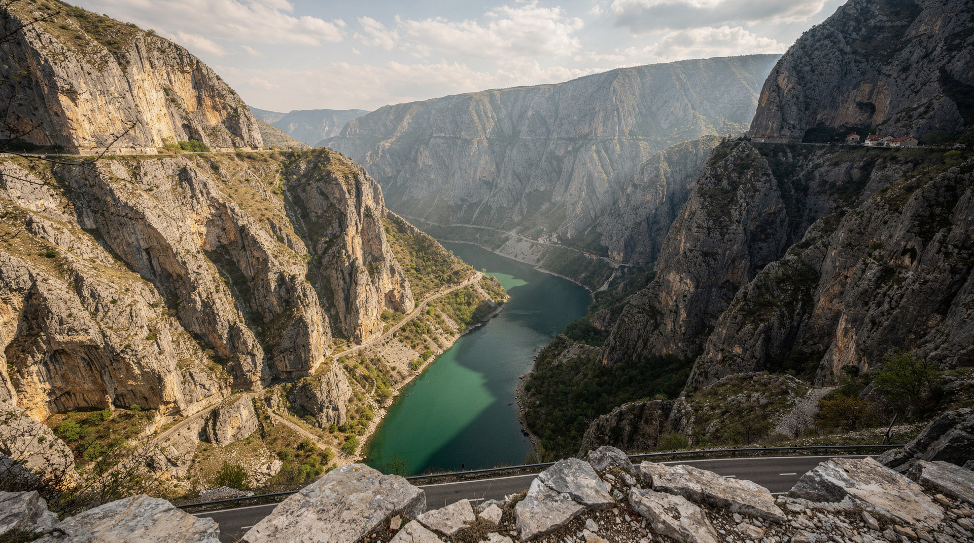
Prenj is a dramatic limestone massif south of Konjic, with multiple peaks above 2,000m and sharply serrated ridgelines that look (and feel) like a miniature Himalayan chain. The highest point is Zelena Glava (2,155m). The terrain is serious — loose rock, exposed ridges and scarce water — making it best suited to experienced mountain hikers.
At a glance
| Where | Prenj massif, south of Konjic, around 55km from Sarajevo |
| Cost | Free access; guides and rafting add-ons priced separately |
| Time needed | Half-day viewpoint hike to a 3-5 day full traverse |
| Getting there | Rental car to Konjic then onward to Boračko Lake or Neretva valley trailheads |
| Best time | July-September; snow and ice risk outside this window |
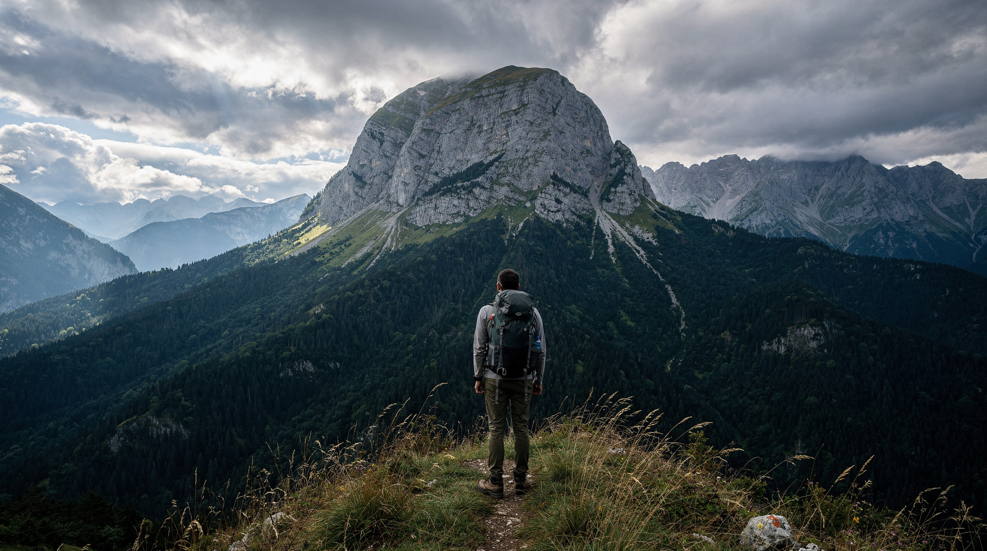
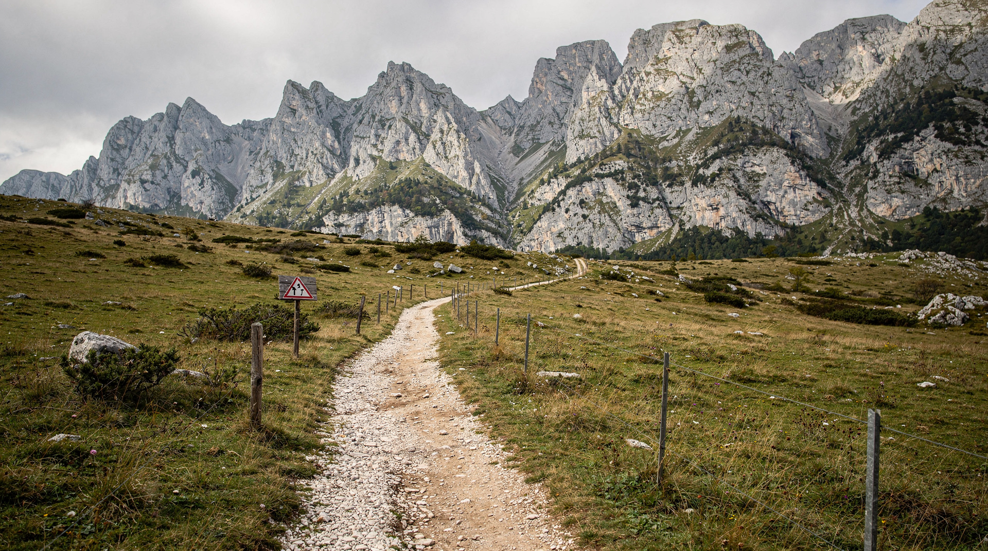
Prenj is Bosnia’s most dramatic mountain massif — a jagged chain of limestone peaks rising from the Neretva valley south of Konjic to ridgelines that genuinely deserve their local nickname: the “Bosnian Himalaya”. Not because the scale is Himalayan (the highest point, Zelena Glava, tops out at 2,155m), but because the character of the rock — grey, shattered limestone with vertiginous faces and exposed spires — gives the range a visual drama that exceeds most European mountain scenery.
Why Prenj is different
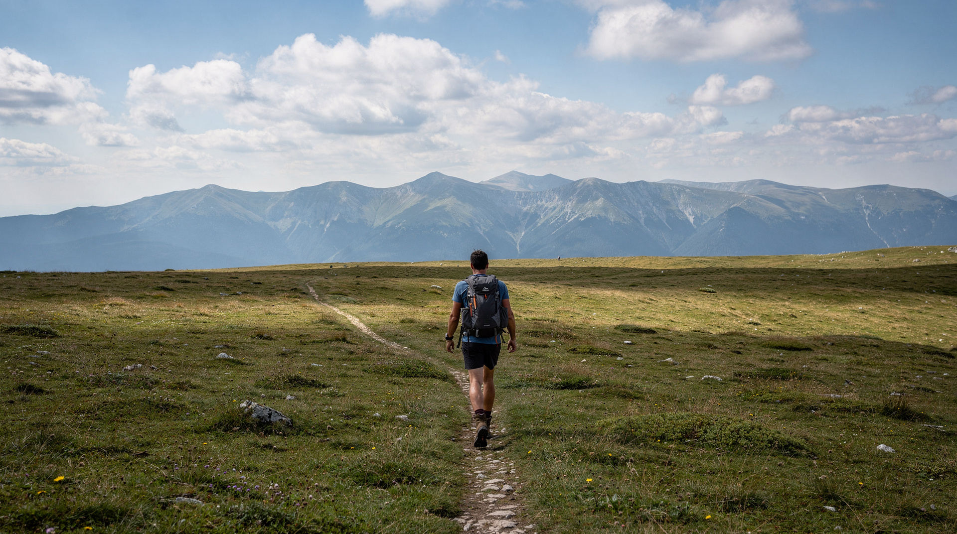
Most of Bosnia’s hiking mountains are essentially high plateaus with long views — Bjelašnica, Zelengora, the Sutjeska highlands. Prenj is the exception: a real alpine ridge with technical sections, genuine exposure, and a demanding physical and psychological character that has attracted Bosnian mountaineers since the late 19th century.
The mountain sees very few foreign visitors. Local mountain club (planinarsko društvo) members make up the vast majority of those who hike Prenj, and the combination of limited English-language information and genuine route-finding difficulty has kept it below the international hiking radar. This is precisely why experienced mountain hikers who find it generally rate it among their best European experiences.
Who Prenj suits, and who should wait
Prenj rewards a particular kind of traveller: someone who is comfortable reading a map, who has already spent days on rough mountain ground, and who enjoys the feeling of being far from any crowd. If your mountain experience so far is a few well-marked plateau walks, build up first. The Bjelašnica hiking guide and the best day hikes from Sarajevo are sensible stepping stones, and the Lukomir village hike teaches you how Bosnian mountain navigation feels before you commit to something more exposed. If you would rather walk it with someone who knows the terrain, a guided full-day hike to Lukomir village in a small group is a gentle way to test your mountain legs first.
It also helps to be honest about your tolerance for uncertainty. Information on Prenj is thinner than for most European ranges, conditions change from one season to the next, and nobody at a trailhead will check your plan. That is part of the appeal, but it means the planning burden sits entirely with you. Read the Bosnia safety guide for the wider context, and then treat the mountain itself as the real risk to prepare for.
The massif: geography and peaks
Prenj extends approximately 25 km north-south between the Neretva gorge (west) and the Boračko Lake area (east). The main ridge carries multiple summits above 2,000m:
- Zelena Glava (2,155m) — highest point
- Zalogosta (2,094m) — classic ridge summit
- Cetinska Greda and Otiš — dramatic needle formations visible from the valley
- Various secondary summits — the ridge is complex; the full traverse covers 8-10 named high points
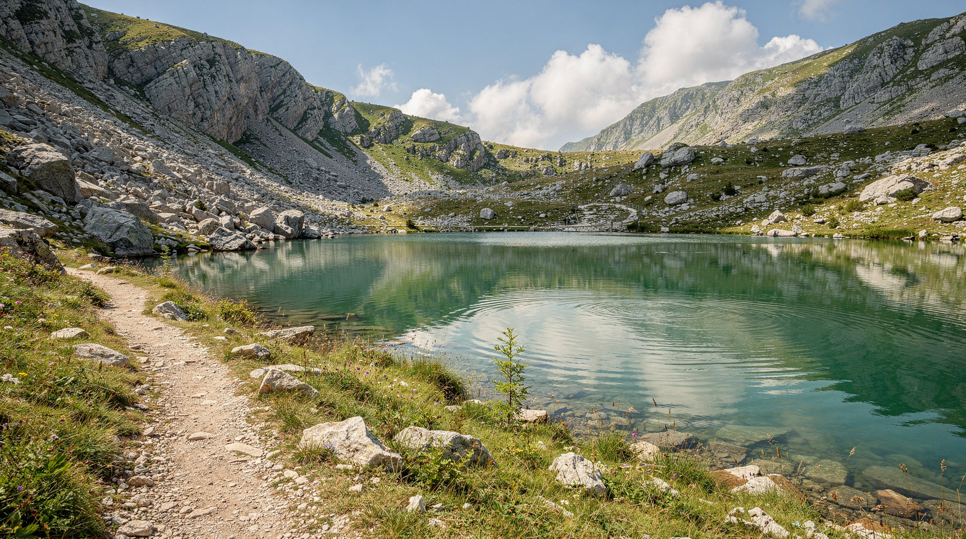
The flanks drop steeply on both sides. The western side falls to the Neretva canyon (where you can be rafting tomorrow morning); the eastern side drops to Boračko Lake, a glacially formed lake at 400m that provides the most popular camping and approach base.
Access from Konjic
Konjic (55 km south of Sarajevo on the main M-17 road) is the practical gateway for Prenj. From Konjic:
- Western access (Neretva valley side): Several tracks leave the valley road and climb toward the western Prenj slopes. Navigation on these approaches requires GPS.
- Eastern access (Boračko Lake): Drive from Konjic east toward Boračko (25 km of mountain road). The campsite and hut at Boračko Lake provides the most organised base for Prenj hiking. The main approach trail from Boračko Lake reaches the ridge in approximately 3-4 hours.
There is no public transport beyond Konjic town. A rental car is essential for independent hiking access.
Planning the logistics before you go
Most visitors arrive through the capital, so the Sarajevo airport guide is a good first read, followed by the renting a car in Bosnia guide if you plan to reach the trailheads independently. Mountain roads in this part of the country are slower than the map suggests, and the driving in Bosnia guide explains what to expect from surfaces, signage and other drivers. If you would rather not drive at all, the getting around Bosnia overview and the buses in Bosnia guide show how far public transport will take you, which in practice means as far as Konjic and no further.
Konjic itself is worth a night. The Konjic destination page and the Konjic day trip guide describe the old town and its stone bridge, and the Tito’s bunker guide covers a rainy-day option if the weather closes in on the mountain. Those who prefer a ticketed visit can book a visit to the Cold War bunker near Konjic for a weather-proof day before or after the hike. Sleeping in town the night before lets you start early, which matters because a late start on exposed limestone is how most avoidable problems begin.
The Prenj traverse: 3-5 days
The full north-south traverse of Prenj is the mountain’s ultimate challenge and one of Bosnia’s finest multi-day hikes. It forms part of the Via Dinarica White Trail route through this section.
Approximate daily stages:
- Day 1: Boračko Lake to first ridge camp (tent essential) — 6-7 hours, 1,400m gain
- Day 2: Ridge traverse, Zalogosta and surrounding summits — 7-8 hours on exposed terrain
- Day 3: Southern ridge and Zelena Glava — 6-7 hours
- Day 4 (optional): Descent toward the Neretva or extended traverse sections
Route characteristics:
- Navigation: Requires GPS and topographic map; marking is inconsistent
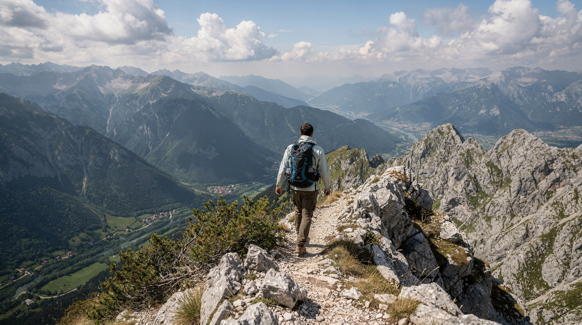
- Terrain: Loose limestone, some exposed scrambling on certain peaks
- Water: Scarce on the ridge — carry 3 litres minimum, resupply at snowfields in early season
- Shelter: Wild camping only above the Boračko base
- Rescue: Remote; mobile signal intermittent; plan for self-sufficiency
Combining Prenj with Neretva rafting
The combination of a Prenj hiking day with a morning on the Neretva River at Konjic is logistically straightforward and philosophically satisfying — the same mountain you are hiking down into feeds the river you will be rafting. Some operators in Konjic can arrange consecutive bookings.
Neretva rafting from Konjic makes an excellent complement to a Prenj hiking day — raft the gorge in the morning, rest and recover in the afternoon.
Day hiking on Prenj: what is accessible
The full traverse is serious and requires experience. For those who want a taste of Prenj without committing to a multi-day expedition:
Boračko Lake to first viewpoints (half-day): From the Boračko Lake base, trail up the forest slope to the first significant views of the massif. 3-4 hours round trip, moderate, manageable for fit recreational hikers.
Lower Prenj ridge approach (full day): A more committed option reaching the first ridge section for panoramic views. 7-8 hours round trip, strenuous, requires experience.
Do not attempt upper ridge sections without a GPS track and experience on exposed limestone.
Pacing and turning back
The most useful skill on Prenj is the willingness to turn around. Plan each day with a clear decision point, a time by which you must be at a given landmark or you retreat to the last safe camp. Loose rock slows everyone down more than expected, and a descent over wet or tired legs is far harder than the climb. Cloud can arrive quickly on the ridge, removing the views you were navigating by, so keep the track on your device and check it often rather than only when you feel lost.
Group dynamics matter too. A party moves at the pace of its slowest member, and the exposed sections are not the place to discover that someone is uncomfortable. Agree beforehand who makes the call to retreat, and respect it without argument when it is made.
Landmine safety on Prenj
Prenj and the Konjic area saw intense combat during the 1992-1995 war. The mountain’s valleys and lower slopes contain known and suspected mined areas that have not been fully cleared. The main hiking routes through mountain club channels are considered safe; however:
Critical rules for Prenj:
- Use only GPS-tracked routes downloaded from verified Bosnian mountain club or Via Dinarica sources
- Never take shortcuts across unmarked terrain, even if the terrain looks passable
- Do not pick up or touch any unidentified objects
- Tell a local contact your planned route before setting out
- The Boračko Lake hut staff can advise on current conditions
See the landmine safety in Bosnia guide for full protocols.
Season and conditions
| Month | Upper Prenj conditions |
|---|---|
| May-June | Snow possible; suitable only with crampons and experience |
| July | Clearing; the best start-of-season |
| August | Prime conditions; hot lower slopes but cool on ridge |
| September | Excellent; stable weather, dramatic autumn light |
| October | Possible but weather deteriorates; plan carefully |
| November-April | Dangerous; avalanche and ice risk; not recommended |
What to bring for Prenj
Unlike Bjelašnica’s plateau hikes, Prenj demands proper mountain kit:
Non-negotiable:
- Robust hiking boots with ankle support and stiff sole
- Trekking poles (loose limestone demands active use)
- Tent and sleeping bag (multi-day; no huts on upper ridge)
- 3-litre water carrying capacity
- Emergency bivouac bag
- Navigation: GPS device, downloaded track, 1:25,000 topo map
- Warm layer, waterproof jacket, hat and gloves (even in August)
- First aid kit including emergency treatment for cuts (limestone is sharp)
Prenj is the route for hikers who have done Bjelašnica and Lukomir and want something that will genuinely test them. It is Bosnia’s most demanding hiking area and its most rewarding — a mountain that earns its “Himalaya” sobriquet in character if not quite in scale.
Fitting Prenj into a wider trip
Prenj works best as one chapter in a longer journey rather than the whole plan. The best time to visit Bosnia guide helps you decide where the mountain sits in your calendar, and the seasonal pages on Bosnia in summer and Bosnia in autumn describe what the rest of the country feels like during the hiking window. Late summer light on the grey ridges is a large part of why people return.
For itineraries, the Bosnia adventure itinerary already links hiking and river days, and the Sarajevo to Mostar in three days route passes close enough to Konjic to add a mountain stop. If you have more time, the Bosnia 10-day itinerary leaves room for a proper Prenj attempt, and the Herzegovina weekend itinerary pairs well with a recovery stay after the descent. On the Herzegovina side, Mostar makes a comfortable place to rest tired legs.
If the traverse appeals as part of something bigger, the Via Dinarica thru-hike diary gives a first-person sense of what long days in these mountains feel like, which is useful reading before you decide how much of the route to take on.
Guided options versus going independently
Given the navigation difficulty, sparse marking and landmine-affected valleys, first-time visitors to Prenj are strongly advised to hire a local mountain guide rather than rely solely on downloaded GPS tracks. Konjic-based mountain clubs and a handful of specialist guiding outfits run trips onto the lower and mid-massif; the Via Dinarica Bosnia guide lists route-planning resources for the section that crosses Prenj. Independent hiking is possible for experienced alpinists but should never be attempted solo on the upper ridge.
For those who prefer a broader overview before committing to Prenj specifically, the hiking in Bosnia guide compares it against gentler options like Bjelašnica and the Lukomir village hike, and the Zelengora lakes guide and Maglić mountain climb guide cover Bosnia’s other serious mountain objectives in Sutjeska National Park.
Frequently asked questions about Prenj mountain
How do I get to Prenj from Sarajevo?
What is the highest peak on Prenj?
Is Prenj suitable for beginners?
Are there mountain huts on Prenj?
What is the Prenj traverse?
When can I hike on Prenj?
Top experiences
Bookable activities with verified prices and instant confirmation on GetYourGuide.