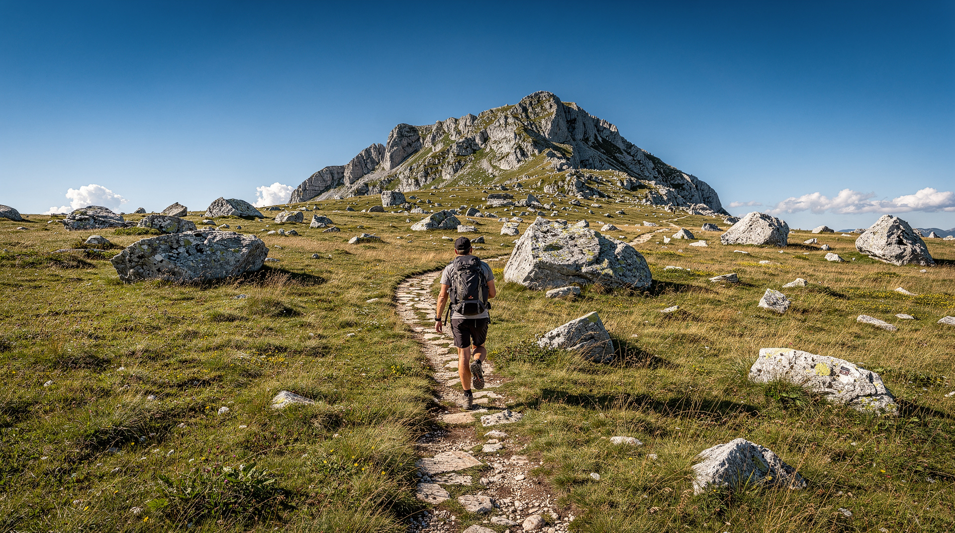
Via Dinarica through Bosnia — a thru-hiker's diary
At a glance
| Where | Bjelašnica to Jablanica, Via Dinarica White Trail, central Bosnia |
| Cost | Mountain huts and family rooms are inexpensive; guided support and gear rental add extra |
| Time needed | 4–6 days for this section alone |
| Getting there | Cable car or road access from Sarajevo to Bjelašnica; Jablanica is on the Sarajevo-Mostar road and rail line |
| Best time | July to September; late June still risks snow on Prenj’s north faces |
The Via Dinarica is one of Europe’s newest long-distance trails — a route running from Slovenia to Albania along the Dinaric Alps, following the mountain spine that divides the Adriatic coast from the Balkan interior. The Bosnian section, called the White Trail, covers roughly 600 kilometres through the most dramatic terrain in the country.
This diary covers five days on the section from Bjelašnica south through the Prenj massif — not a full thru-hike, but enough to get a real sense of what the trail offers in its hardest and most beautiful stretch.
Day 1: Bjelašnica to Lukomir
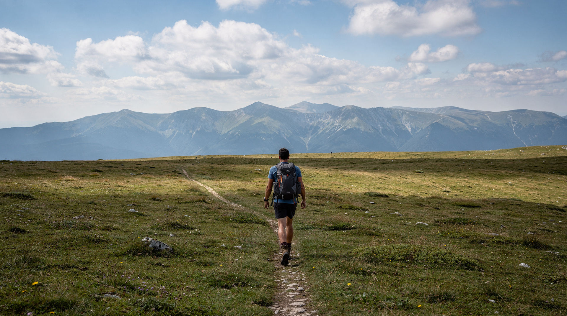
Start point: Bjelašnica mountain (cable car from Sarajevo, then on foot from the ski resort). The plateau above Bjelašnica is open, rolling, with the summit of Bjelašnica itself at 2,067 metres. A marked trail heads south.
The Via Dinarica waymarking in Bosnia is generally good on the main sections — red and white blazes on rocks and trees, supplemented by the official trail app and downloaded GPX files. In 2025 the waymarking on this section has been refreshed; trail markers are consistent.
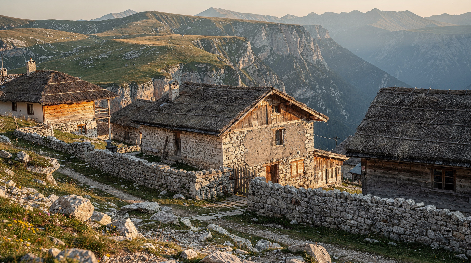
Two hours south of Bjelašnica, the plateau edge drops into the Rakitnica canyon. The Lukomir village sits at the canyon rim: stone houses, wooden roofs, the edge of the village literally at the cliff. I arrived in late afternoon and found a room with a local family (arranged in advance via the trail support network at viadinarica.com — important to book ahead in summer).
Dinner was lamb and fresh cheese from the family’s own flock. The canyon below was in shadow; the plateau behind was still in light. One of the better arrival moments I have had on a long trail.
Day 2: Lukomir to Umoljani and the canyon crossing
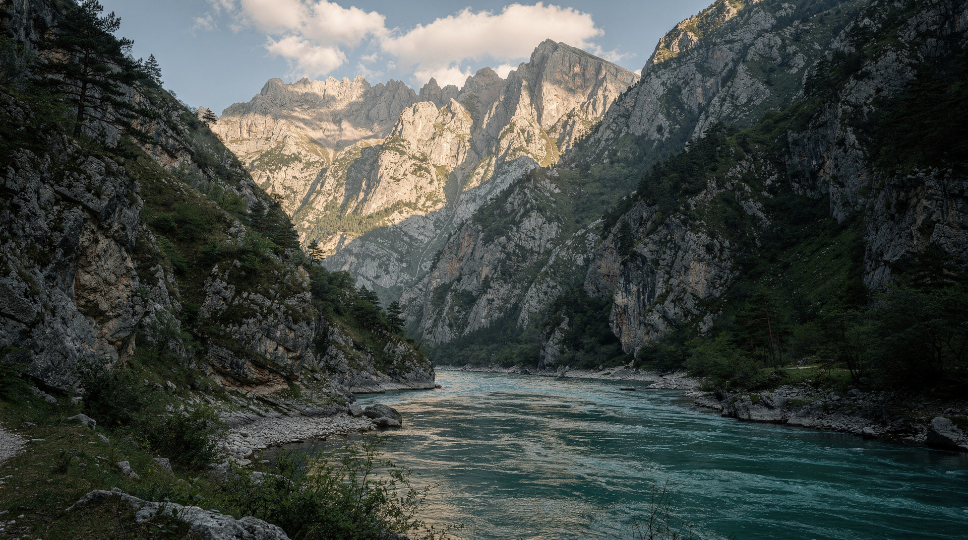
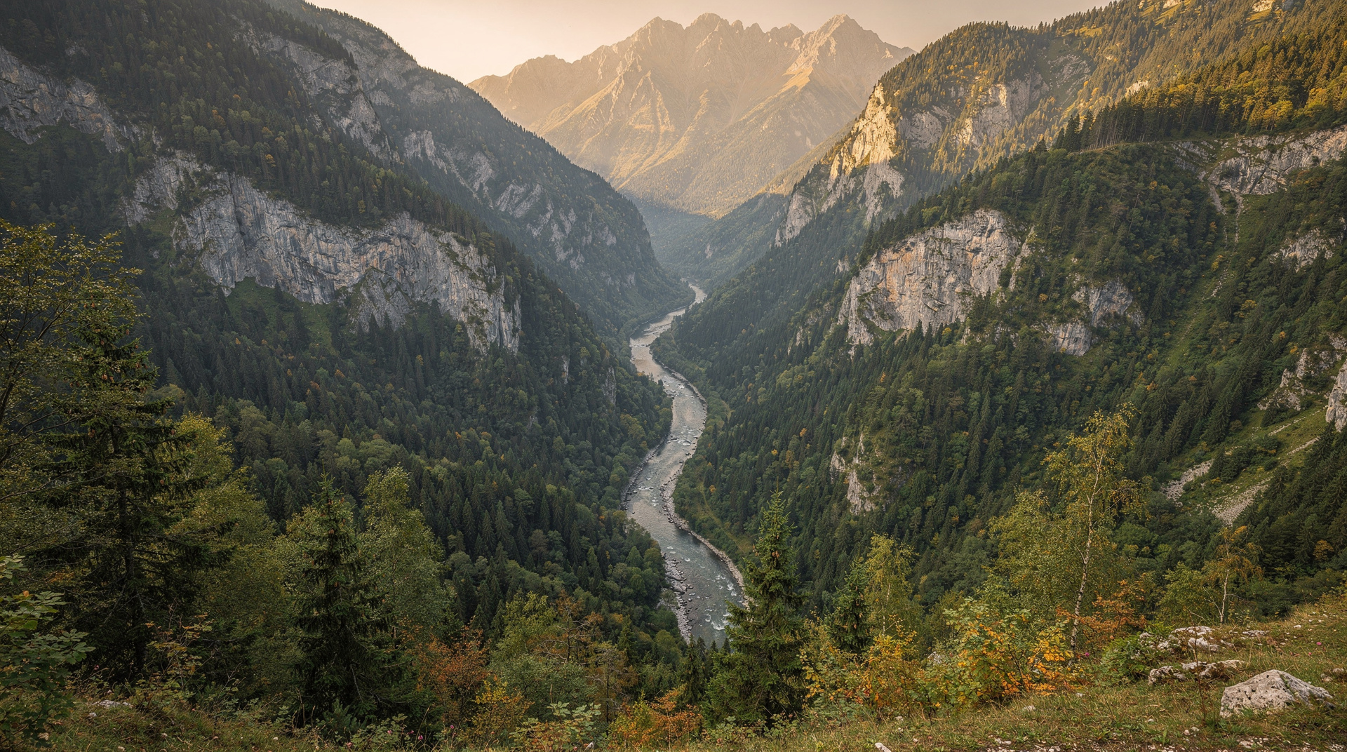
The trail from Lukomir drops into the Rakitnica canyon via a path that is steep, loose in places, and requires proper hiking boots. The canyon floor is cool and green even in July — the walls block the sun for most of the day. The Rakitnica river runs cold and clear.
The canyon crossing is the most technically demanding section of this stretch. There is no footbridge at the standard crossing point; in summer (July–August) the water level is low enough to wade easily. Earlier in the season — May, June — the level may be higher. Check trail notes before attempting.
From the canyon floor, the trail climbs steeply to Umoljani village on the south side — a smaller village than Lukomir, but with similar traditional architecture and a mountain hut that serves basic food and provides beds. I stopped here for the night.
Day 3: The Prenj approach
Prenj is the mountain that Bosnian hikers call the “Bosnian Himalaya” — not for size (the highest peak is Zelena Glava at 2,155 metres) but for character. The Prenj massif is a high limestone plateau with bare rocky summits, deep northern faces that hold snow into June, and a remoteness that larger or more famous mountains in the Alps lack.
The approach from Umoljani to the Prenj plateau takes most of a day — crossing the valley between the Bjelašnica and Prenj ranges, then ascending through the tree line to the high plateau. I camped on the plateau at around 1,900 metres, with the summits visible to the south.
The Prenj guide covers the mountain’s trails and access options for those wanting a dedicated Prenj trip rather than the full Via Dinarica.
Day 4: Prenj plateau traverse
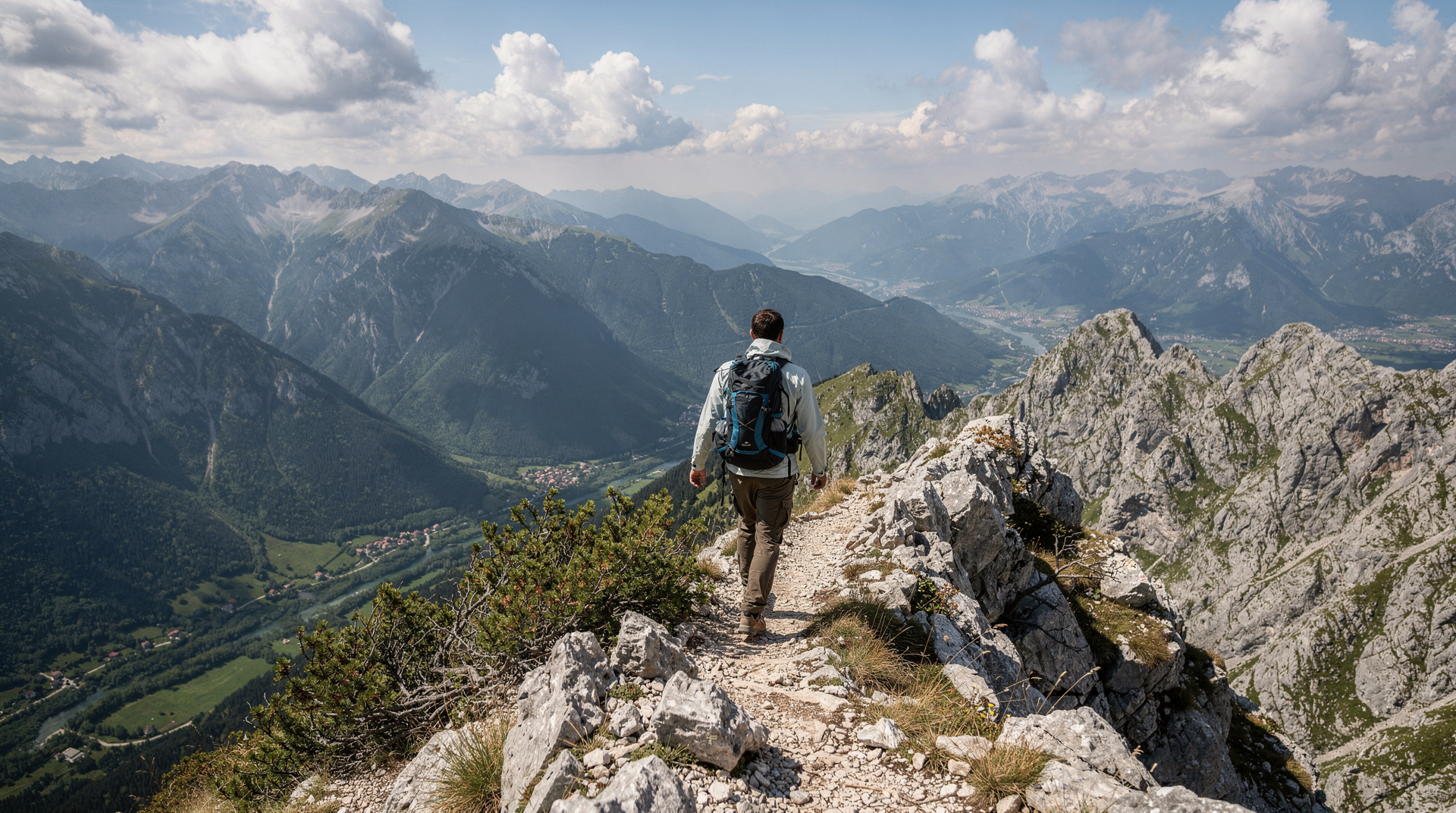
The Prenj traverse is the hardest day on this section. The trail crosses several summits, drops into the Tisovica canyon to the west, and regains altitude twice. Exposed ridge sections require attention in high winds; in July the heat on the bare limestone can be significant.
The views on a clear day are extensive: west to the Neretva valley and the beginning of the Herzegovina lowlands, north over the Bjelašnica-Lukomir country to the Sarajevo basin, south toward Čvrsnica and the next mountain range.
This is the section that most clearly separates Via Dinarica hikers from casual day walkers. Navigation requires map and compass skills (the limestone plateau lacks vegetation that might otherwise mark a path); the GPX file is essential rather than optional.
Day 5: Prenj to Jablanica
The descent from Prenj to the Neretva valley at Jablanica drops from 2,000+ metres to around 200 metres in roughly 18 kilometres. The trail follows a mix of mountain paths and forest tracks. The lower section passes through a landscape that changes dramatically from the bare limestone of the high plateau to the lush vegetation of the Neretva valley bottom.
Jablanica is a town on the Neretva, famous locally for a Battle of the Neretva episode in the Second World War and for a restaurant that serves roasted lamb. After five days of ridge camping and mountain hut food, the lamb felt like an appropriate conclusion.
Practical notes for the Bjelašnica-Prenj section
Duration: 4–6 days depending on pace and side trips.
Difficulty: Demanding. Navigation skills required on the Prenj plateau; steep descents with loose sections. Not suitable for first-time hikers.
Water: Reliable at Lukomir (spring in the village); limited on the Prenj plateau in summer. Carry 2+ litres from each reliable source.
Accommodation: Mountain huts at Lukomir and Umoljani (seasonal, book in advance via viadinarica.com). Wild camping on the Prenj plateau is permitted; leave no trace principles apply.
Season: July to September best. The Prenj can carry snow on north faces into June. Late September is excellent for weather and visibility but accommodation options reduce.
The Via Dinarica Bosnia guide covers the full Bosnian section with navigation resources and logistics.
Day-by-day summary
| Day | Route | Distance/effort | Sleep |
|---|---|---|---|
| 1 | Bjelašnica plateau to Lukomir | Moderate, ~4-5 hrs | Family room in Lukomir |
| 2 | Lukomir to Umoljani via Rakitnica canyon | Steep descent + climb, technical crossing | Mountain hut, Umoljani |
| 3 | Umoljani to Prenj plateau | Long approach day, altitude gain | Wild camp, ~1,900m |
| 4 | Prenj plateau traverse | Hardest day, exposed ridges | Wild camp, Prenj |
| 5 | Prenj to Jablanica | Long descent, 1,800m+ drop | Town accommodation, Jablanica |
If you don’t want to commit to the full section
Not everyone wants five days of ridge camping. The Lukomir village hike guide covers Day 1 and 2 as a standalone weekend trip, turning back to Sarajevo via Bjelašnica rather than continuing to Prenj. The Bjelašnica hiking guide is a good starting point if you want a single strong day out from the city without the multi-day commitment, and the general hiking in Bosnia guide covers other trail options at a range of difficulty levels, including easier alternatives in Sutjeska National Park.
If you want the canyon-rim scenery of Lukomir without carrying a tent, a full-day guided hike to Lukomir village from Sarajevo takes care of the transport at both ends. It suits walkers who like the idea of the high plateau but would rather sleep in a bed in the city afterwards.
Getting to the start and home from the finish
A point-to-point route needs a little planning at both ends. Most walkers start from the capital, so it helps to read the Sarajevo public transport guide and the wider getting around Bosnia guide before you pack. The guide to buses in Bosnia explains how the coach network works, which matters when you need to reach a mountain trailhead rather than a city centre.
At the Jablanica end, you are back on the main Sarajevo-Mostar corridor, so onward travel is straightforward. The Sarajevo to Mostar transport guide lays out the options, and the Bosnia by public transport itinerary shows how a trail like this can slot into a trip that never needs a car. If you would rather drive, the guide to driving in Bosnia is worth a read, though a car is awkward on a route that ends far from where it began.
Around the trail: before and after
Give yourself a night in the city before you start, so that you set off rested and with your food and fuel sorted. The Sarajevo where-to-stay guide will help you choose a base, and the Bjelašnica and Igman destination page covers the mountain where the walk begins.
A gentle first afternoon helps your legs and your planning. To see the city before the mountains take over, try a guided walking tour through the old town and its layered cultures, or a visit to the Olympic mountains and museum, which gives useful context for the very ranges you are about to walk into.
At the far end, the Neretva valley rewards a slower finish. Konjic is close by and has plenty to fill a rest day, from the Neretva rafting guide to the Tito’s bunker guide. Further down the valley, Mostar makes a natural end point for a longer trip. After days of dehydrated meals, a proper sit-down dinner is a pleasure; the Bosnian food guide will tell you what to order.
Reading the season and the land
Timing shapes this trail more than anything else. The best time to visit Bosnia guide and the Bosnia in summer guide put the July-to-September window in a wider context, while the Bosnia in autumn guide is useful if you are tempted by late-season light.
One safety point deserves repeating: stay on marked paths. The landmine safety guide explains why this matters across Bosnia’s backcountry, and it is worth reading before any off-trail wandering for a campsite or a photograph.
Where to go next
If this section whets your appetite, the Via Dinarica Bosnia guide points to the rest of the White Trail. The Zelengora lakes guide and the Sutjeska National Park destination page cover wilder country further east, and the Bosnia adventure itinerary combines hiking with rafting and other outdoor days. For a gentler story from the same highlands, the Lukomir blog post is a good companion read.
What I’d do differently
Looking back, I’d add a rest day at Umoljani rather than pushing straight into the Prenj approach on Day 3 — the canyon crossing and the climb out of Rakitnica on Day 2 are more tiring than the elevation profile suggests, and starting the Prenj approach fresh rather than fatigued would have made Day 4’s traverse noticeably more enjoyable. I’d also carry a paper map as backup even with the GPX file loaded — phone battery on multi-day sections with no charging access is a real constraint, and the Prenj plateau is the last place you want a dead phone with no landmarks to navigate by.
Frequently asked questions about Via Dinarica through Bosnia — a thru-hiker’s diary
Do I need previous long-distance hiking experience for the Bjelašnica-Prenj section? Yes — this is one of the more demanding stretches of the Via Dinarica in Bosnia, with technical navigation on the Prenj plateau and a challenging canyon crossing; it is not a suitable first multi-day hike.
Is it possible to do a shorter version of this route? Yes — the Lukomir village hike covers Days 1-2 as a standalone trip without continuing onto the more demanding Prenj plateau section.
Top experiences
Bookable activities with verified prices and instant confirmation on GetYourGuide.