Best viewpoints in Bosnia — for photographers and hikers
Bosnia is a country of extraordinary visual drama. The karst terrain, the river gorges, the Ottoman fortress towns on rocky promontories, the mountain plateaus with canyon drops — the raw material for memorable landscape photography and panoramic views is everywhere.
The challenge is knowing where to go and when. Here are the best viewpoints, with practical access information.
| Where | Sarajevo, Lukomir/Bjelašnica, Konjic, Jajce, Mostar, Počitelj, Sutjeska NP, Banja Luka, Una NP |
| Cost | Most viewpoints are free (fortresses, ridges, riverbanks); current Trebević cable car prices are on zicara.ba |
| Time needed | A dedicated viewpoints trip across the country is realistically 7–10 days; individual stops fit into a Sarajevo–Mostar itinerary |
| Getting there | Rental car gives the most flexibility; buses reach the towns, but cliff-edge and summit viewpoints need a car or a hiking day |
| Best time | Late spring and early autumn for clear light and manageable crowds; see the seasonality notes below |
Yellow Fortress (Žuta Tabija), Sarajevo
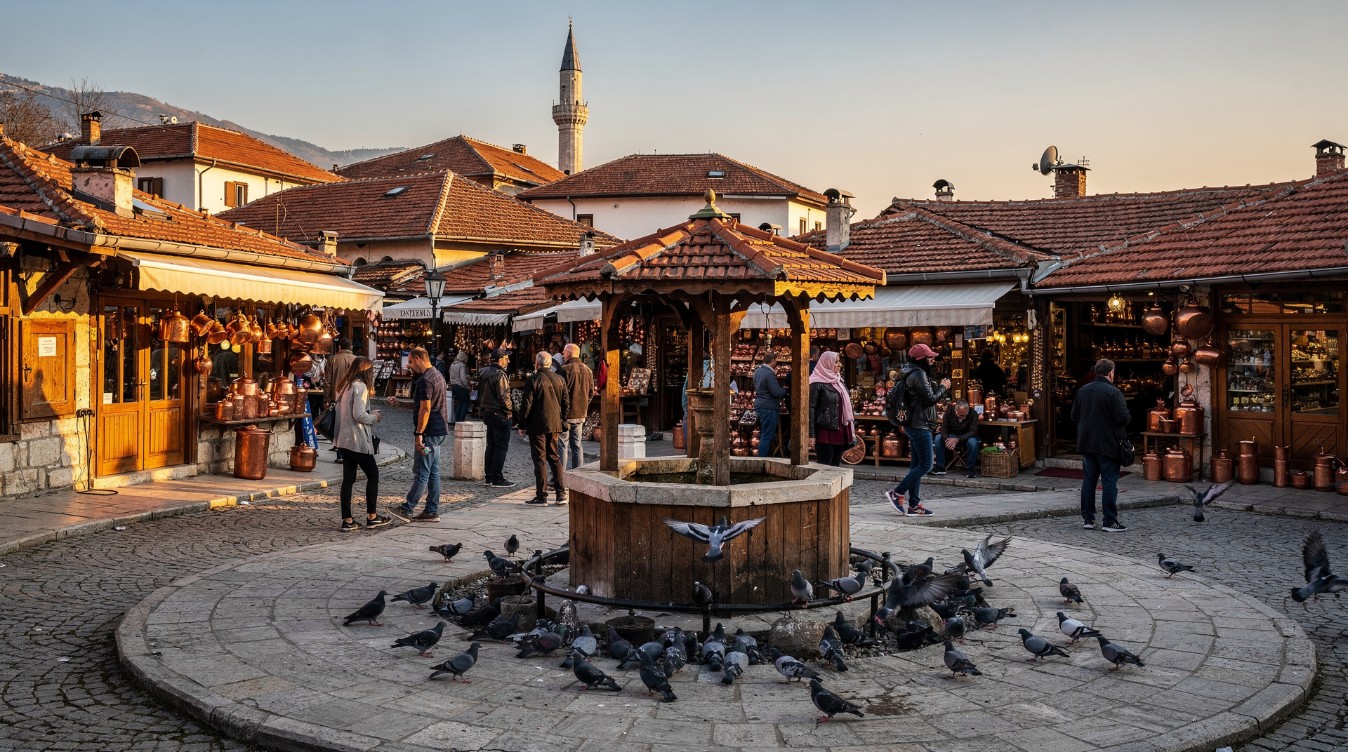
The Yellow Fortress is the oldest defensive work in Sarajevo — a sixteenth-century Ottoman watchtower on the hill directly above Baščaršija. The walk up from the old town takes 15–20 minutes through the Bistrik neighbourhood.
The view from the fortress is the classic Sarajevo panorama: the minarets of Baščaršija directly below, the Austro-Hungarian and Yugoslav buildings spreading west through the valley, the apartment towers of Grbavica to the south, and the mountains closing in from every direction. At dusk, with the call to prayer from the minarets below, this is one of the more memorable views in the Balkans.
Best time: Late afternoon for golden light on the minarets. Sunset for the skyline against the mountain profile.
Access: Walk up from Baščaršija via Kovači street; follow signs for Žuta Tabija. No entry fee. Open site.
It pairs naturally with a wander through the Baščaršija guide streets below, and the skyline you see from the top makes much more sense once you know the Austro-Hungarian layers of Sarajevo. If you only have one evening in the city, this is the view to spend it on, and the Sarajevo destination page will help you fit it around everything else.
Trebevic mountain cable car
The Trebevic cable car above Sarajevo was one of the 1984 Olympic facilities; it was destroyed in the war and rebuilt and reopened in 2018. The upper station sits at around 1,100 metres, with views down over the entire Sarajevo valley.
From the upper station, a short walk leads to the old Olympic bobsled track — now a graffiti-covered relic in the forest, itself a distinctive sight. The cable car ride and the viewpoint together make a two-hour excursion from the city.
Best time: Clear mornings before haze builds in the valley. Particularly striking in winter with snow on the peaks.
The mountain is covered in more detail on the Trebević Mountain page, and the Olympic story behind the bobsled track is told in the 1984 Winter Olympics guide. Take a layer even on a warm day in the valley: the upper station is noticeably cooler and more exposed than the city below. If you would rather have the old town and the ride combined in one outing, a guided walk through the old town and the fortress, finishing with the cable car saves you piecing it together yourself.
Lukomir cliff edge
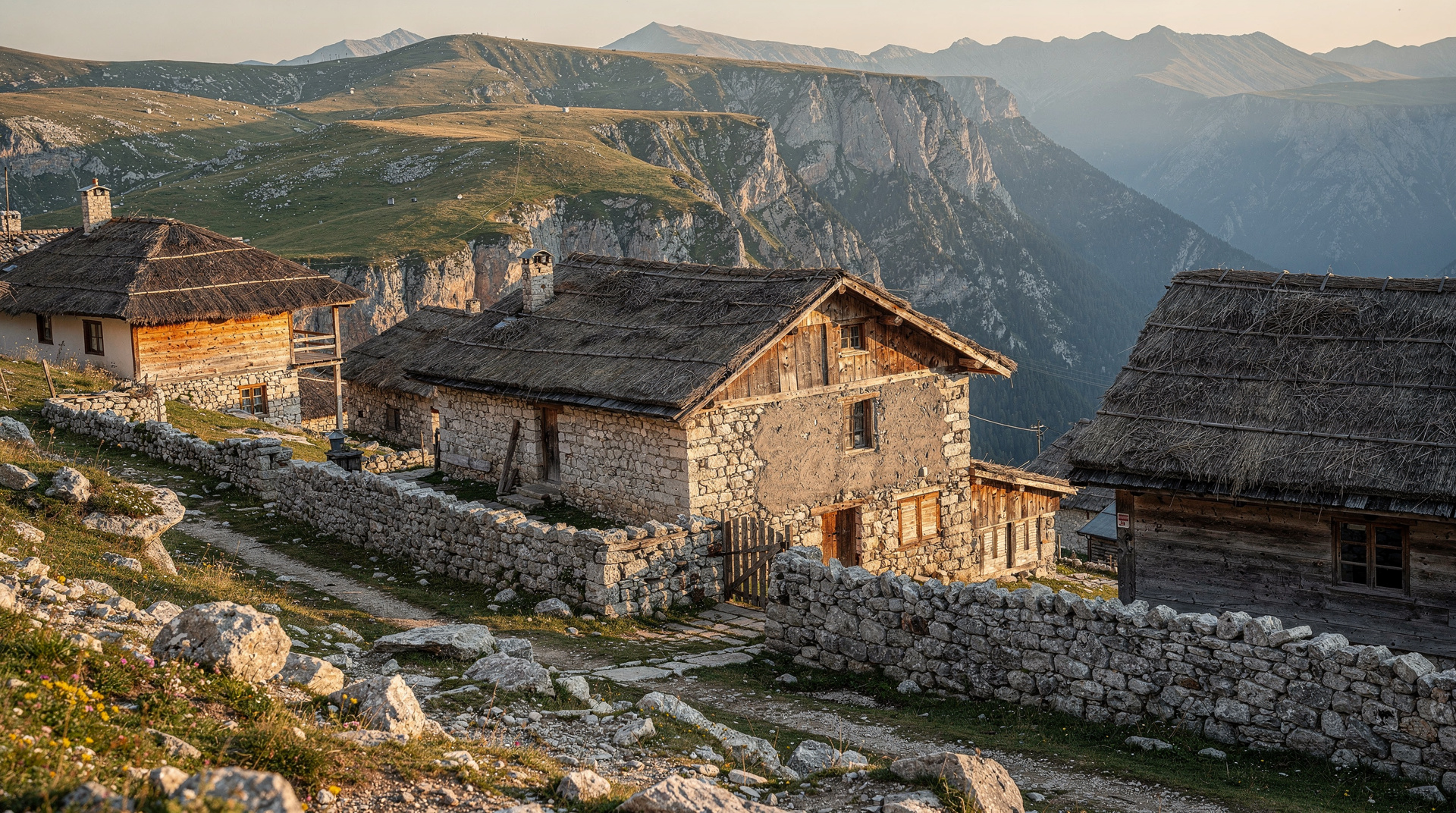
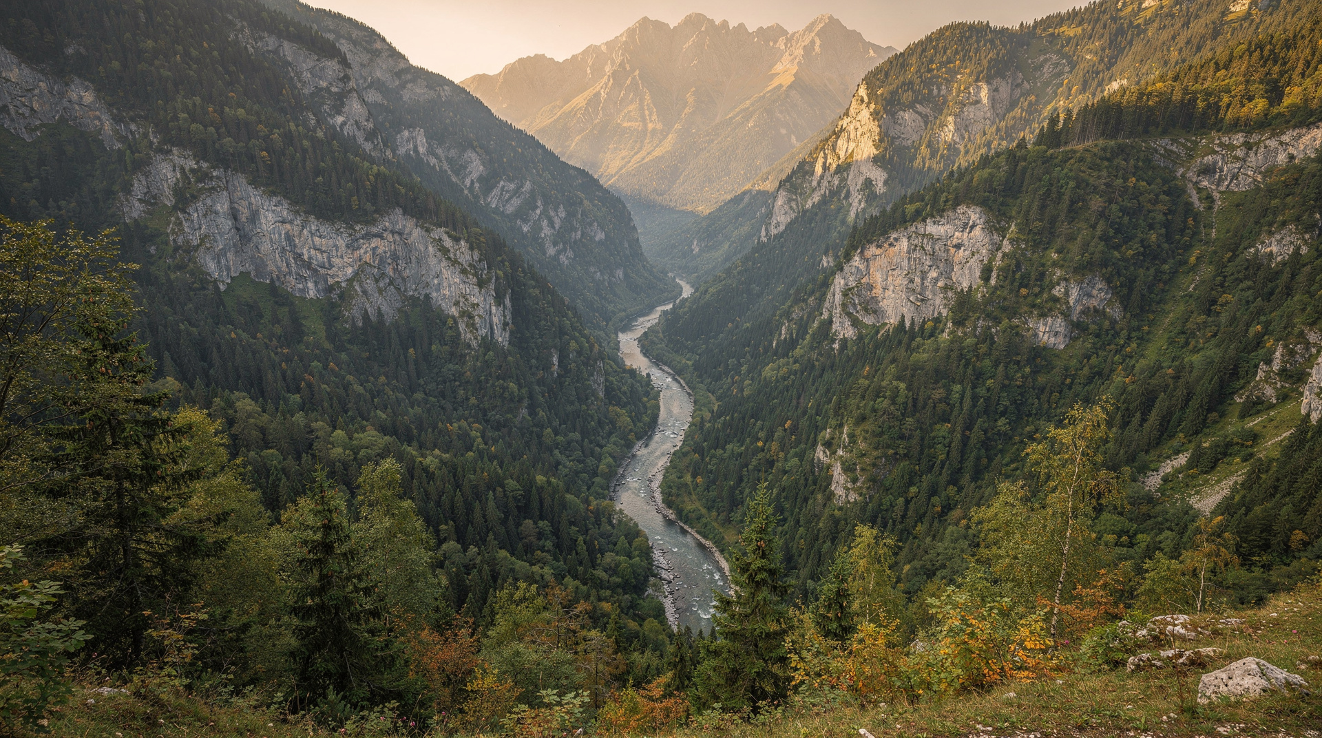
The edge of the Bjelašnica plateau above Lukomir village drops vertically into the Rakitnica canyon — a fall of several hundred metres to the river below. The view from the cliff edge, with the canyon walls in grey limestone and the village behind you, is one of Bosnia’s most dramatic.
Best time: June for green plateau; October for autumn colour in the canyon below.
Access: Via the hiking trail from Umoljani, 2–3 hours. Or by 4x4 with an operator for those who want the view without the full hike.
The broader plateau is described in the Bjelašnica and Igman destination page and the Bjelašnica hiking guide, both useful for choosing a route that matches your fitness and the weather window. Without a car, a full-day guided hike to the village from Sarajevo takes care of transport and navigation. Read our Lukomir trip report for a first-hand feel of the walk and the village at the end of it.
Tito’s Bunker exit point, above Konjic
The access road to ARK D-0 winds up the hillside above Konjic to an elevation that gives a sweeping view over the Neretva valley. From the vicinity of the bunker entrance, the canyon stretches south toward Herzegovina, the river visible below between limestone walls.
Not a dedicated viewpoint, but worth pausing on the access road for the panorama. If you are already visiting the bunker, the Tito’s Bunker guide explains the visit, and the pause for photographs costs only a few minutes of the day.
Jajce fortress ramparts
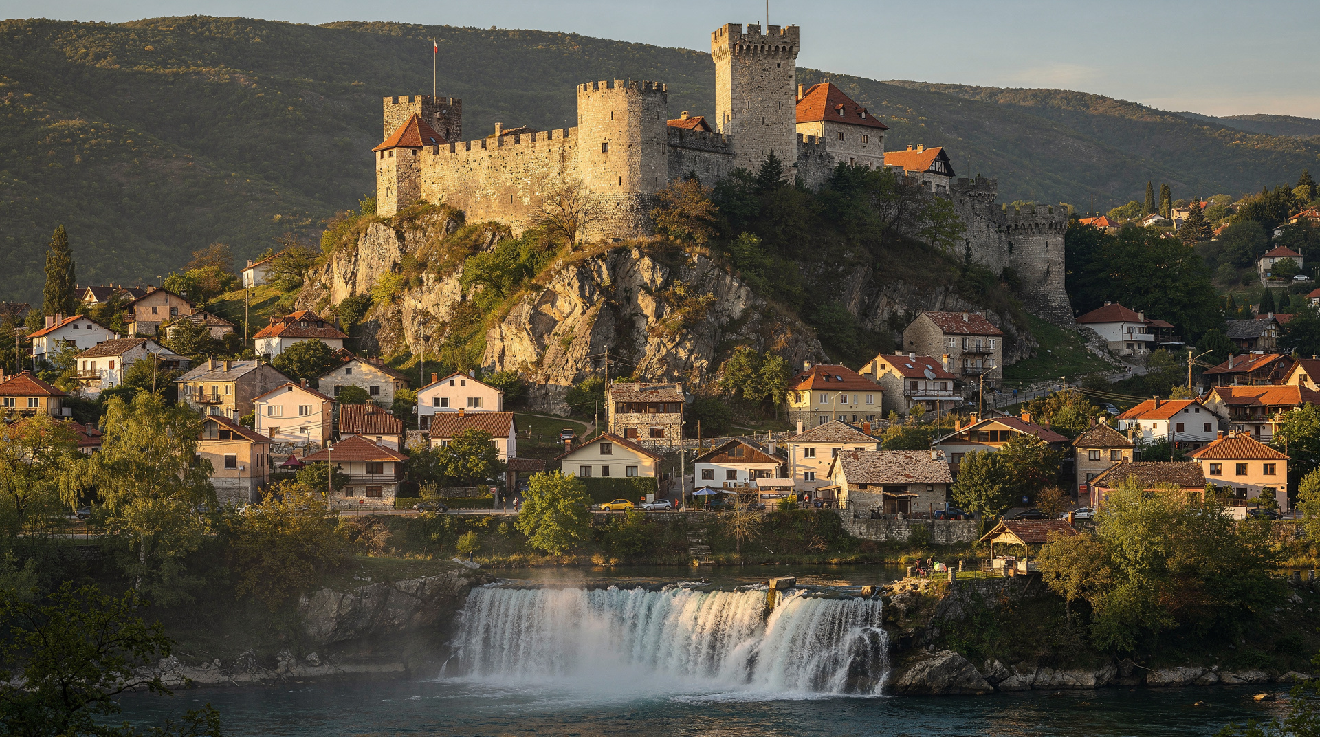
From the ramparts of Jajce’s medieval fortress, you look directly down at the town — the Pliva waterfall visible, the Old Town quarter, the confluence of the two rivers — with the Vrbas canyon extending north and south.
Best time: Morning for the waterfall in full light. The fortress faces east, so morning light is best for photographing the town below.
Stari Most, Mostar — from the bank
Stari Most itself is the subject rather than the viewpoint, but the best photographs of the bridge are taken from the riverbanks. The east bank (closer to Baščaršija) gives a view with the bridge arch against the sky and the minarets of the Koski Mehmed Pasha Mosque in the background. The west bank (downstream) shows the full canyon setting.
Best time: Sunset, when the limestone of the bridge reflects golden light. Very early morning in summer to avoid crowds.
Počitelj tower
The ruined tower above the village of Počitelj gives a view over the Neretva bend — the river making a curve below the limestone cliff on which the village sits. The agricultural valley spreads south, with the ridge of the Biokovo mountains visible on clear days. Počitelj sits on the road between Mostar and the waterfalls, so a day tour from Sarajevo through Mostar, Počitelj and Kravice is an easy way to fit several Herzegovina views into one day without driving.
Best time: Late afternoon (the tower faces west, catching the setting sun directly).
Sutjeska valley from the Maglić ridge
The summit of Maglić, Bosnia’s highest peak, gives the most extensive view in the country. On a clear day: north into the Sutjeska valley and beyond toward Sarajevo, south into Montenegro’s Durmitor range, east toward Serbia. The summit itself is a narrow ridge with exposure on both sides.
Best time: Early morning before afternoon cloud builds on the high peaks. Late September and October for clearest visibility.
Banja Luka Kastel fortress
The Kastel fortress in Banja Luka, on the bank of the Vrbas River, is less dramatic than the previous entries but gives a pleasant river-level panorama in an undervisited city. The walk along the fortress walls and the view of the Vrbas (a clean and swimmable river) make a rewarding afternoon in the north.
Una canyon from the Štrbački Buk approach
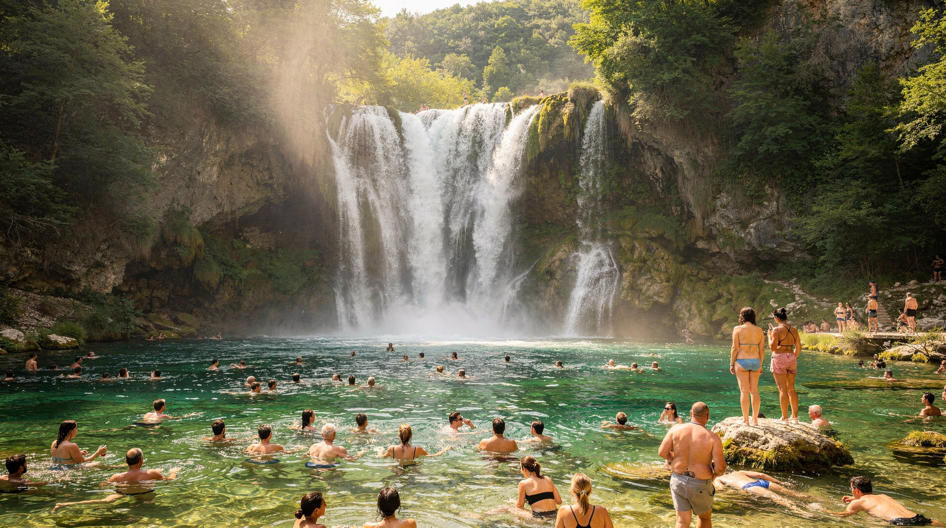
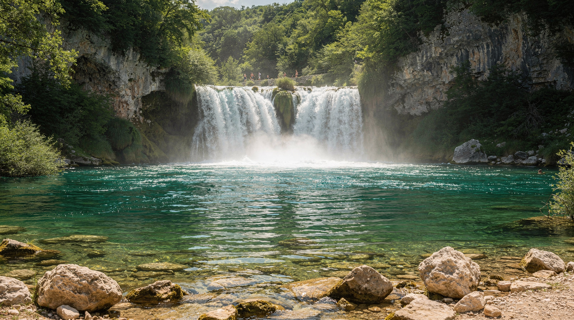
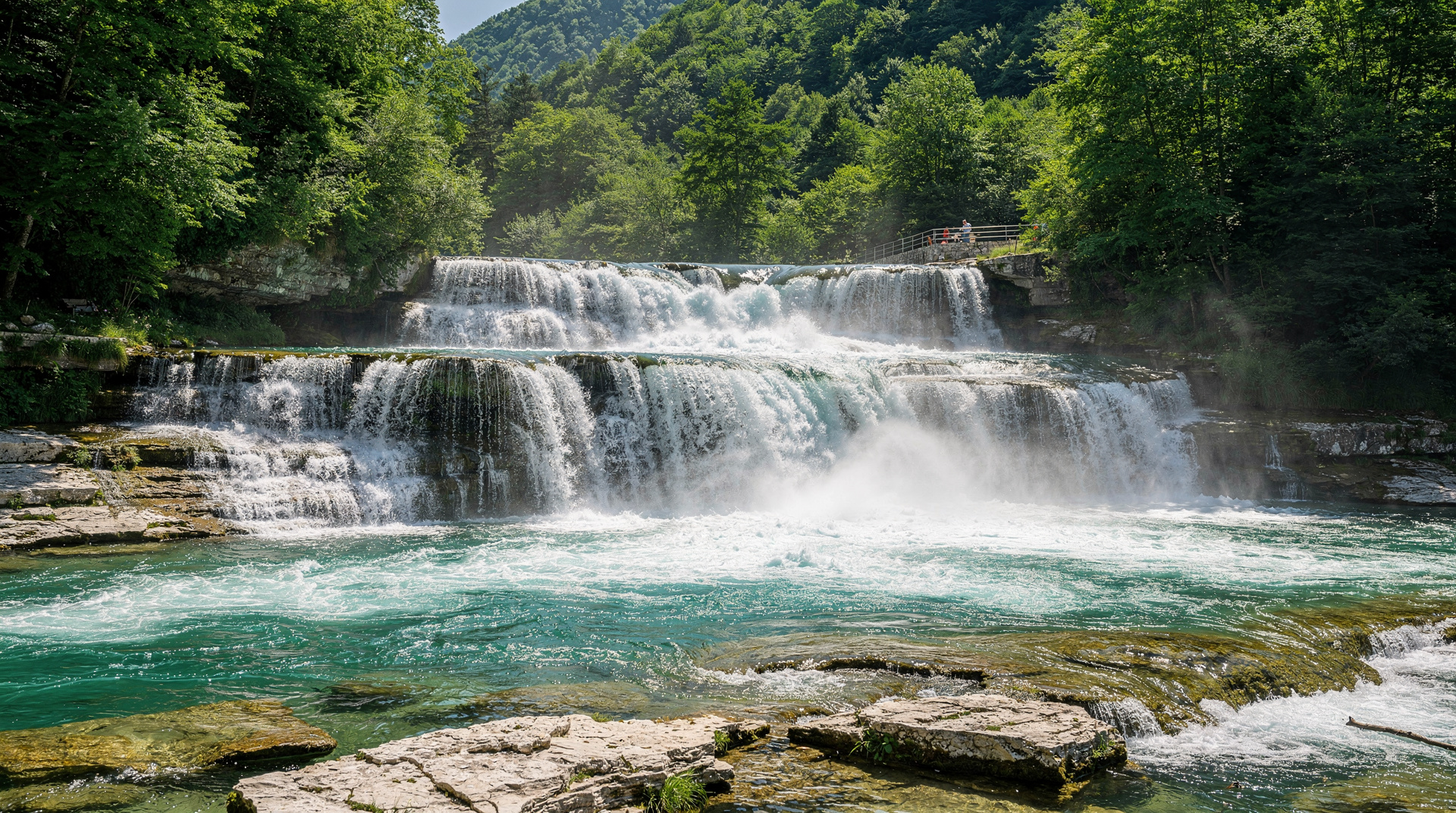
The path to Štrbački Buk waterfall descends through forest to the canyon edge, where the Una disappears over a 25-metre drop. From the viewpoint at the canyon rim, you see the full width of the waterfall with the canyon walls closing in from both sides.
Best time: Spring (May–June) for maximum water volume. Autumn for the canyon walls in colour.
Building a route around the views
You do not need to chase every entry. A sensible approach is to choose one anchor viewpoint per region and let the rest fall along your road. Sarajevo gives you the Yellow Fortress and Trebević, Herzegovina gives you the Mostar banks and Počitelj, and the west and north reward a slower pace. The 7-day Bosnia itinerary passes several of these places without any detours, and the Bosnia adventure itinerary is the better template if the plateau and canyon spots are your priority.
Distances between regions are real, and mountain roads are slow, so build in margin for the light: arriving at a west-facing tower after the sun has dropped behind the ridge is the most common way to miss the shot. Our driving in Bosnia guide covers road conditions and what to expect behind the wheel.
Practical notes for photographers
- Bosnia’s mountain light is best in the two hours after sunrise and before sunset. Midday is harsh.
- Canyon viewpoints in autumn (September–November) have significantly better colour than summer.
- Weather changes quickly in the mountains. Wide-angle lens and polarising filter are recommended.
- Drone regulations in Bosnia require CCAA registration for commercial use; for personal photography, check current rules before flying.
When to go, viewpoint by viewpoint
Timing matters more here than for most travel topics — the same cliff edge can be a postcard or a grey wall depending on the month.
| Season | Sarajevo & Trebević | Lukomir / Bjelašnica | Mostar & Herzegovina |
|---|---|---|---|
| Spring (Apr–May) | Green hills, occasional haze | Snow lingers into May, muddy trail | Wildflowers, Kravice Waterfalls at full flow |
| Summer (Jun–Aug) | Hazy midday, best at dawn/dusk | Best access, warm plateau light | Hot and crowded around Stari Most |
| Autumn (Sep–Nov) | Clearest air of the year | Canyon colour, cooler hiking | Fewer crowds, golden light |
| Winter (Dec–Mar) | Snow on peaks, dramatic but cold | Often inaccessible without a guide | Quiet, occasional fog in the valley |
If you’re building a wider trip around these views rather than a single day out, the best time to visit Bosnia guide and the Bosnia in autumn guide go into seasonal planning in more depth. For the cliff-edge hikes specifically, pair this with the best day hikes from Sarajevo and the hiking in Bosnia guide before you commit to a route.
Getting to the more remote viewpoints
Lukomir and the Sutjeska ridges are the two entries here that take real planning. Lukomir is reachable by hiking from Umoljani or by 4x4 tour, but the Rakitnica canyon edge itself has no barrier — treat it like any unprotected cliff. Maglić requires a proper mountain day: check the Sutjeska National Park guide for trailhead access and whether a local guide is advisable that season. If you’re short on time, the Perućica primeval forest inside the same park is a lower-effort alternative with its own viewpoints over the old-growth canopy.
Frequently asked questions about Best viewpoints in Bosnia — for photographers and hikers
Do I need a guide to reach these viewpoints? No, for most of them — the Yellow Fortress, Trebević, Jajce, Počitelj and the Mostar riverbanks are all independently accessible on foot. Lukomir and Maglić are the exceptions where a guide or 4x4 operator adds real safety margin, especially outside peak summer.
Which single viewpoint gives the best return for the least effort? The Yellow Fortress above Baščaršija — a 15–20 minute walk from Sarajevo’s old town for one of the best city panoramas in the Balkans, with no entry fee and no special gear needed.
Top experiences
Bookable activities with verified prices and instant confirmation on GetYourGuide.