Driving Bosnia's backroads — notes from the mountain roads
Bosnia does not have a complete motorway network. This is, depending on your disposition, either a problem or the best news you will hear all week.
The main routes — Sarajevo to Mostar, Sarajevo to Banja Luka via the A1 motorway extension — are modern, fast, and efficient. But the country between them is served by mountain roads that take the long way around because there is no shorter way. These roads pass through places where tour buses don’t go and where the landscape is entirely unmediated by tourist infrastructure.
Driving them is one of the better ways to see Bosnia.
| Where | Mountain routes linking Sarajevo, Jajce, Lukomir, the Una valley and eastern Bosnia |
| Cost | Car rental from around 30–40 EUR/day, plus fuel; see renting a car in Bosnia |
| Time needed | Half a day to a full day per route; don’t stack more than one per day |
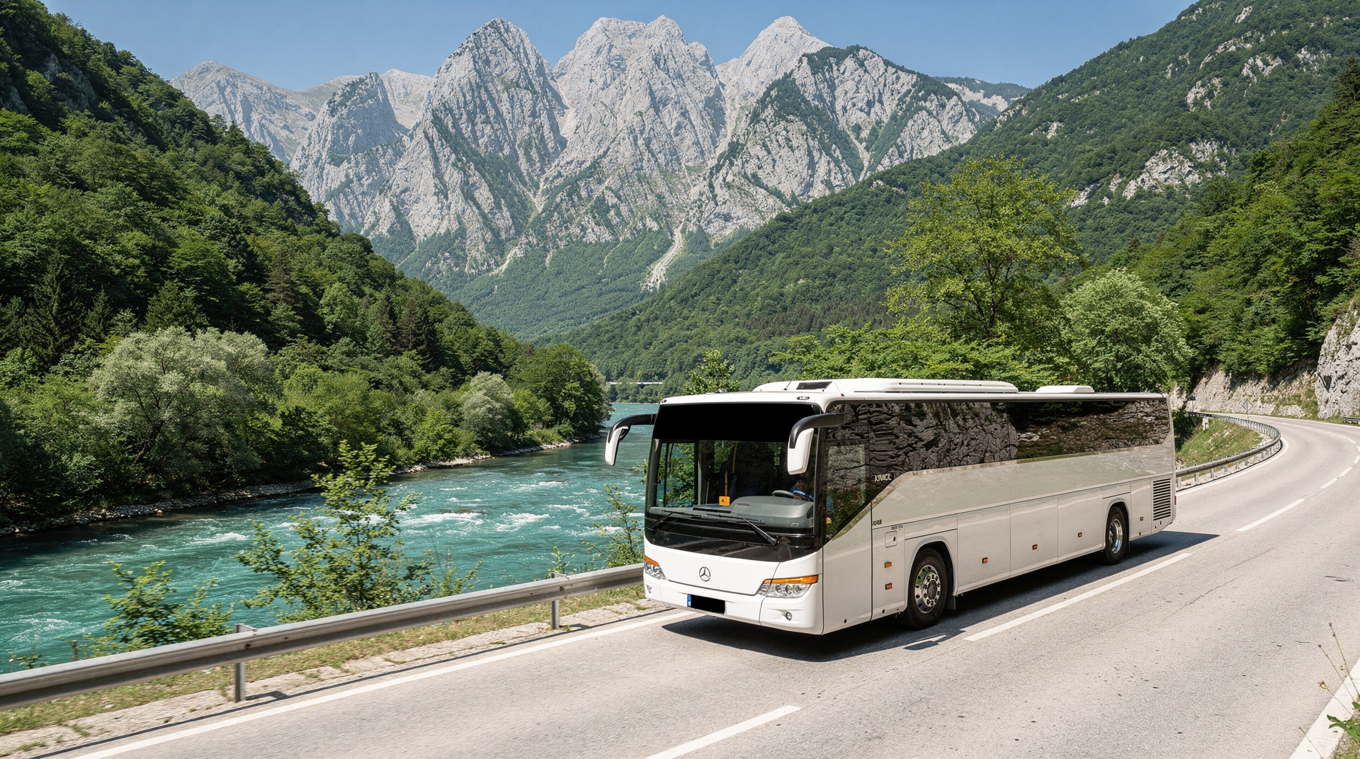
| Getting there | Self-drive only — no bus route covers most of these roads |
| Best time | Late spring to early autumn; some mountain passes close December–March |
The realities first
Some honest advance warnings before the enthusiasm:
The roads are slower than they look. A 120-kilometre route in Bosnia might take three hours. Mountain roads with steep gradients and hairpin bends do not yield the kilometre counts that flat motorways do. Build in extra time for every journey.
Some roads close in winter. Mountain passes above 1,200 metres can be impassable from December to March. The route through Sutjeska National Park, for instance, is high altitude; check conditions before driving in winter months. The driving in Bosnia guide has current advice on seasonal road closures.
Some roads are unmarked. In rural areas, particularly in the hills east and south of Sarajevo, signage is inconsistent. Offline maps (Maps.me or downloaded Google Maps) are more reliable than expecting data coverage on mountain ridges.
Rental car cross-border rules. If entering from Croatia or Montenegro, ensure your rental car has the green card international insurance document covering Bosnia-Herzegovina (not all Croatian rental companies include this automatically). See the renting a car guide for specifics.
The Neretva canyon road
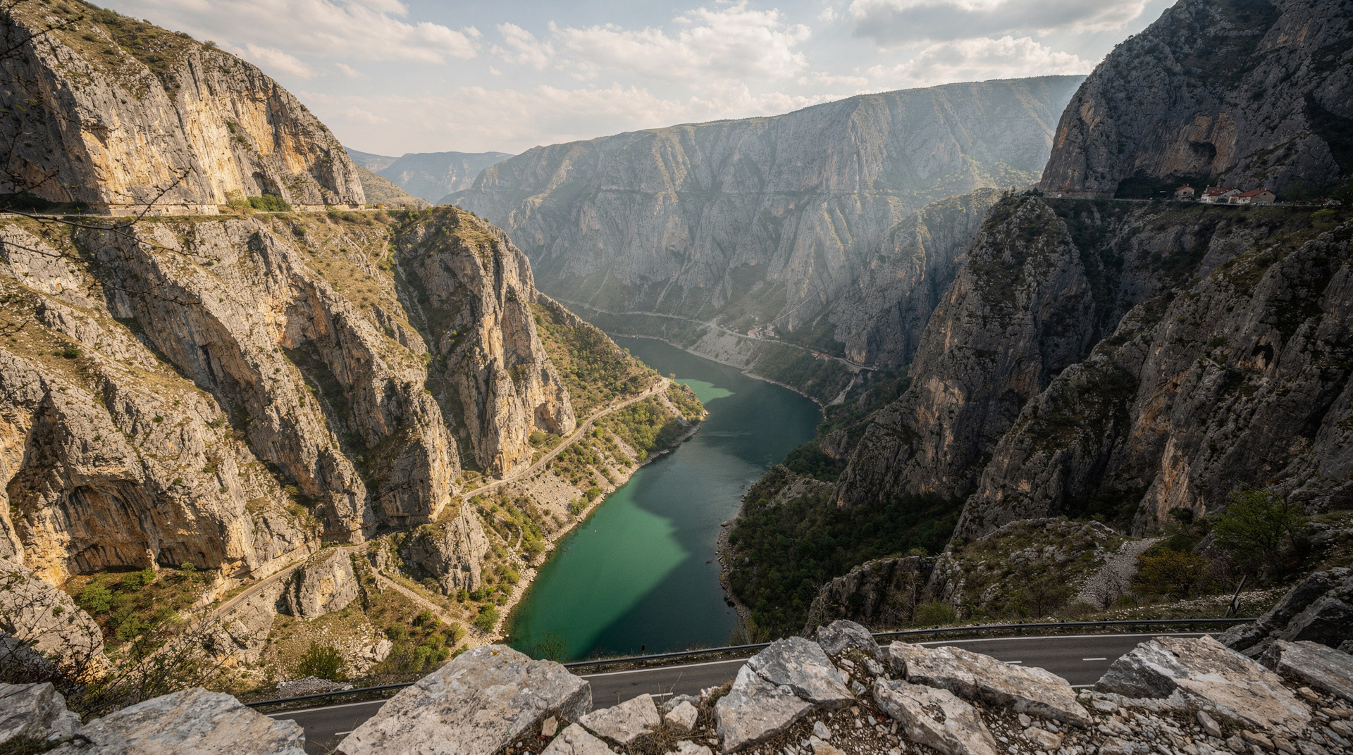
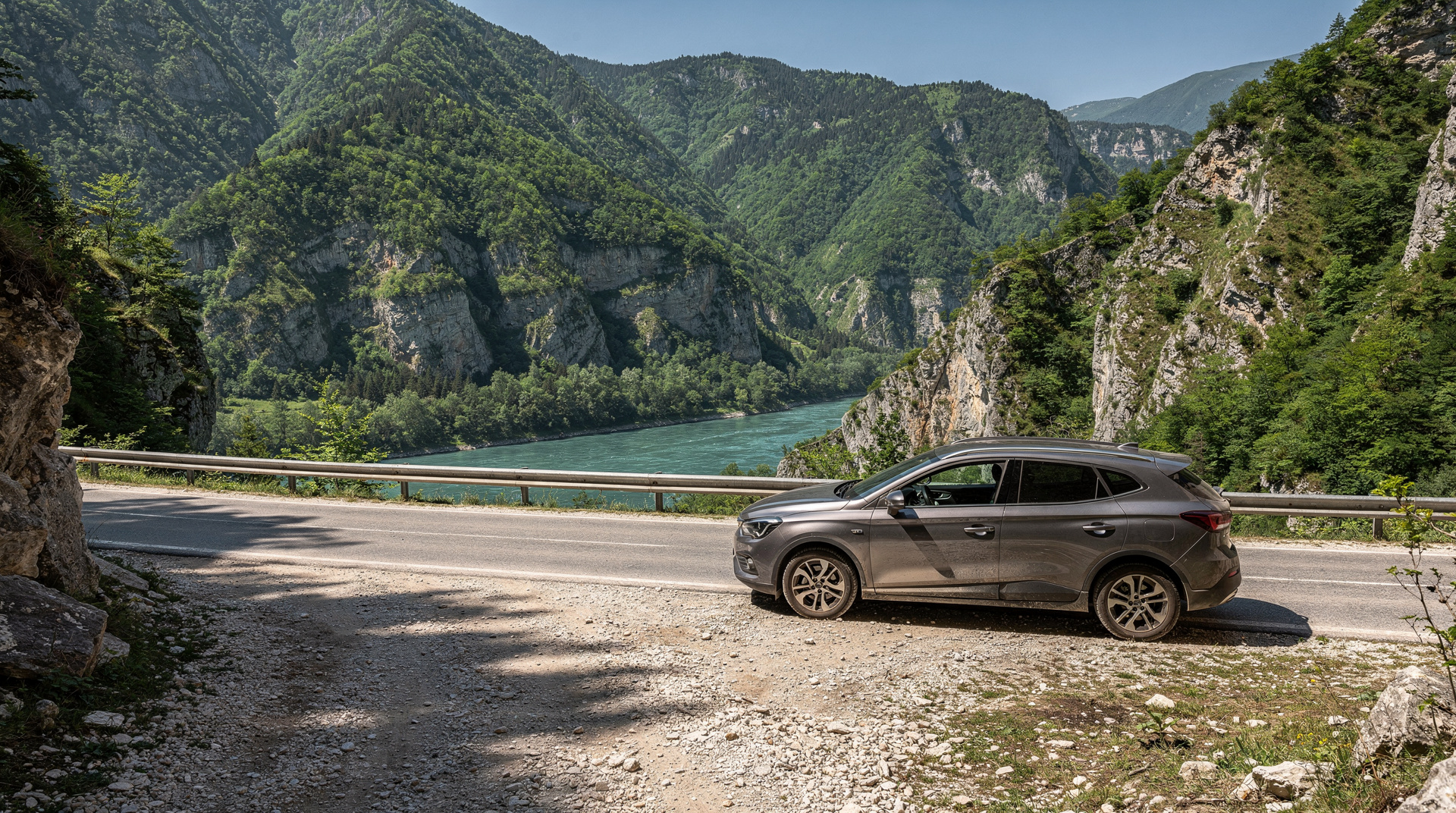
The road from Sarajevo south to Mostar runs alongside the Neretva River through a narrowing canyon for most of its length. It is one of the more dramatic approaches to any city in the Balkans — limestone walls rising above the green river, tunnels cut through promontories, the occasional railway bridge across the gorge below.
The motorway (M-17) covers much of this route now, which speeds the journey but removes some of the canyon experience. The old road (M-17 designation retained in places) runs closer to the river and is worth taking if you have time — especially the section between Jablanica and Konjic.
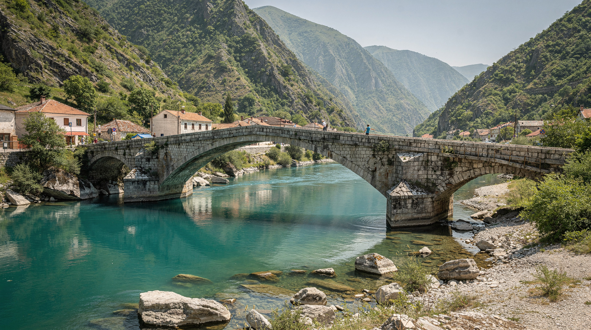
Pull over for Konjic on the way. The old stone bridge over the Neretva, the river-view restaurants, and Tito’s Bunker nearby make a worthwhile two-hour stop.
A car for the Sarajevo to Mostar canyon
The Neretva route rewards a driver who can stop when the light hits the limestone, pull over at Konjic, or leave the motorway for the old road between Jablanica and Konjic. That freedom is the reason to have your own wheels here rather than rely on a fixed timetable.
Choose a vehicle that feels comfortable in tunnels and on narrow stretches beside the river, and check the pick-up and drop-off points match your Sarajevo and Mostar plans. Read what the price includes for insurance and fuel before you pay, and confirm the paperwork for crossing borders if you plan to continue beyond Bosnia. When your route is set, you can compare rental cars on DiscoverCars for a Sarajevo pick-up.
The road to Jajce
The route from Sarajevo northwest to Jajce via Kiseljak and Travnik is a good example of how Bosnian roads work: mostly paved, reasonable surfaces, speed limited through towns, mountain stretches that are winding but well-maintained. Allow 2.5 to 3 hours for what the map suggests is 160 kilometres.
The Lašva valley section through Travnik is the cultural heart of central Bosnia: Ottoman fortress, coloured Mosque, the old bazaar, the birthplace of Ivo Andrić (the Nobel laureate writer, born here in 1892). Stop for coffee and a walk — Travnik deserves an hour at least.
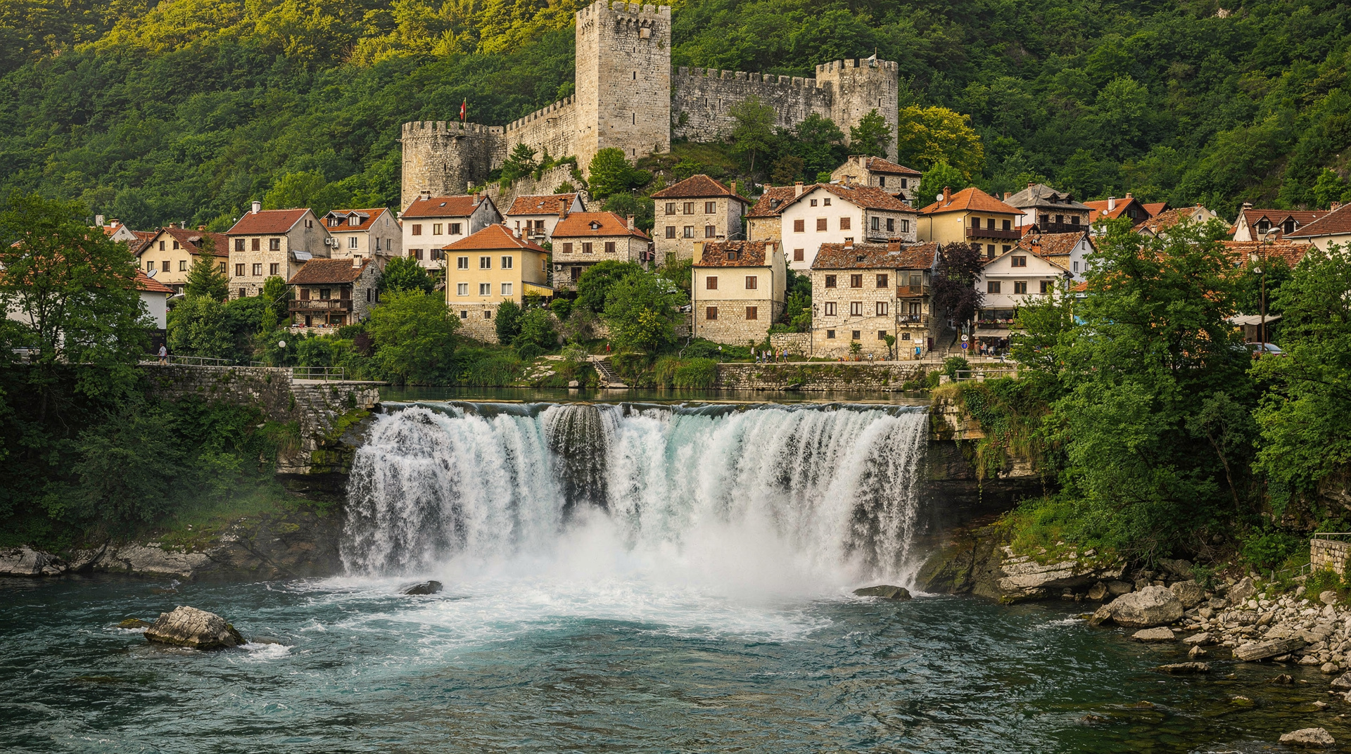
Jajce, another 40 minutes north, sits at the confluence of the Pliva and Vrbas rivers. The waterfall in the centre of town, the medieval fortress above, and the Pliva Lakes and watermills nearby make for a genuinely rewarding stop.
The mountain road to Lukomir
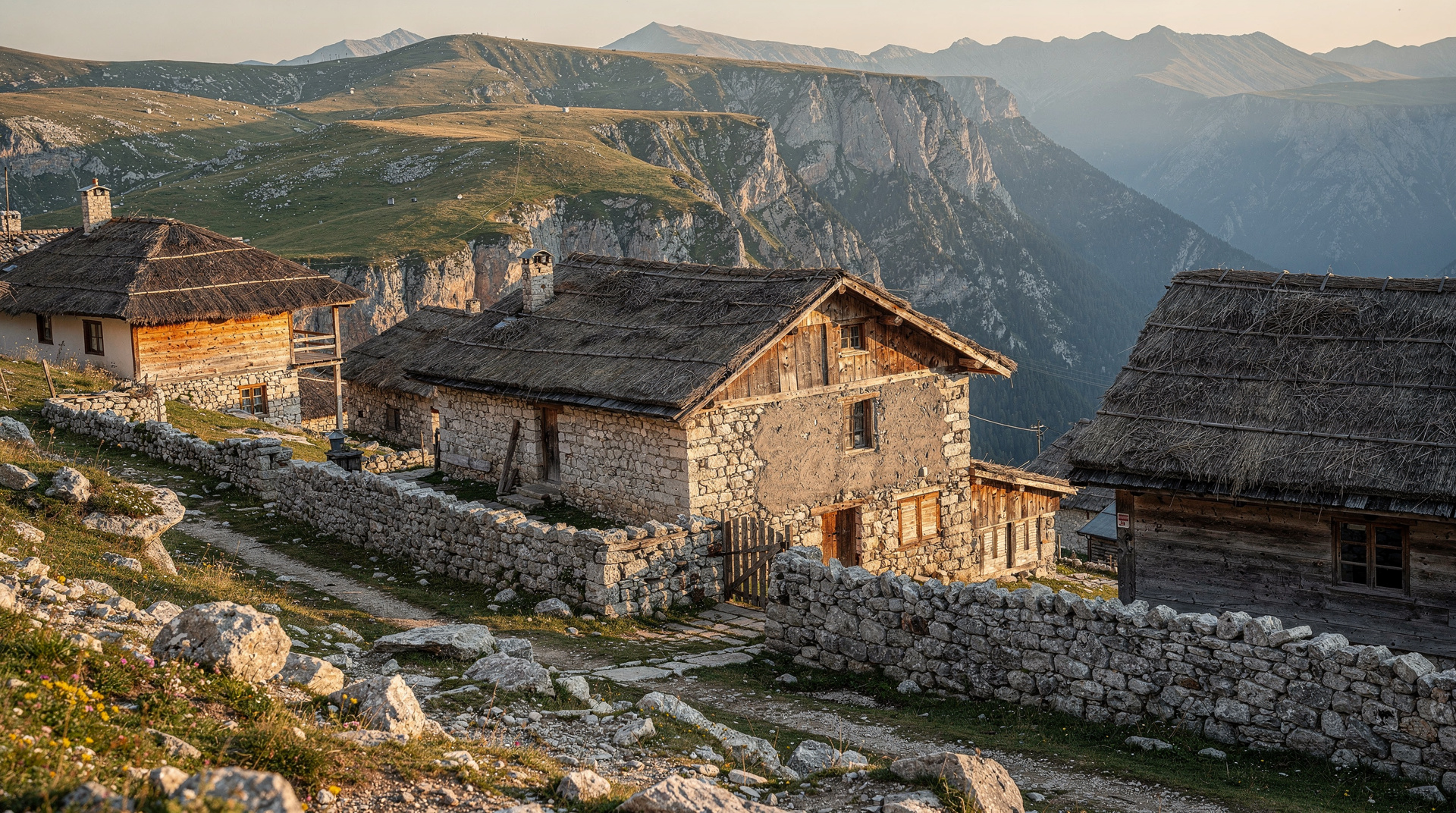
The road to Lukomir from Sarajevo is a different category of driving experience: paved for most of the ascent to Bjelašnica, then a rough track for the final section to the village. A standard car with reasonable clearance can manage it in dry conditions; after rain or in early spring with snow still on the plateau, a 4x4 is advisable.
The plateau views are worth whatever the road demands. From the ridge above Lukomir, you look down into the Rakitnica canyon on one side and across to the Olympic ski runs on the other. The village itself is a handful of stone houses and wooden barns that look much as they have for a century.
Allow half a day for the drive and village from Sarajevo.
If the final track puts you off, you can still reach the plateau without driving it yourself: a private 4x4 trip to the village from Sarajevo leaves the rough section to someone who knows it, and a guided hike around Lukomir suits those who would rather walk than steer.
The Una valley road
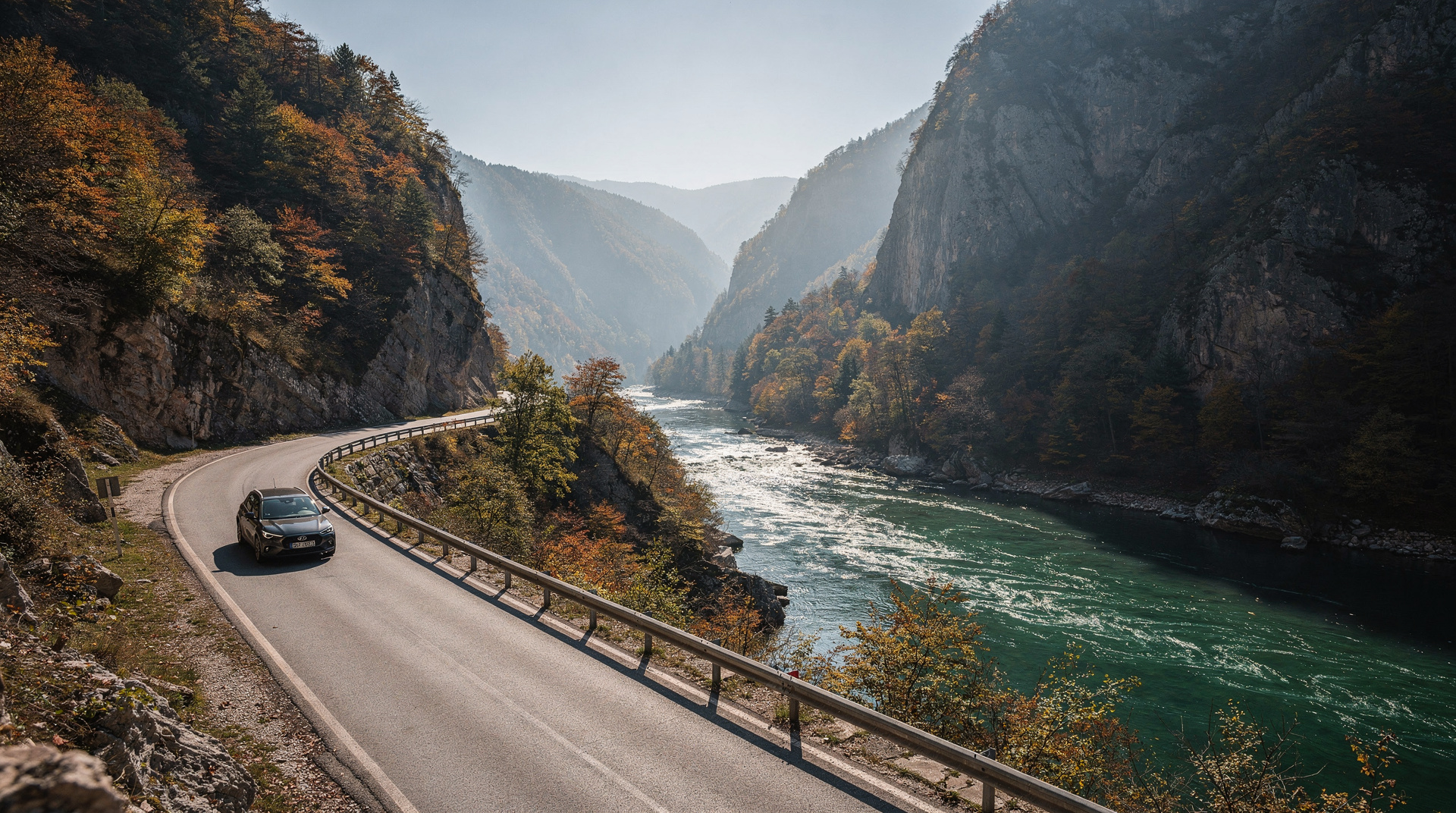
The road through the Una valley in northwest Bosnia — roughly from Bihać south along the Una to Kulen Vakuf — is one of the most beautiful drives in the country. The Una runs in a gorge of exceptional clarity, the water that luminous blue-green that appears in all the photographs, with the canyon walls closing in on both sides.
This road does not connect to anywhere particularly efficiently. That is entirely the point. From Bihać, drive south to Kulen Vakuf, continue to the Štrbački Buk waterfall, and loop back via the ridge road above the valley. A full morning is appropriate.
Eastern Bosnia: towards Višegrad and Sutjeska
The road from Sarajevo east to Višegrad and then south to Sutjeska National Park is the longest and most remote of the standard tourist routes. The road is good as far as Foča; the section into the national park narrows and climbs through forest.
The Sutjeska guide has practical road information for the park approach. Plan a full day minimum; the distances are deceptive and the mountain terrain means much of the driving is in first or second gear.
Fuel, phone signal and small-town etiquette
Petrol stations are reliable on main routes but sparse on the true backroads — the general rule is to fill up at the last town with a name you recognise before climbing into the hills. Mobile data drops out on ridgelines and in some canyon sections, which is exactly why offline maps matter more here than almost anywhere else in Europe. If you stop in a village and someone offers coffee or asks where you’re from, take the few minutes — it is standard rural hospitality, not a sales approach, and often the best unplanned part of the day. The getting around Bosnia guide covers the non-driving alternatives if you’d rather base a trip around buses and day tours instead.
Planning a route that works
The mistake most drivers make is treating Bosnia like a country where one long day can cover three regions. It cannot. Pick one backroad per day, leave room at both ends for coffee stops and wrong turns, and let the rest of the day absorb the delays. If you want a ready-made order, the 7-day Bosnia itinerary and the western Bosnia and Krajina itinerary both lend themselves to self-drive, and the Bosnia adventure itinerary pairs well with the mountain routes above.
Drivers arriving from the coast have their own considerations. The Croatia to Bosnia driving guide and the Neum corridor crossing guide explain what to expect at the border, and the Dubrovnik to Sarajevo route and Split to Sarajevo route cover the two most common long approaches. If your base is Mostar, the best day trips from Mostar include several drives that suit the same unhurried pace.
Reading the road and the weather
Mountain weather changes faster than a forecast suggests. A clear morning in the valley can become fog or rain on the plateau by midday, and surfaces that are fine when dry turn slippery quickly. Check the sky before you climb, not after. Seasonal conditions matter just as much: the best time to visit Bosnia explains how the months differ, and the Bosnia in autumn guide is useful if you are planning a drive for the changing colours.
Stay on paved roads and marked tracks, and do not wander off them in rural or mountain areas. The landmine safety guide explains why this is a firm rule rather than a suggestion, and it is worth reading before any trip that leaves the towns behind.
Where the drive ends and the walking starts
Several of these roads end at trailheads, and the best drivers know when to park. Lukomir is the obvious case, covered in the Lukomir village hike guide, but the same logic applies elsewhere. The hiking in Bosnia guide and the best day hikes from Sarajevo show how to turn a drive into a walk, and the Via Dinarica guide shows where the long-distance trail crosses the same landscapes. For a more personal account of the long-trail side of the country, see the Via Dinarica thru-hike diary.
If a stretch of road defeats you, there is no shame in switching approach. The Bosnia by public transport itinerary and the buses in Bosnia guide cover the same country without a steering wheel, and a guided option such as a private multi-day tour through Sarajevo, Mostar and Jajce takes the driving off your hands entirely. Also, the Lukomir last highland village story gives a feel for what the mountain destination rewards.
What to bring
- Full tank of petrol when leaving cities — mountain stations exist but are not guaranteed
- Cash for small restaurants and stops in villages
- Offline maps downloaded before you leave
- A willingness to add 30 minutes to every journey estimate
The Bosnia travel planning guide has broader practical information including transport options for non-drivers.
Top experiences
Bookable activities with verified prices and instant confirmation on GetYourGuide.